Good Thursday September 24th, 2026 afternoon roughly around 1:15pm PT.
Hope you’re enjoying the weather, with a slight warm-up despite it already being fall. Isolated thunderstorms are likely across the mountains of Southern California, as just enough elevated mid-level moisture combined with daytime heating and orographic lift should allow a few storms to develop through the early afternoon before dissipating.
Across Arizona, another day of thunderstorms is expected as additional moisture moves into the region. This trend is likely to continue, along with a slight warm-up.
Weekend Into Early Next Week Impacts:
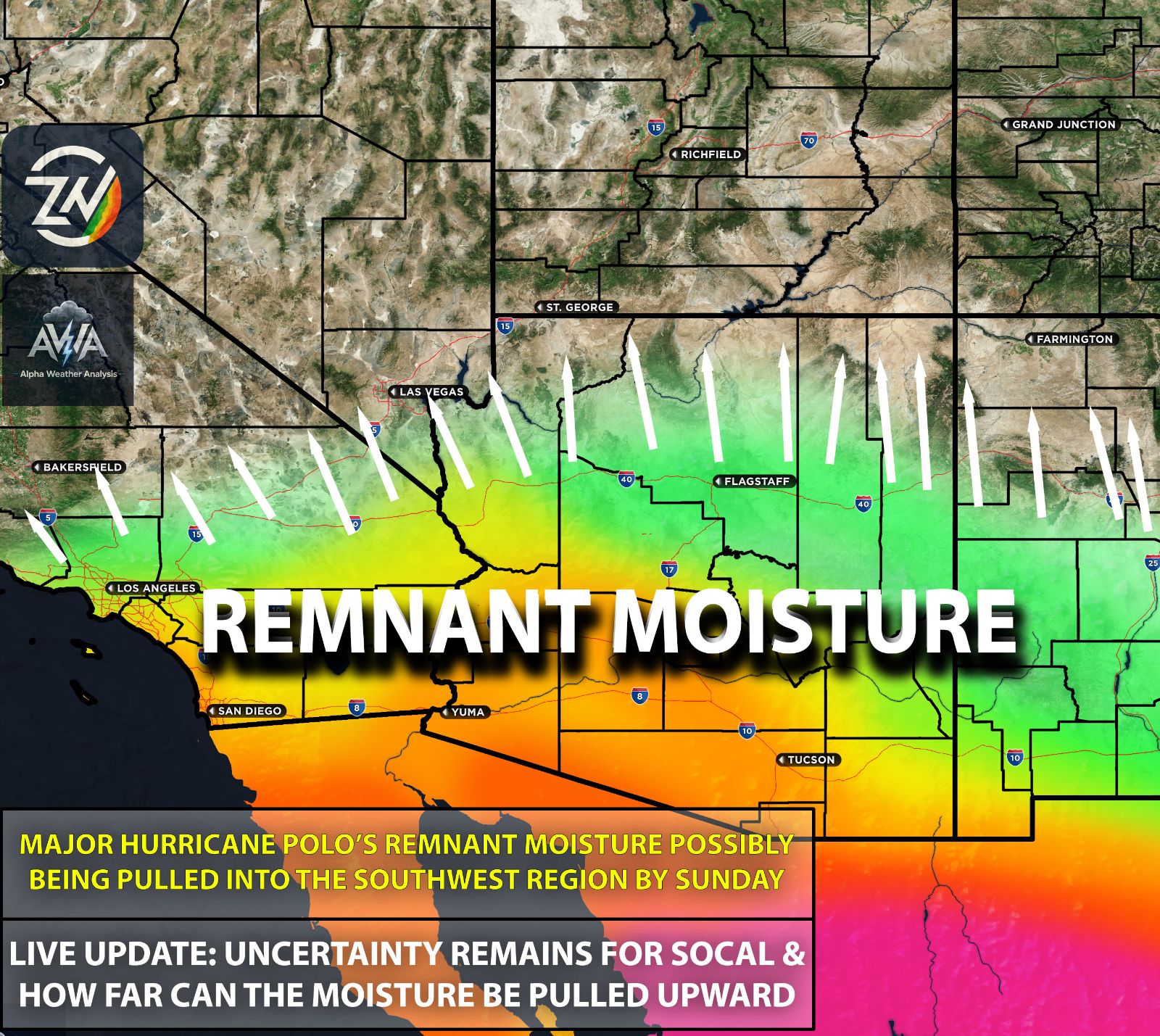
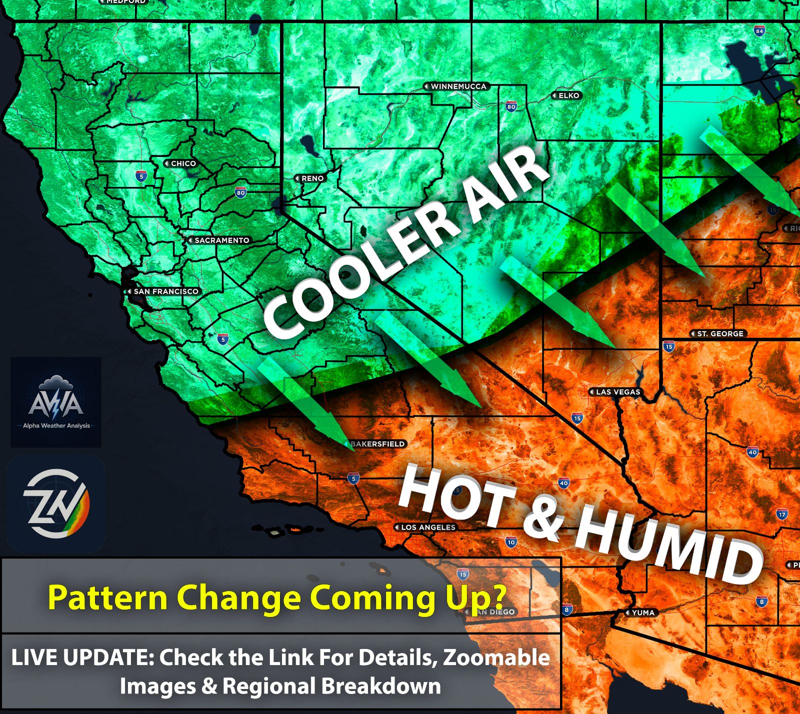
Confidence continues to grow that the majority of the deeper-layer moisture will remain east of Southern California, with Arizona likely becoming the bullseye once again. Southern California will likely be dry-slotted as drier air moves in behind the trough. Timing around Sunday to Monday continues to be the agreement. Regardless, subject to change.
However, one uncertainty remains: can the system slow down enough to allow sufficient moisture to reach Southern California for at least a few showers or thunderstorms? With such a complex setup, I cannot say with certainty that Southern California will receive nothing.
However, the risk of significant or heavy rainfall across Southern California currently appears very low. The majority of the moisture should be pulled northward into Arizona, bringing another risk of heavy rainfall and flooding across portions of the state.
Southern California could still see some precipitation, or it could receive very little rainfall while instead experiencing higher humidity, elevated tides, and some coastal flooding. Stay tuned for changes as confidence increases regarding this messy setup and the broader pattern associated with this strong El Niño before any major pattern changes occur.
Track of Hurricane Polo & Potential Impacts:
Hurricane Polo, while already extremely impressive, still has considerable uncertainty surrounding its eventual track. One possibility is that Polo moves inland and dissipates without returning over the ocean, while some model guidance suggests the possibility of the system moving back over water, creating more of a double-punch scenario.
This is something being closely monitored. If Polo moves back westward over the ocean, its remnant moisture could potentially be drawn into the Southwest toward the end of next week, introducing another surge of tropical moisture into the region.
Confidence in this scenario remains low for Southern CA, however, and the evolution of Polo will need to be closely monitored for changes. Arizona things look more confident for periods of heavy rainfall. Stay tuned for more updates.
TLDR: Isolated thunderstorms remain possible over the Southern California mountains this afternoon, while Arizona continues to see a better chance for storms as moisture increases. Looking ahead, confidence is growing that the deeper tropical moisture and heaviest precipitation will favor Arizona and areas east of Southern California, leaving Southern California more likely to be dry-slotted with only limited shower or thunderstorm chances, though higher humidity, elevated tides, and some coastal flooding are still expected. Hurricane Polo’s track remains uncertain, and if it eventually moves back over the ocean, its remnant moisture could bring another surge into the Southwest toward the end of next week, but confidence in that scenario remains low.