Good Tuesday afternoon, September 1st, 2026, at roughly 12:15pm PT.
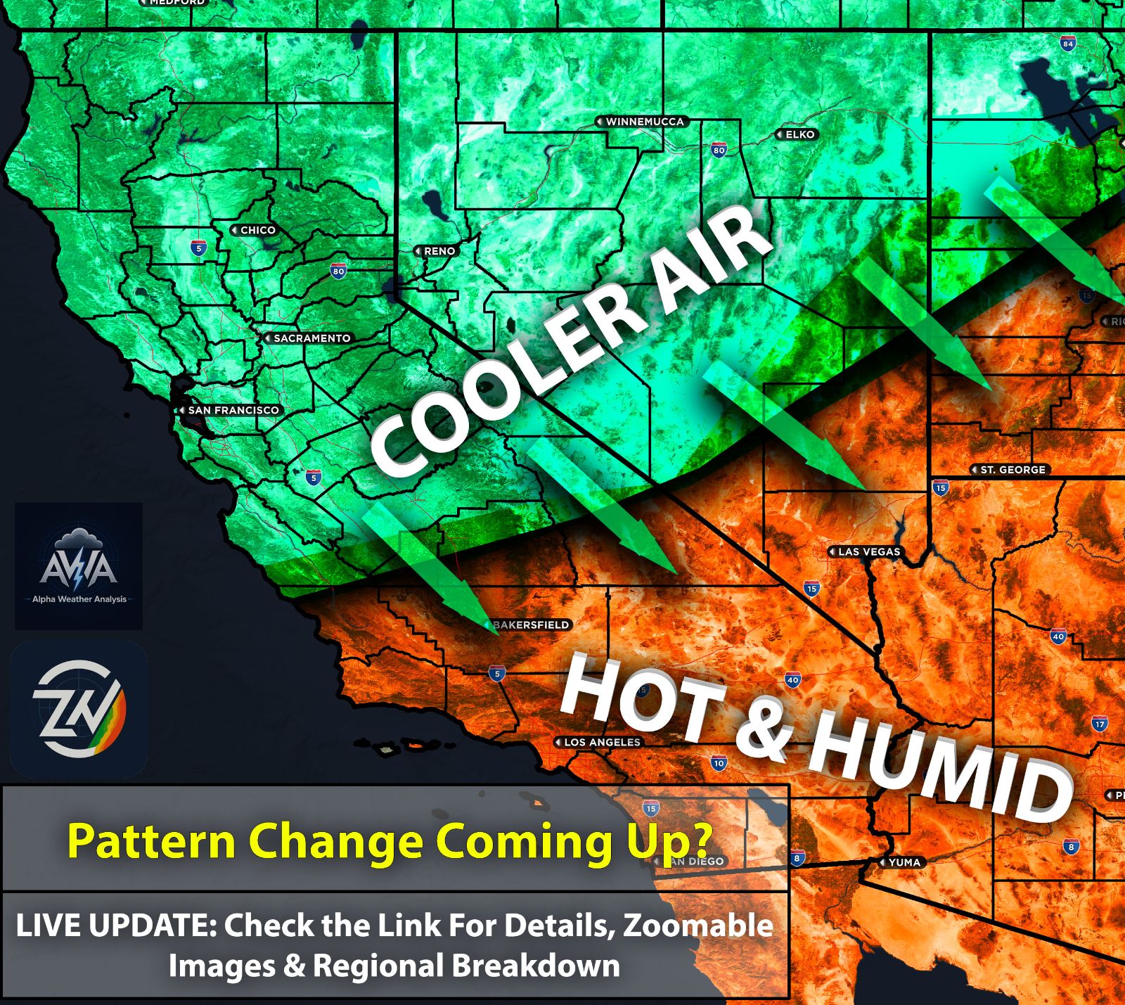
A lot of things to go over, so lets dive right in. Those slightly further inland, and especially further east across Southern California and Arizona, are certainly feeling the bone dry conditions. Combined with gusty winds in the higher terrain and wind prone areas, this is creating an elevated fire risk.
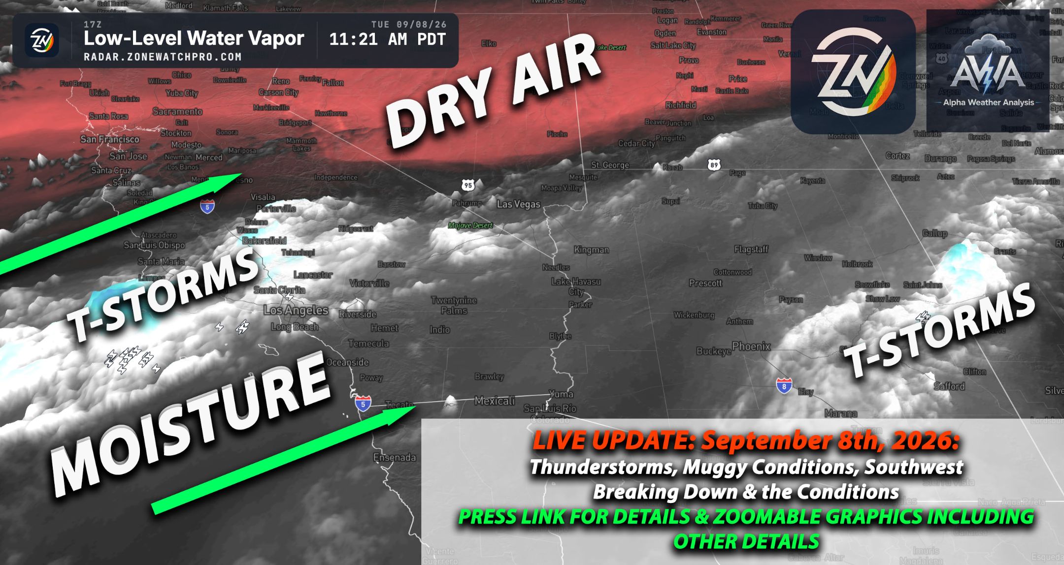
Fortunately, temperatures have cooled down a bit as we keep bouncing between extreme humidity and extreme dryness. For now, moisture has been pushed east as drier air moves in, temporarily stabilizing the airmass across the Southwest.
Within a few days, deeper moisture will likely return, depending on how close the remnant tropical system gets to our region. I'm leaning toward it staying further out than expected; however, the trough will still likely draw some moisture in. While confidence in remnant moisture impacting the area is high, the system's exact path remains highly uncertain.
Too many variables need to align such as the timing and pull of the trough, and the overall strength of the tropical system. Looking at this objectively, the setup likely won't become clear until a day or two before impact, at which point we'll know if we'll see any accumulating precipitation beyond just remnant moisture. The biggest takeaway will be the return of that humidity we all love.
Will continue to monitor those changes as we get closer. Stay tuned for updates.