Good Friday morning, August 28th, 2026, at roughly 10:30 AM PT.
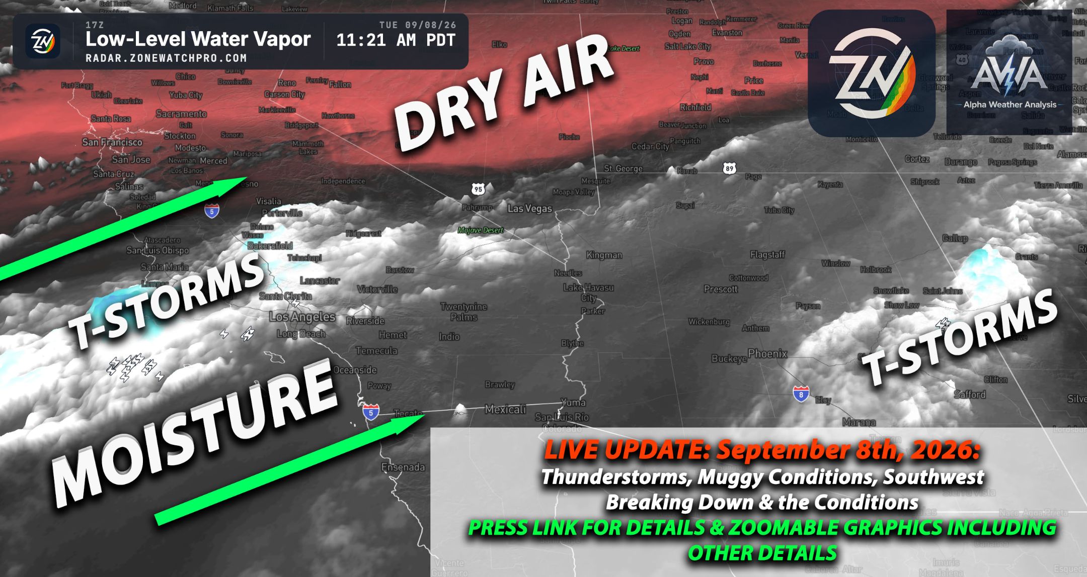
A massive 594 decameter high pressure ridge remains firmly parked over the Desert Southwest (NM/AZ border), acting like a stubborn houseguest refusing to leave while driving an unseasonably strong heat dome across the entire region. Arizona sits directly under the core of this roasting oven, baking in scorching temperatures while monsoonal moisture and upper level clouds stream in from the southwest, sparking scattered afternoon showers and angry thunderstorms focused mainly over the central and northern high terrains. This risk will increase drastically in the coming days with that trough & high pressure moving off east.
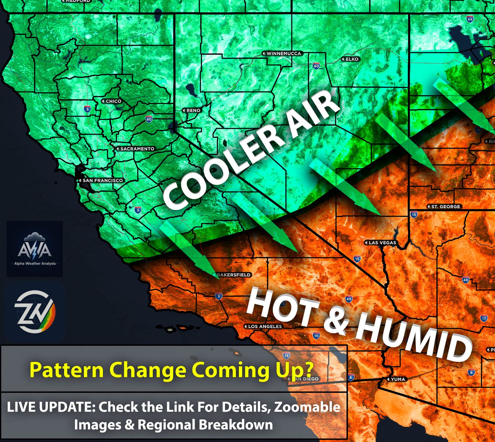
In Southern California, excruciating and well above normal heat continues, made even worse by a notable surge of mid level tropical moisture pulled northward from offshore remnants. This tropical influx is dramatically boosting humidity levels to create exceptionally muggy conditions that will make you deeply regret leaving the air conditioning, while bringing a risk for afternoon showers and thunderstorms over the mountains. Tired of the humidity? Not over for a while on and off...Enjoy 70s dew points... you know who. As ZoneWatch the app says "Taking a shower twice doesn't help."
Trapped beneath this oppressive ridge, the Inland Empire will bake in intense and sticky heat with convective threats thankfully staying anchored over the adjacent peaks. Meanwhile, the high and low deserts face brutal triple digit temperatures alongside elevated instability that could trigger rogue thunderstorm cells near terrain boundaries just to keep everyone on their toes. A few of those yes can be severe with a damaging wind risk.
Up in Nevada, clockwise flow around the ridge continues to transport moisture into the region, leaving the Las Vegas valley ridiculously hot while giving the surrounding higher elevations a legitimate shot at scattered thunderstorms and gusty winds. Utah remains squarely in the crosshairs of this monsoonal moisture plume wrapping around the northern periphery of the high pressure system, fueling widespread afternoon thunderstorms, frequent lightning, and localized heavy rain across its complex terrain to thoroughly ruin any outdoor hiking plans.
Meanwhile, Northern California continues to tap into this tropical remnant moisture, bringing scattered and mainly light showers with embedded thunderstorms here and there through at least tonight, though thankfully this convective activity will diminish quickly so everyone can go back to enjoying their dry weather.