UPDATE as of Tuesday September 22nd, 2026 around 6:30pm PT: Really quick I heard you guys loud and clear over 1000+ messages asking about it… updates only come out when enough confidence is there to be given the information needed to know a bit more…That being said, uncertainty still remains given the complex setup…
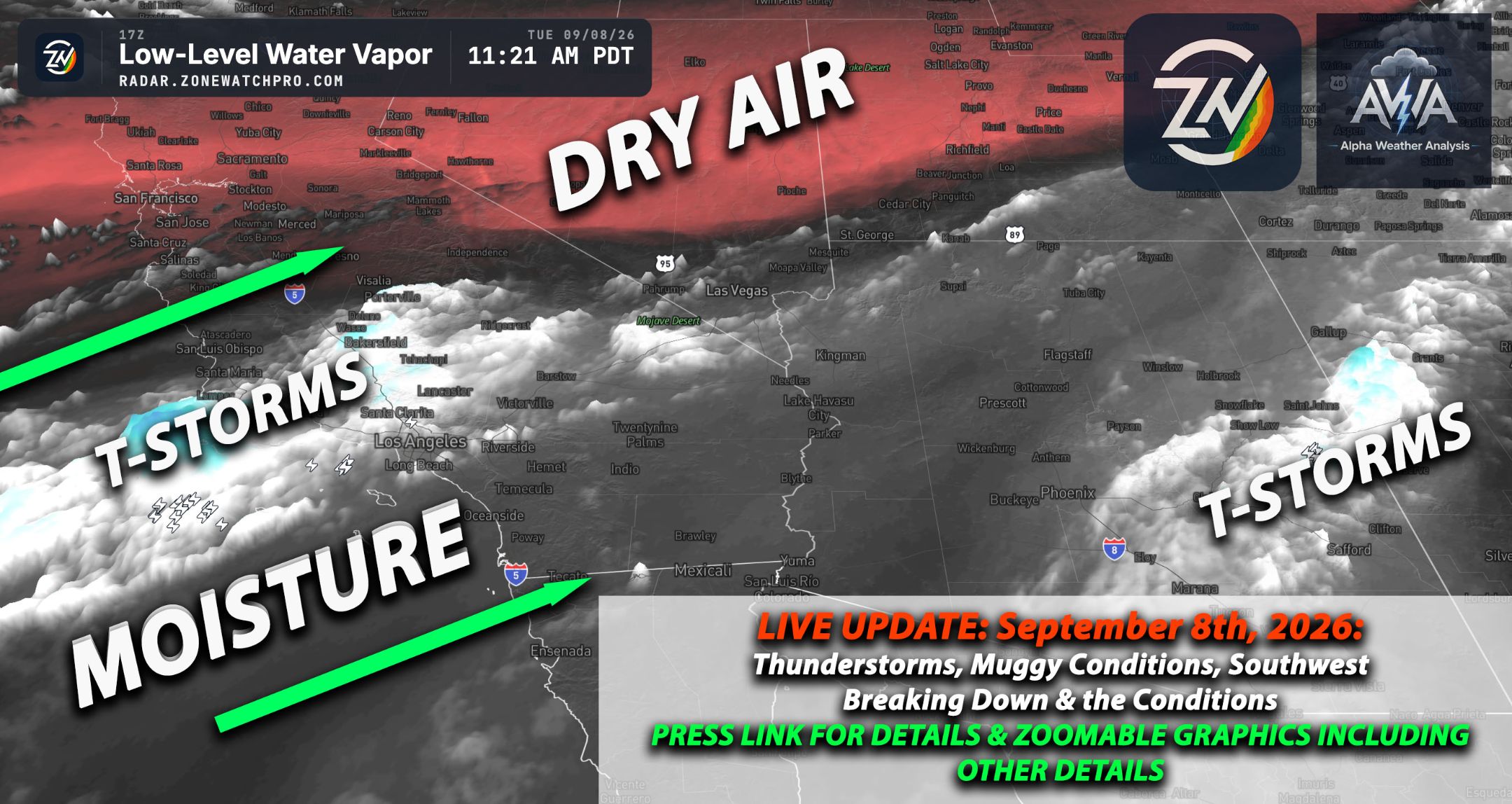
Both the ECMWF deterministic and ECMWF AIFS and other models are signaling a notable increase in tropical/subtropical moisture across the Southwest by Sunday, September 27, with the moisture source clearly tied to the eastern Pacific and the circulation south of Baja California. The deterministic ECMWF is the more aggressive solution, drawing a pronounced plume of higher precipitable water northward through northwestern Mexico and into Arizona, southeastern California, southern Nevada, and portions of New Mexico.
Much of Arizona appears to reach roughly 1.1–1.6+ inches of PWAT (how moisture is measured), with even greater moisture closer to the international border and Sonora. For late September, that would represent a fairly moisture-rich environment and could substantially increase rainfall efficiency wherever thunderstorms or organized lift develop.
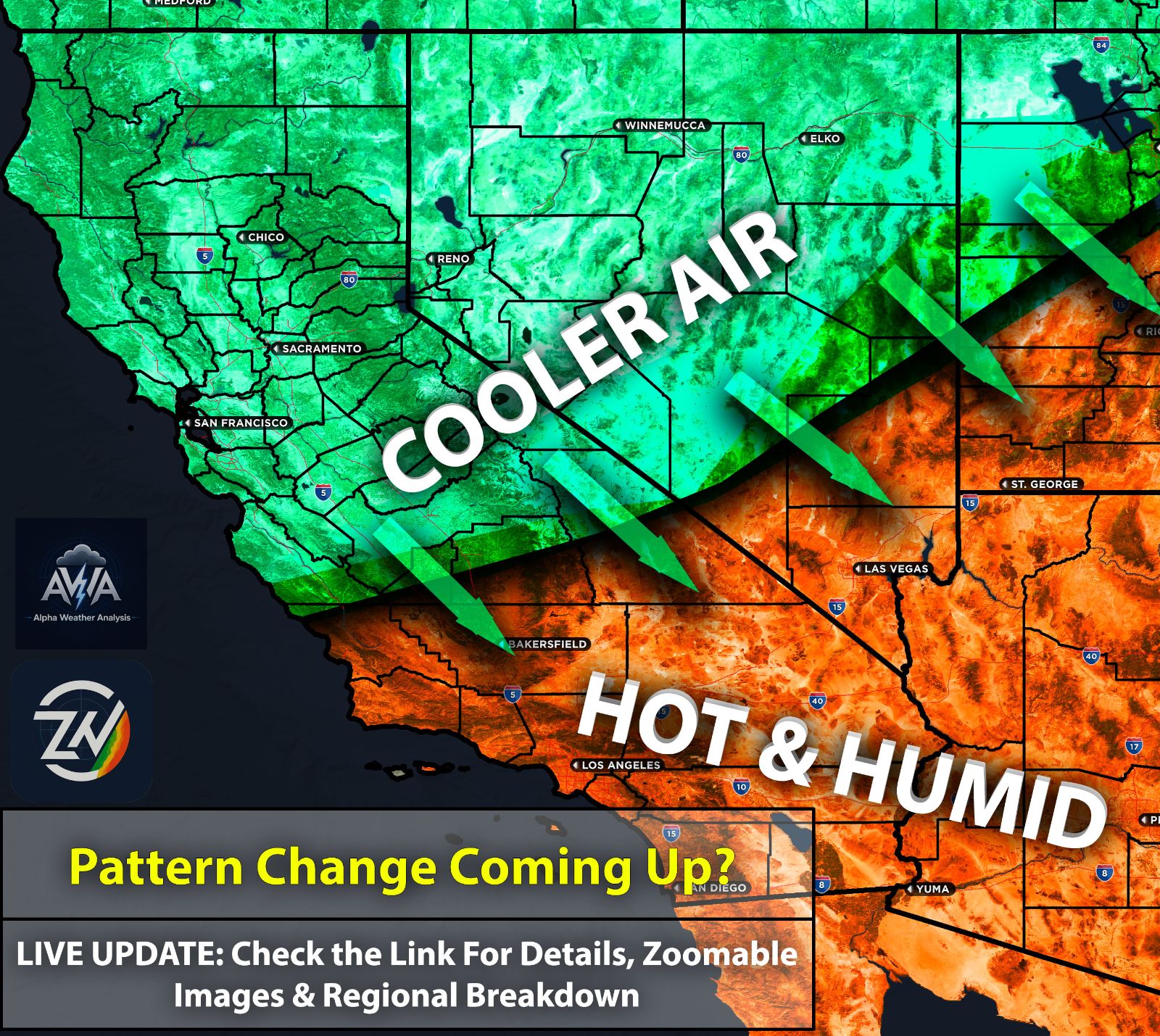
For Southern California, the signal is more nuanced, with both solutions showing moisture increasing from the south and southeast, especially across the lower Colorado River Valley, Imperial County, eastern San Diego County, Riverside County, and the adjacent deserts. The deterministic ECMWF brings a noticeably stronger moisture envelope into southeastern California and western Arizona, while AIFS is somewhat more conservative and keeps the richest moisture farther south and east.
That distinction is important because a modest shift westward in the moisture axis could considerably increase thunderstorm and locally heavy-rain potential for Southern California’s mountains and deserts. An eastward solution would favor Arizona much more strongly and leave coastal Southern California with only a limited moisture increase.
The biggest forecasting takeaway is that both independent ECMWF systems recognize the same broad-scale moisture transport, which gives the pattern more credibility, but the magnitude and western extent remain uncertain at roughly five days out. High precipitable water by itself does not guarantee flooding or widespread thunderstorms, as sufficient instability, upper-level forcing, storm motion, and the eventual track and weakening of the tropical circulation will determine how significant the event becomes. More details therefore will be needed to see but should confidence hold with the level of moisture over southern CA, we could see elevated risk for t-storms...
At this stage, Arizona appears to have the more consistent signal for meaningful tropical moisture, while Southern California sits near the western gradient of the plume, making it particularly sensitive to relatively small changes in the atmospheric pattern. This is therefore a setup worth monitoring closely over the next several model cycles, especially for possible heavy thunderstorms, localized flash flooding, and renewed convective activity across Arizona, southeastern California, southern Nevada, and western New Mexico. Continue to stay tuned for more updates as confidence continues to grow…
TL;DR Summary: As of Tuesday evening, September 22, there is growing agreement that a notable surge of tropical and subtropical moisture could move north into the Southwest by Sunday, September 27, particularly across Arizona, southeastern California, southern Nevada, and western New Mexico. Arizona currently has the stronger and more consistent signal for deeper moisture and an increased potential for heavier thunderstorms and localized flooding, while Southern California remains closer to the western edge of the moisture plume, meaning even relatively small shifts could significantly change the outcome for the mountains, deserts, and possibly areas farther west. Confidence is increasing in the overall moisture surge, but considerable uncertainty remains regarding exactly how far west the deepest moisture reaches, how much instability develops, and where the heaviest rainfall ultimately occurs.
Stay tuned for the next update.