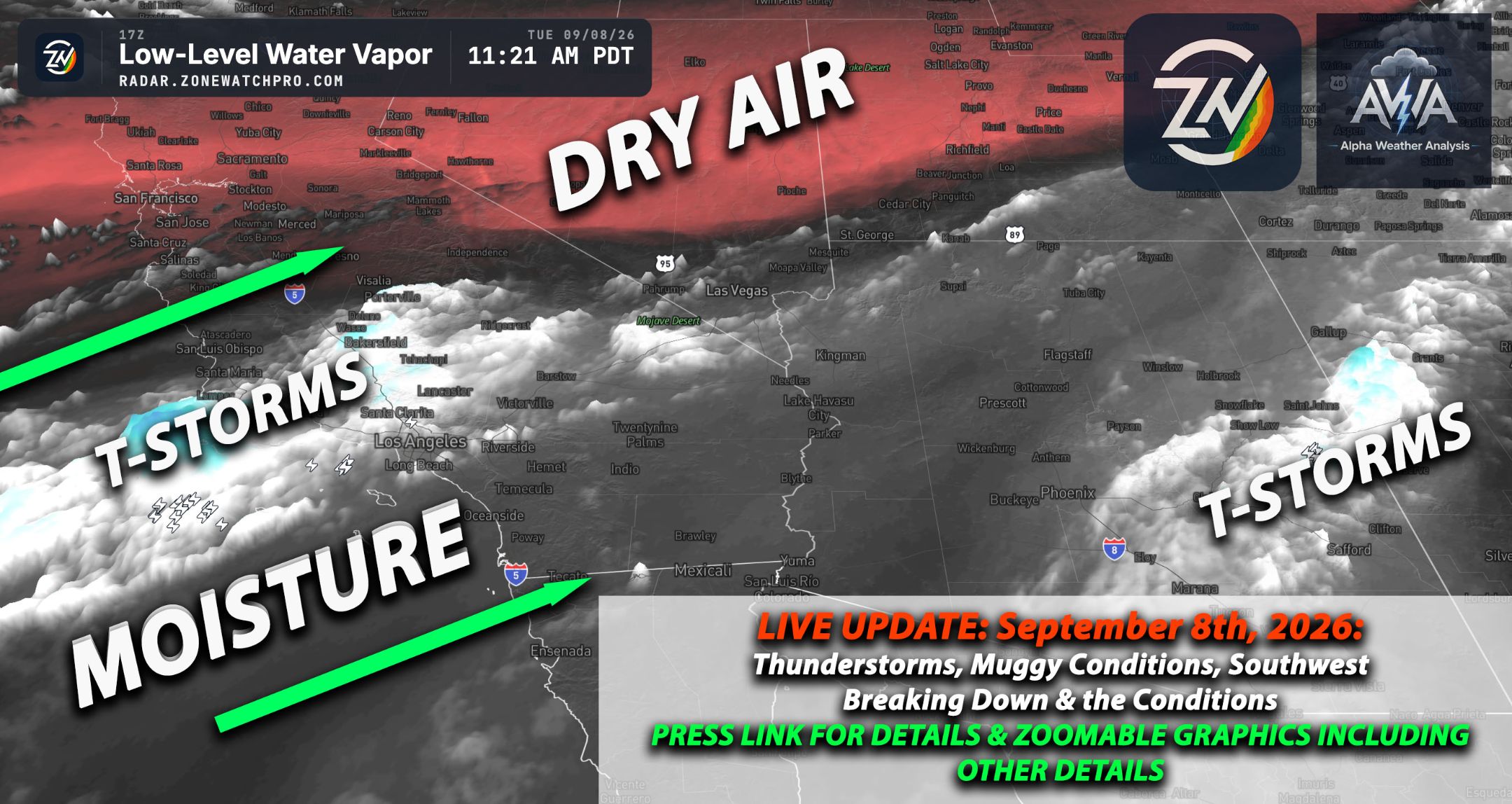
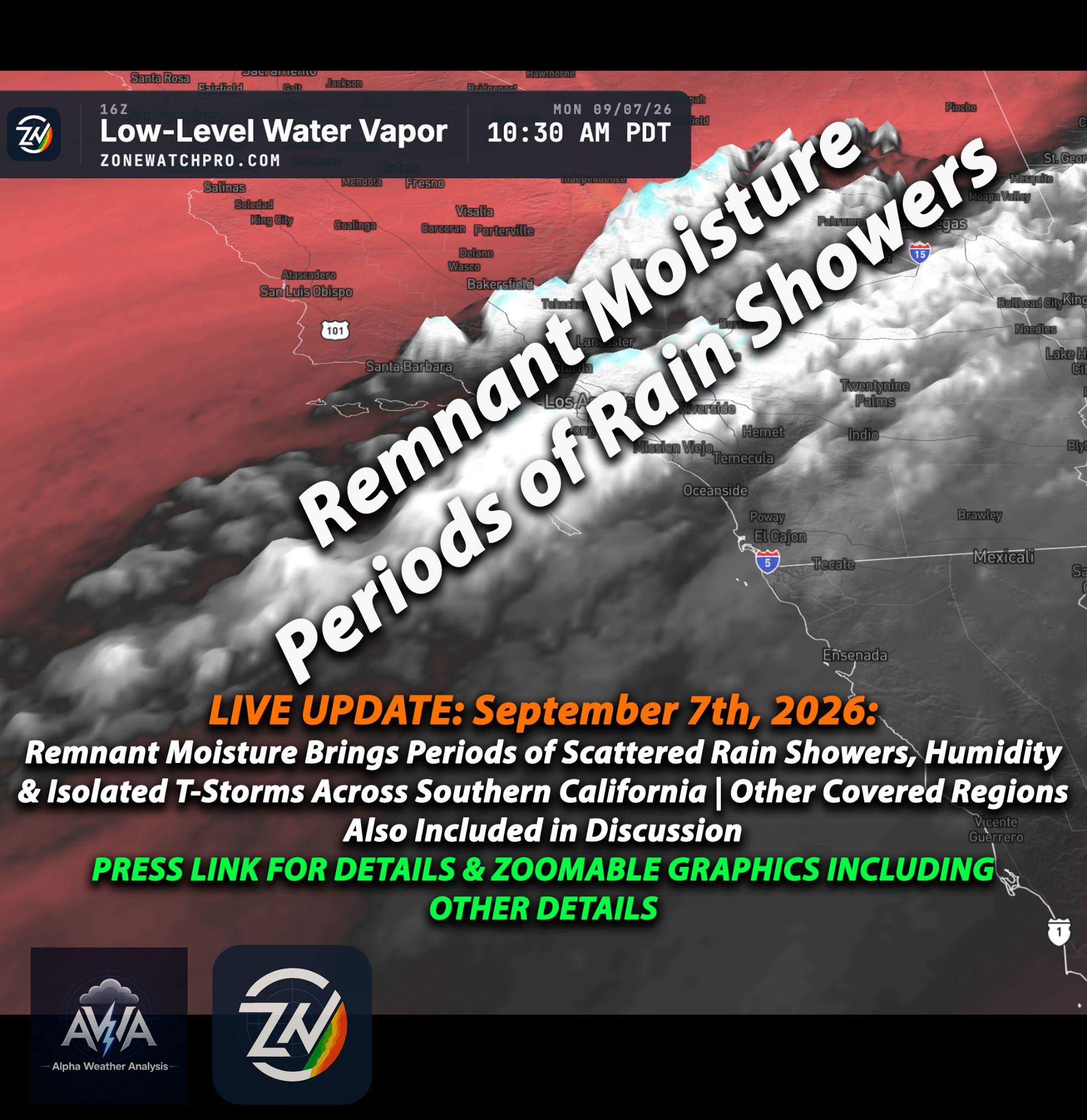
Good Thursday morning, September 10th, 2026, at roughly 11am PT. It’s HOT & Humid and many areas have broken records… In fact, this summer for July and August, AZ, NM, UT, & CO broke records for being the hottest months. Temperatures for today by region broken down below by ZoneWatch.
For Thursday, September 10, 2026, a stubborn 594 to 597 dam subtropical ridge over Arizona continues holding the Southwest hostage, keeping the region unusually hot while tropical moisture sloshes around its edges.
Today Across the Southwest Area:
Southern California is finally starting a gradual cooldown along the coast and western valleys thanks to strengthening onshore flow, though it still feels a bit like a sauna with those dew points. The Inland Empire remains a crispy upper 90s to 100 degrees, while the High Desert hits 97 to 105 with breezy afternoon winds.
The Low Desert takes the heat crown at 109 to 114 degrees, with a lingering chance for rogue mountain or desert thunderstorms. Temperatures will continue to feel higher due to that humidity...
Arizona remains directly under the heat dome. Phoenix and the lower deserts face dangerous temperatures around 108 to 112 degrees. Meanwhile, eastern and southeastern areas, like Cochise County and the White Mountains, have enough moisture for scattered thunderstorms.
Watch out for heavy rainfall and localized flooding down there. The risk is being watched as well to see if any increased activity is anticipated. Nevada keeps Las Vegas and the Mojave Desert at near peak heat today.
Northern and western Nevada offer a slightly more tolerable low 90s, with a chance of afternoon showers near the Sierra.
Northern California interior valleys remain baked in the 90s. The Bay Area has lingering tropical clouds, but the overall atmosphere is aggressively drying out.
Utah gets to enjoy a dry, sunny, and warm day with light winds. It is the peaceful calm before the Pacific Storm starts to influence its weather making it more unsettling.
Looking Ahead Forecast:
A major pattern change kicks in from Saturday through Tuesday as a northern stream trough crushes the ridge. Mother Nature is finally checking her calendar and realizing it is September.
Northern California and Nevada cool sharply first, with gusty winds becoming a nuisance Friday and Saturday. Interior regions drop from the 90s into the highly anticipated 70s and 80s.
Southern California temperatures plummet through the weekend as the marine layer returns in full force. By Sunday, the Inland Empire could be 4 to 8 degrees below normal.
Utah gets chaotic Friday and Saturday with moisture, isolated thunderstorms, and a strong cold front bringing southwest wind gusts over 45 mph by Saturday evening. Hang onto your hats.
Arizona can expect one last burst of thunderstorm potential on Friday, mostly south and east, before much drier, cooler air sweeps in to save the day.
By Monday and Tuesday, the entire West will be comfortably draped in a much more seasonable early fall air mass. Giving us at least a temporarily cool down... However, the humidity wont lower too much given the warm oceans (above normal SST).Stay tuned for more updates.