Good Saturday afternoon, September 5th, 2026, at roughly 1pm PT.
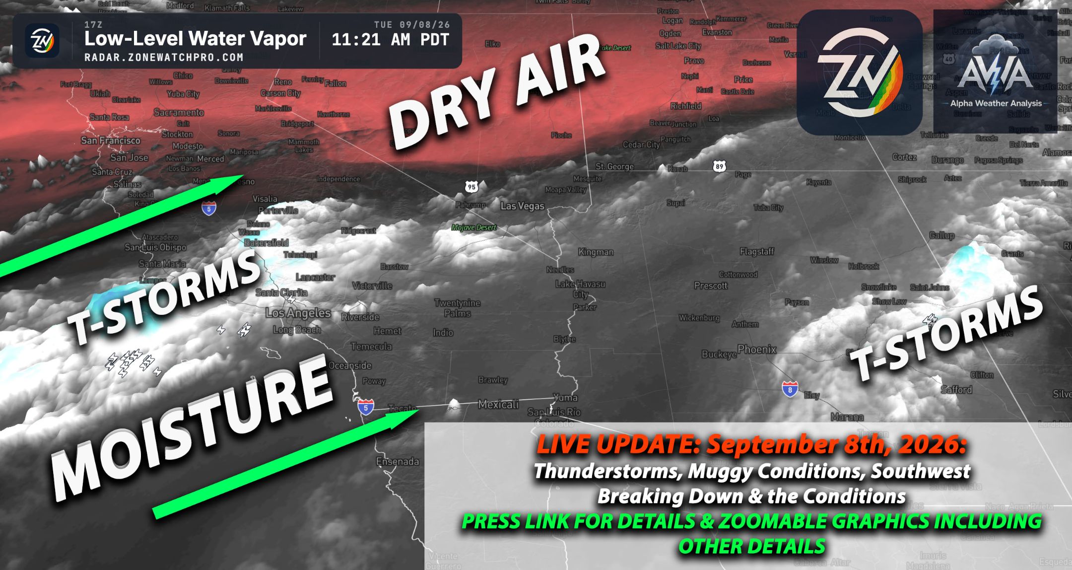
Confidence has finally grown on timing as well as rainfall totals when it comes to remnant moisture coming from Hurricane Marie. This remnant moisture is expected to impact the Southern California region as soon as very late Saturday night.
Showers with a few heavier ones embedded, especially across northern portions of Southern California, will be around Sunday morning into Sunday afternoon, with the bulk being around Sunday between 8 am and 1 pm. However, scattered showers will continue and diminish with time as Sunday night comes.
Also, Marie even if it comes closer to our area. It wont influence much unless it really shifted tracks (not gonna happen) towards southern CA. I see it a lot being discussed and no, that wont do anything without a major shift east…Being unbiased lets go with realism.
Rainfall totals range based on the rainfall estimates seen in the map below. Check your region for estimated rainfall totals. Should you want to see more in terms of timing and much more information, check it out on ZoneWatch, the app or the web platform, for those details.
What will continue to be monitored is whether, based on this remnant moisture, there will also be any embedded thunderstorm activity, especially across areas that have orographic lift and instability to work with. That being said, this is not a widespread thunderstorm event, given the lack of ingredients and the positioning.
Some areas will get a decent amount of rainfall, at least at this point. We can consider decent anything over 0.5 in. of rain, given the amount of time we haven't had rain for most of us, while other areas could even get at least over 1 in. of rain.
Now, the more south you go, based on the moisture track, such as San Diego, will be on the low end. Most areas will barely hit 0.1 in. That being said, an embedded heavier shower can increase these rates locally, so don't be surprised if you get hit with a heavier shower.
Nothing crazy, a very normal event. Stay tuned for more updates. There will also be an El Nino update later today.
Today, we are now hitting off-scale chart territory, if it isn't already clear enough, when looking at three different hurricanes at the same time across the Pacific, which will really influence the subtropical jet stream.
We're now just playing with time on when this subtropical jet stream will dive down into our area. A very interesting setup is coming, and a breakdown will come within the next 24 hours with an article.