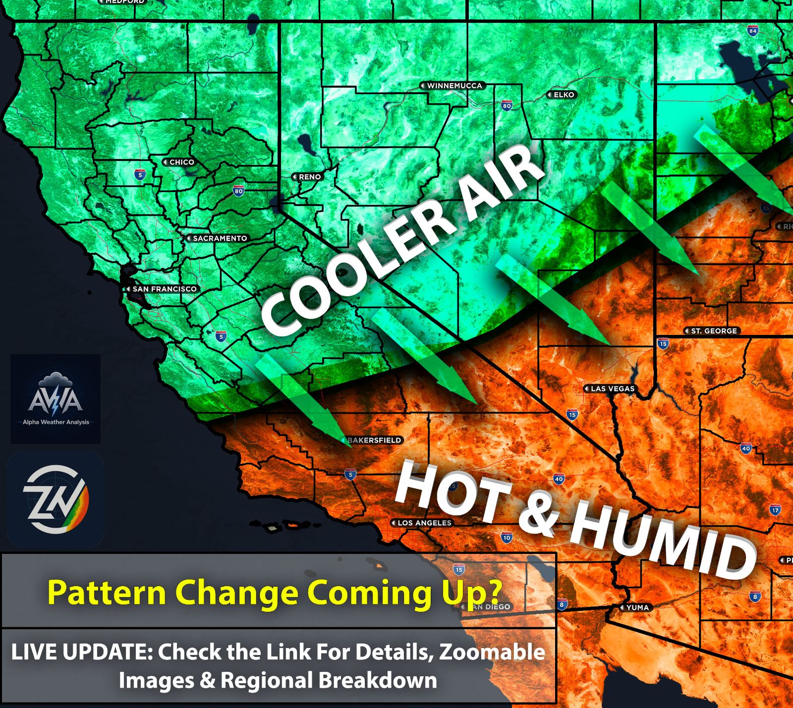
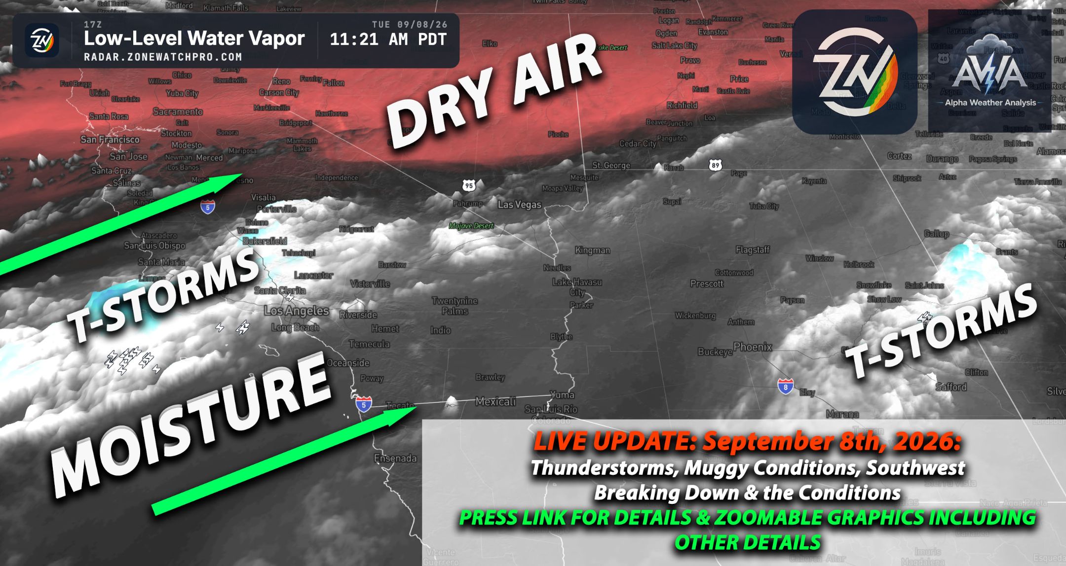
Good Monday morning, August 31st, 2026, at roughly 9:50am PT. A cooldown can finally be felt alongside much drier conditions (though it remains humid due to abnormal marine heating, humidity levels are lower compared to last week). The weather packed a punch yesterday across UT, portions of NV, AZ, and surrounding regions. Given the already active weather, predicting exactly who gets what will be complex...
A passing shortwave is clipping the northwestern corner of Arizona today, which will help keep that vital moisture funneling right into the Flagstaff area and ensure the proper dynamics are in place for continuous convection. To put it briefly, all the right ingredients are coming together for a very active day across the high terrain, though patterns like this can always get a bit tricky when we are dealing with lingering overnight convection.
Further south, morning convection from a degrading MCS that slammed portions of Phoenix continues to move northeastward. Near Tucson, high-resolution models continue to track a storm moving into the area, which will bring more strong convective storms through early afternoon. Any storm can become severe and is capable of producing damaging winds. Given the abundant moisture, these storms also carry a risk of flooding, which continues through late this evening.
What’s next? There is too much to cover in a brief update, so let's summarize: a west-southwesterly flow is expected to mix with drier air across AZ by Tuesday. This will significantly stabilize the air as dew points drop, further degrading the risk of thunderstorms into Wednesday. An update for the upcoming weekend will follow, featuring a full breakdown of potential scenarios given the current model discrepancies.
Meanwhile, Northern California remains fully shielded from any monsoonal influx, sitting under a deeply dry and stable air mass that guarantees clear skies and warm temperatures, completely free of any thunderstorm chaos. Utah is expecting widespread thunderstorms this afternoon, as the right ingredients come together to produce storms across most of the region. Some of these storms could be severe, with damaging winds from microbursts being the main threat.
Southern CA is experiencing slightly drier conditions despite the marine heat situation. This trend is visible on ZoneWatch, which shows dew points a few degrees lower (even though the humidity still feels disrespectful).
Again, keep your eyes on the tropics... things are looking more interesting for Southern California. I am NOT SAYING HURRICANE, but higher rates of precipitation are looking more likely for some. Update with full breakdown info within a few hours...