Good Monday morning, September 7th, 2026, at roughly 11am PT.
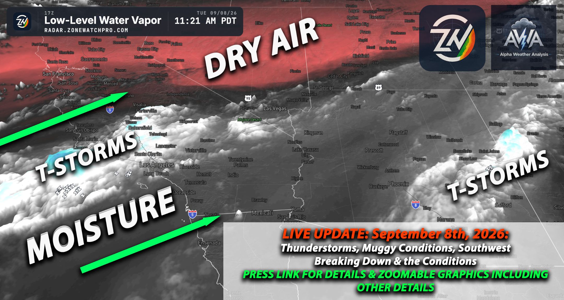
Remnant moisture continues to flow into Southern California, especially across the northern portions of the region, including Los Angeles, Ventura, and neighboring areas, with less moisture farther south. Given the moisture, scattered showers continue to impact the area on and off and will likely continue through at least the evening hours before gradually diminishing.
The risk for thunderstorms continues mainly over the higher terrain, where orographic lifting is also present as moisture encounters the mountains and is forced upward. Clearly, as has been mentioned multiple times, the main impacts have been across the northern portions of Southern California, with San Diego remaining the drier area due to the drying influence of the dry slot.
Mother Nature sure enjoys teasing us, though, and still provided enough low level moisture across the entire region to keep humidity elevated. If you did not get rain, you definitely got the humidity.
How about the other regions that we cover? The Inland Empire, High Desert, and Low Desert begin warming today as heights rise, with the Inland Empire transitioning back toward hotter conditions, the High Desert becoming increasingly warm and mostly dry, and the lower deserts heating considerably while residual moisture keeps conditions more humid than typical. The much stronger heat arrives Tuesday through Thursday rather than today.
Arizona is largely quiet today as drier air spreads through western, central, and northern portions of the state, with only leftover morning virga or light showers in some areas, while meaningful thunderstorm activity becomes concentrated over the eastern Mogollon Rim, White Mountains, and far eastern Arizona where deeper low level moisture remains. Phoenix and most of the lower deserts stay mainly dry today before temperatures and humidity increase sharply beginning Tuesday, while northern Arizona sees plenty of mid and upper level clouds but limited rainfall outside the far eastern high terrain.
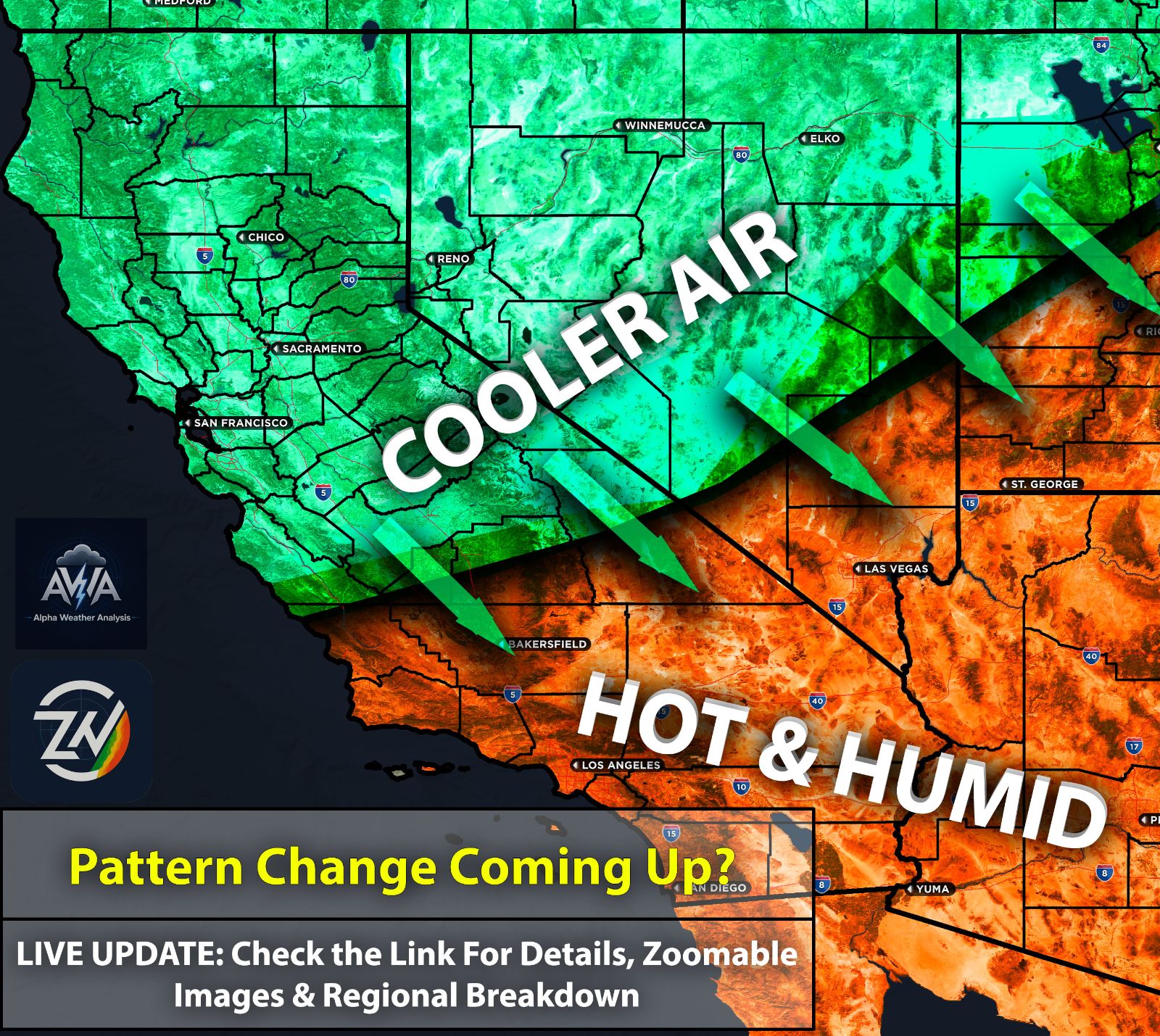
Nevada, including Las Vegas, is entering a much quieter pattern as the western trough departs and high pressure builds, leaving Las Vegas and southern Nevada dry with warming temperatures and minimal thunderstorm potential. Western and northern Nevada also turn warmer and drier, with generally lighter afternoon winds than recent days and highs beginning their climb back toward the 90s later this week.
Northern California also warms and dries beneath rising heights, with Sacramento Valley temperatures generally reaching the mid 80s to lower 90s, mostly clear skies across the interior, and breezy northerly winds locally gusting around 25 mph along the Interstate 5 corridor. The Sierra also remains largely dry.
Utah is the main exception to the warming trend today as a cold front moves southeast through the state, bringing lingering morning showers to northern Utah before drier air rapidly moves in, with northern areas running roughly 5 to 10 degrees below normal while southern Utah stays near to slightly below normal and remains breezy south of the front.
Overall, September 7 is a transition day from the recent unsettled western pattern toward expanding high pressure, warmer temperatures, and mostly dry weather, with the main exceptions being lingering tropical showers in Southern California, isolated storms in far eastern Arizona, and a cooler frontal passage across Utah.
Stay tuned for more updates.