Good Thursday morning, September 3rd, 2026, at roughly 11am PT.
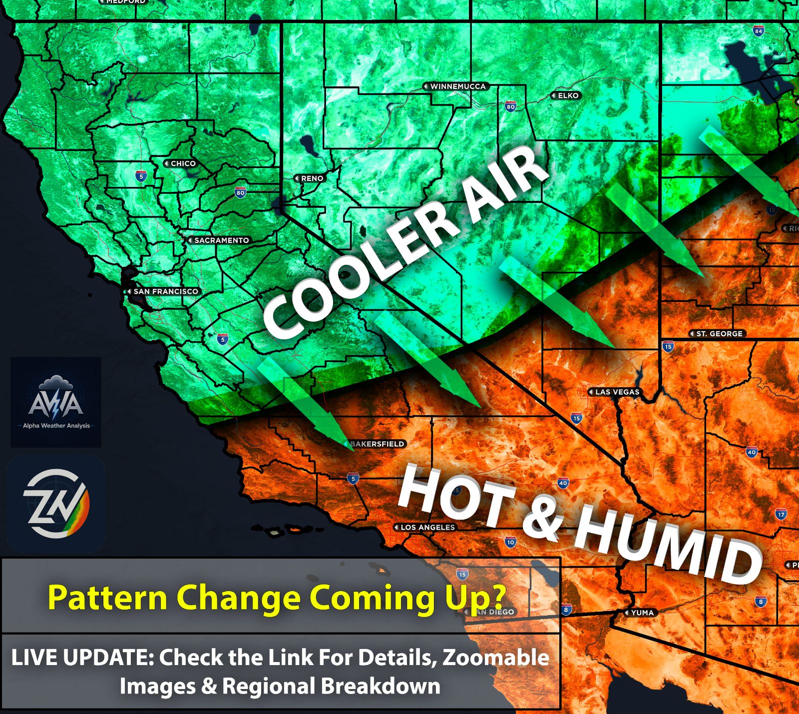
Cooler and drier temperatures are finally dominating the area after that seemingly endless stretch of heatwaves, thanks to a broad trough bringing southwest flow aloft. Let's jump straight into the main event everyone is watching: Hurricane Marie.
Spoiler alert: she is not expected to have any direct impact on Southern California. She continues to cruise west northwest at around 10 mph, just enjoying her time in the warm ocean for now. Her track continues to stay westward.
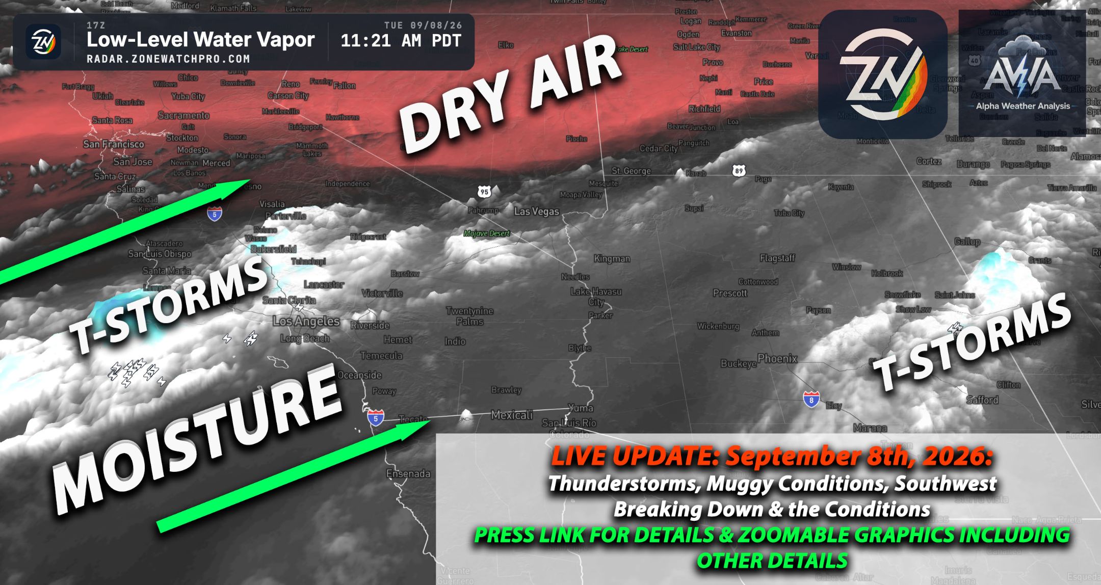
As stated in plenty of previous updates, no direct tropical storm or hurricane impacts were ever expected here, despite all the doomsday hype from the local news and your panicked neighbors. What we do expect is for some of her remnant moisture to be pulled into Southern California around Sunday.
This will give way to light, on and off rain showers for certain areas. The main discrepancy right now is the exact rainfall totals and who gets what.
While most models agree the rain will be on the lighter side, the great mystery is whether San Diego, Los Angeles, or both will actually see any drops. Since rainfall totals look significantly low, it seems we are mostly just looking forward to that wonderful, sticky humidity we all know and love.
September continues to show signs of more activity for Southern California, not just Arizona. We will keep an eye on things and report back once our confidence grows. Speaking of Arizona, the state and its surrounding regions will also pull in some of that tropical remnant moisture, increasing the risk for showers and thunderstorms heading into the weekend. The highest chances will be across eastern and southeastern AZ.
Stay tuned for more updates.