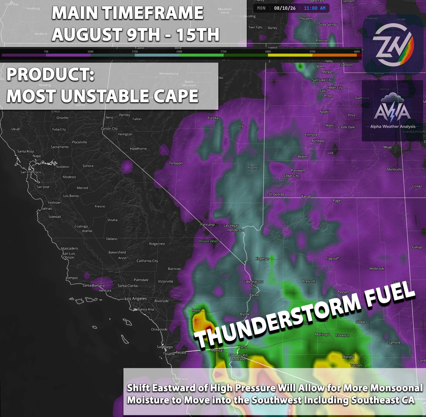
A highly active weather pattern is setting up, with conditions across Arizona steadily intensifying each day. We are consistently seeing showers and thunderstorms, some of which are severe, especially across the southeastern portions of the state and higher terrain regions. This activity will continue to build daily as an El Niño driven surge of monsoonal moisture blankets the entire Southwest.
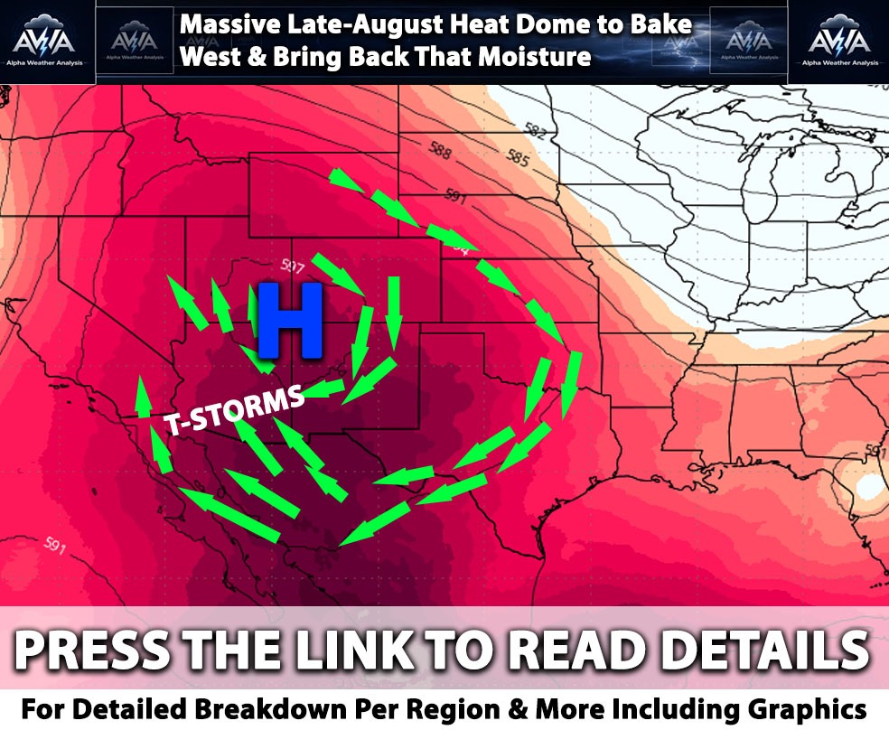
As we break down this pattern right after my birthday today, July 11, we are tracking an influx of incredibly robust monsoonal moisture entering the region. Arizona can expect widespread, numerous thunderstorms across most of the state especially after Sunday. This highly active pattern won't be limited to Arizona; we are closely watching Southern California as well. We will continue to track this day by day, but for now, let's look at the next couple of days, as the forecast is getting quite interesting. As we've been noting for a while, mid month will bring a massive monsoonal moisture plume into the Southwest, signaling the beginning of a very active weather cycle.
Southern California Breakdown July 12 to 13th
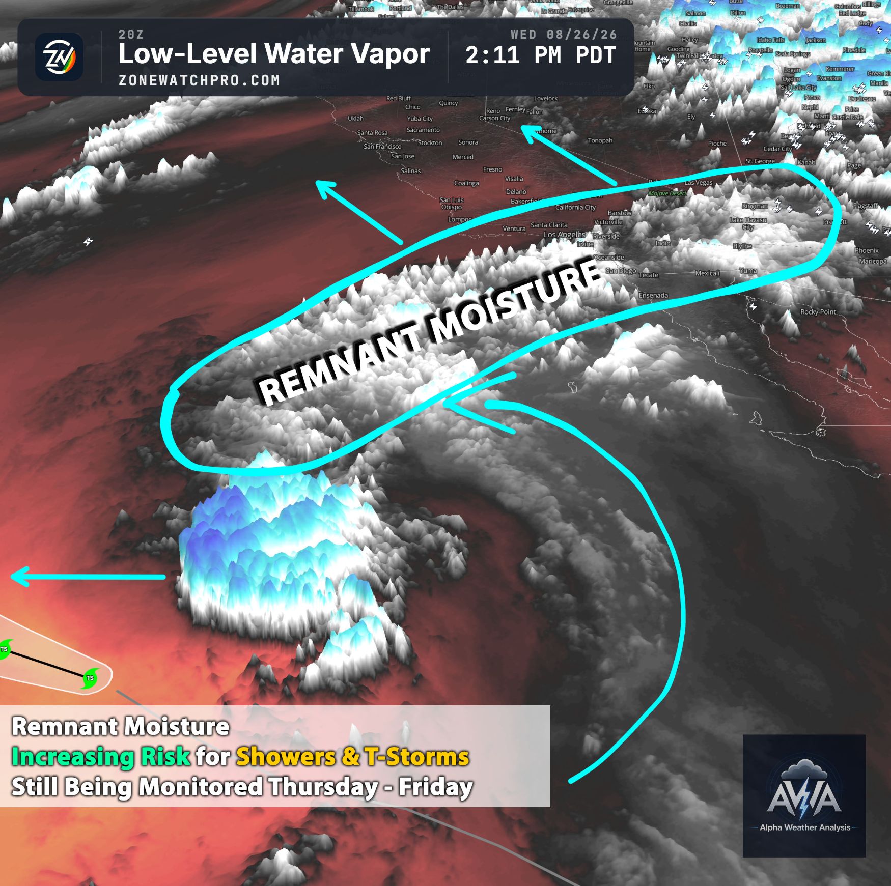
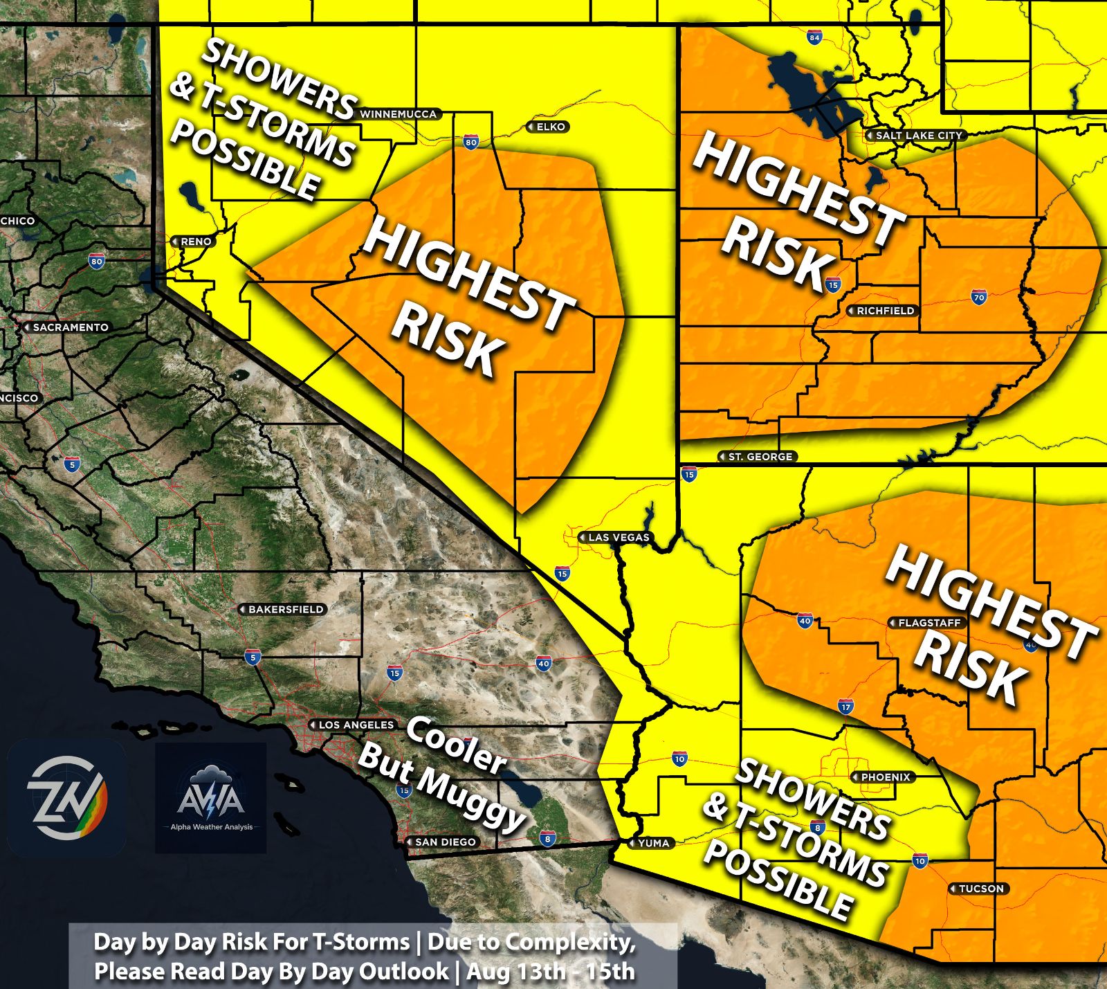
The upper level ridge continues to dictate the broader pattern. AWA Analysis indicates a notable surge of mid level vorticity and moisture wrapping around the western periphery of the high pressure system. As seen in the image below, scattered vorticity maxima (easy way without getting complex air rising and spinning a key ingredient for lift as well) will push into the interior regions. For the coastal plain and valleys, the marine layer remains brutally compressed, maintaining muggy and oppressive conditions. Inland over the Transverse and Peninsular Ranges as well as the eastern deserts, this moisture influx will ignite afternoon convection. Initial threats on Sunday include dry lightning and erratic outflow winds, transitioning rapidly to a localized flash flood threat by Monday as the atmospheric column saturates further. Any storm can become strong given the ingredients as well especially as we push into next week… Each day the risk seems to increase more and more as well given the ingredients present. This includes the Inland areas perhaps as west as the metros especially as we go into mid next week (which will be monitored). West of the mountains across southern CA will also have a risk for t-storms especially after Sunday... follow for more updates and have AWA alerts + ZoneWatch to be alerted when it gets active.
Nevada Breakdown July 12 to 13th
Full guidance and pattern continues to display a very distinct and intense band of cyclonic relative vorticity surging northward through western and central Nevada on Sunday, before shifting slightly eastward on Monday. AWA Analysis points to this feature as a potent dynamic trigger for widespread monsoonal thunderstorms. The entire state will experience a rapid transition from extreme dry heat to a highly active convective environment. High based thunderstorms will pose a significant operational risk for dry lightning and severe, dust outflow winds, particularly along the Sierra front and the central Great Basin corridors. This also includes Las Vegas and surrounding regions as well...
Arizona Breakdown July 12 to 13th
Arizona sits firmly embedded within a very active monsoonal flow (hyper active) under the southern periphery of the Four Corners high. The ECMWF vorticity fields for both days and continuing to show widespread and chaotic vorticity maxima blossoming across the entire state aka with other ingredients present, widespread t-storms… This presents a classic signature for daily rounds of scattered to numerous afternoon and evening thunderstorms. AWA Analysis continues to highlight that while the higher terrain of central and eastern Arizona will face the brunt of the heavy rainfall and flash flooding threats, the lower deserts including the Phoenix and Yuma areas will remain highly susceptible to aggressive, dust laden outflow boundaries sweeping down from the mountains prior to any measurable precipitation.
Stay tuned for updates and have a way to be informed.