A potentially historic El Niño is developing, or should I say, already ongoing, and the placement of its strongest warming could make this winter especially interesting for Southern California, Arizona, Nevada, and the Pacific Northwest. Every long range model has been screaming crazy amounts of precipitation and a perfect setup for flooding…
Take that with a grain of salt. However, what stands out is the concentration of warmth in the eastern equatorial Pacific. That matters because the location of tropical thunderstorm activity helps determine how the atmosphere responds thousands of miles away. As thunderstorms develop over these warmer waters, they release heat into the atmosphere, changing the circulation and sending large atmospheric waves across the Pacific.
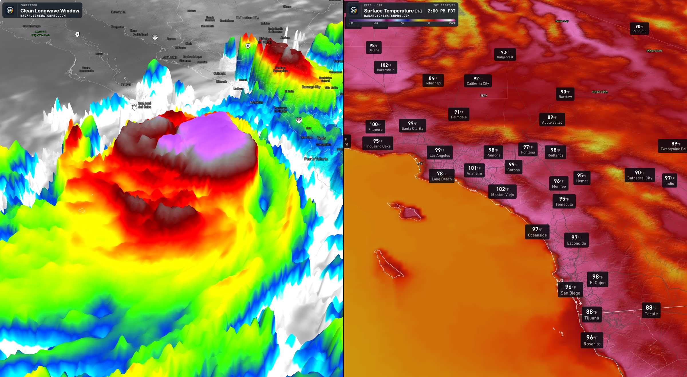
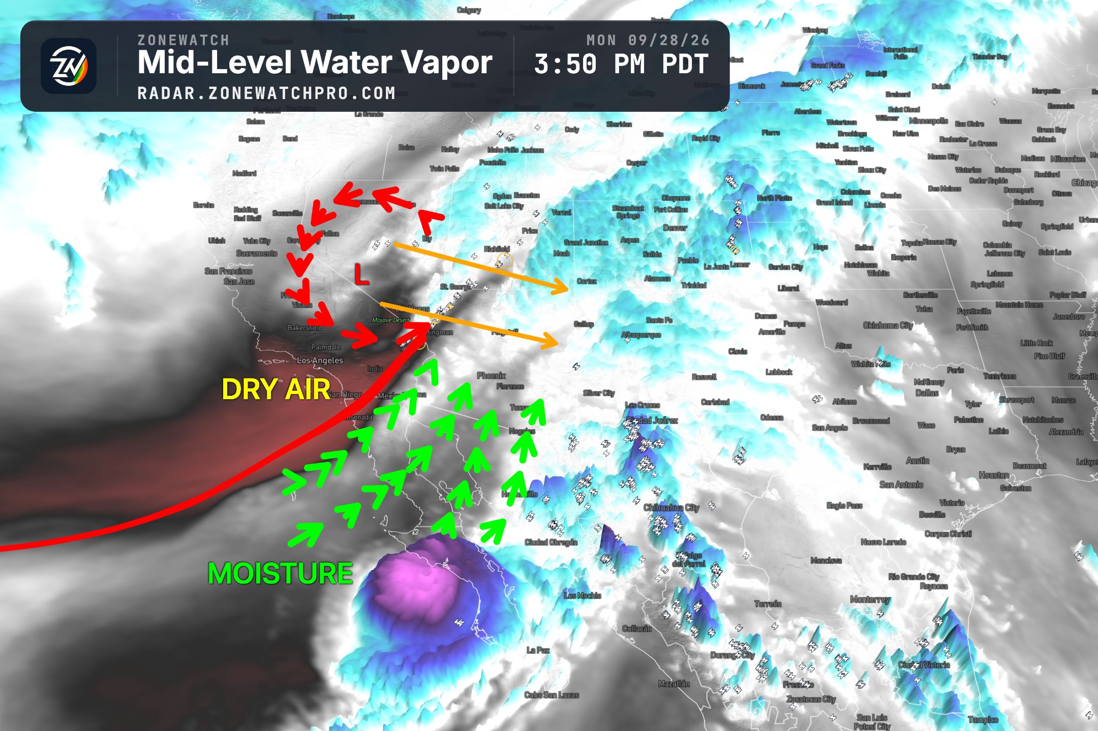
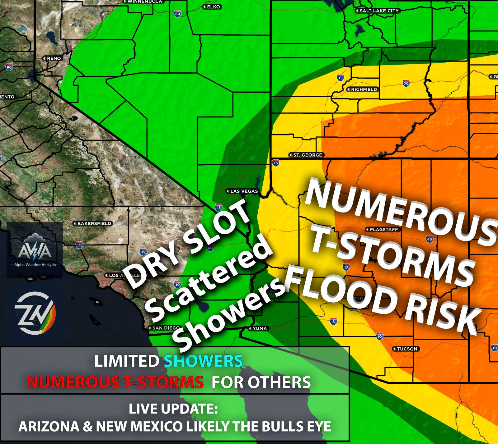
Back to back tropical systems continue to affect the Pacific, and moisture from a few of them has already been pulled northward, especially impacting Arizona and other parts of the Southwest outside Southern California. Keep in mind, it is far too early to assume this is the pattern we will see this winter… Let’s get into the juicy details…
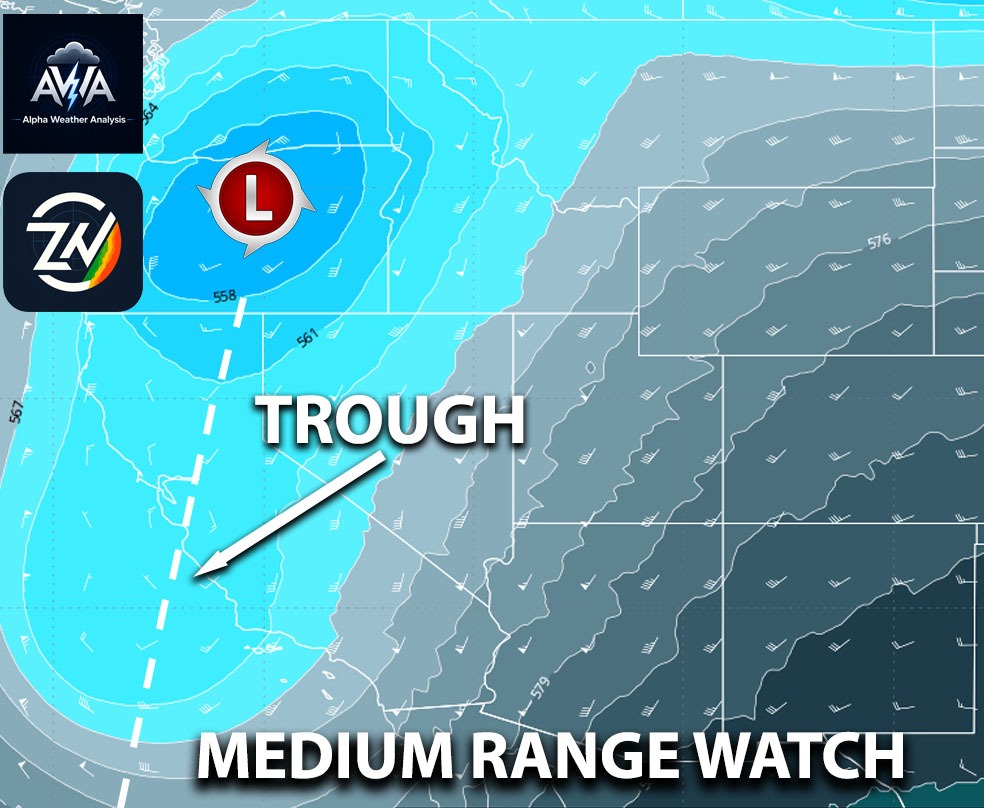
This can shift the placement of ridges and troughs while strengthening and extending the subtropical jet farther east. I’ll stop there before this gets too long and jump into the main discussion. If that configuration holds through winter, it could create more opportunities for Pacific storms to reach the Southwest. However, an exceptionally warm ocean does not automatically translate into an exceptionally wet winter for every location (we really need to remember that). The atmosphere has to respond in a way that actually brings those storms inland, and that is where the details become important.
The negative Pacific Decadal Oscillation, or negative PDO, is one complication I would not dismiss. Its pattern of relatively cooler water near the West Coast and warmer water farther into the North Pacific can accompany higher pressure over the North Pacific, potentially making it harder to establish a consistent storm track into the Southwest. But the idea that a negative PDO automatically cancels out El Niño is too simple. The PDO also reflects what the atmosphere has already been doing, along with heat stored in the ocean and influences from the tropics.
A powerful El Niño can change that background by reorganizing pressure, winds, evaporation, and ocean mixing across the North Pacific. In other words, the tropical forcing can help reshape the same ocean pattern that initially appears unfavorable. That is why a historic event could potentially outweigh the negative PDO influence without needing the index to turn positive first.
The atmosphere may change faster than the ocean loses its previous temperature pattern. What I would pay closer attention to is whether persistent eastern Pacific thunderstorm activity supports an extended jet and repeated offshore troughs, or whether ridging keeps interrupting that setup. There is no specific El Niño strength that guarantees one outcome, but the −PDO alone is not enough to write off a wet winter.
For Southern California and much of Arizona, a favorable setup could bring repeated rounds of rain as Pacific systems move across the coast and into the deserts. Southern Nevada could also benefit, although the exact track would determine how much moisture reaches inland locations. Farther north across Nevada, the connection between El Niño and a wet winter becomes less dependable. If storms arrive close together, the concern shifts from simply getting beneficial rain to increasing runoff and flooding as soils become saturated.
Mountain snowfall would depend heavily on temperatures during each event, since more precipitation does not necessarily mean more snow at every elevation. For Washington, Oregon, and parts of Idaho, the concern is somewhat different. El Niño often favors warmer winter conditions and less reliable snow accumulation, especially where temperatures frequently sit near freezing. That does not mean the Pacific Northwest will avoid major storms or flooding. Strong atmospheric rivers can still reach the region, and even a winter with disappointing snowpack can produce significant rainfall. The Northwest and Southwest will not necessarily experience opposite conditions during every part of the season.
2026-27 El Niño Potential Outcome:
My take is that I am leaning toward a wetter winter across the Southwest and southern portions of the United States, with the potential for a considerably wetter outcome than 2015–16, particularly in Southern California and Arizona. That is my interpretation of the developing pattern, rather than a settled forecast. The eastern concentration of warmth gives me a reason to question using 2015 - 2016 as the main comparison, but that event was already exceptionally strong, and its rainfall outcome involved more than El Niño strength alone. When looking at the entire year already, its nothing like 2015 super El Niño…
Likely Be a Swing Back and Forth Between Wet & Dry:
The persistence of eastern Pacific warming and the location of tropical heating made a difference. As we move farther into October and through November, the evolving circulation should help clarify whether this year is taking a different path. Will California get something comparable to 1997–98, including severe flooding?
I am not ready to make that call yet. My working hypothesis is a more mixed pattern, with swings between ridging and Pacific storms rather than an uninterrupted stretch of wet weather.
Based on the overall setup between the negative PDO and a potentially historic, powerful El Niño centered in the eastern Pacific, we could see the pattern swing back and forth. When a Pacific system moves in and the subtropical jet dips south, we could get decent to substantial rainfall.
However, periods of blocking could also develop throughout the winter, with some setups bringing Santa Ana winds to Southern California. Honestly, I would love to be wrong and get slammed by nonstop Pacific storm systems with plenty of moisture aloft.
If those storms tap into deep moisture and reach the California coast, including Southern California, some could deliver heavy rainfall despite dry breaks between systems. That scenario remains uncertain, and El Niño alone cannot establish how many atmospheric rivers will arrive or where they will make landfall. A season with repeated pattern changes could still become very wet if a few storms deliver enough precipitation.
TLDR: A potentially powerful El Niño centered in the eastern Pacific could favor a wetter 2026–27 winter across Southern California, Arizona, and southern Nevada, but extreme rainfall projections deserve caution. My current outlook favors swings between Pacific storms capable of producing substantial rain and flooding, and periods of blocking that could bring dry weather and Santa Ana winds. The negative PDO complicates the setup but does not automatically cancel El Niño’s influence. Meanwhile, the Pacific Northwest could face warmer conditions and less reliable mountain snow, while still experiencing major storms. A wetter outcome than 2015–16 is possible for the Southwest, but a repeat of 1997–98 is far from certain, and the evolving October and November pattern should help clarify the outlook. Periods of blocking could also develop throughout the winter back and forth between Pacific storm systems.
Expect a major update around November, or sooner if the pattern becomes clearer. In the meantime, rapid updates will continue in AWA Insiders, covering how the overall situation is evolving.