
Overall Discussion:
A potentially significant storm pattern is taking shape across the western United States from Halloween through November 5th at least, as a strengthening Pacific jet stream interacts with multiple disturbances and a possible atmospheric river connection. A concentrated plume of subtropical moisture could bring several rounds of widespread rainfall, mountain snow, gusty winds and thunderstorms, with California, Arizona and the Four Corners region showing some of the strongest precipitation signals as the moisture corridor shifts across the West. When we mean a complex setup with a very strong storm pattern, this is one of them…
Overall For California Especially Southern CA
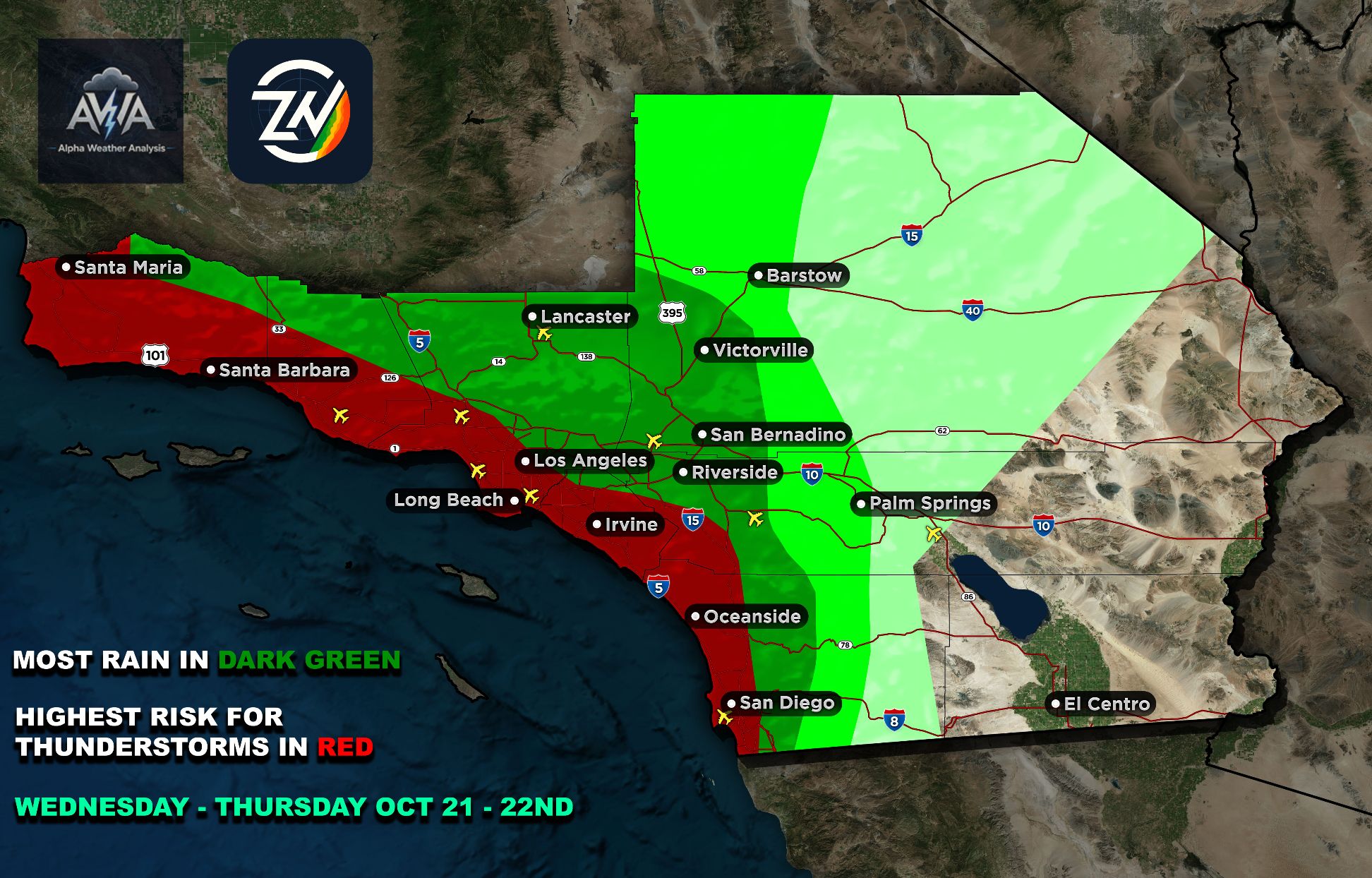
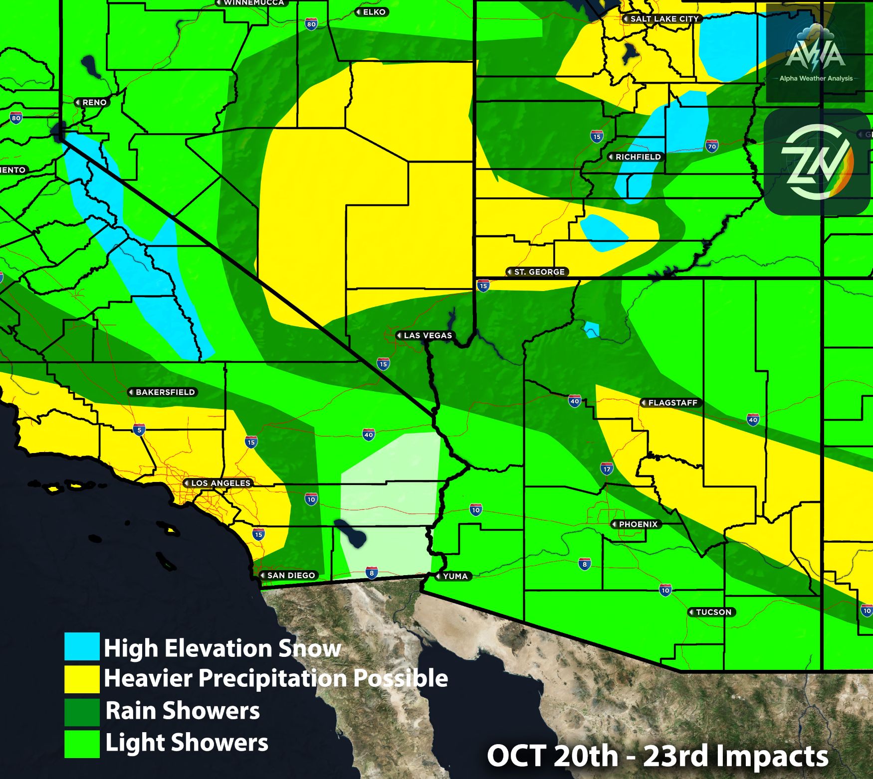
California is showing widespread rainfall potential, with Northern and Central California generally receiving 0.20 to 1.40 inches, while Southern California could see approximately 0.70 to 2.10 inches, with higher amounts favored across Los Angeles, Orange County, the Inland Empire and San Diego County, especially inland valleys, foothills and mountains.
The combination of increasing moisture, approaching low pressure disturbances and stronger upper level winds could support periods of moderate to heavy rainfall, localized flooding and thunderstorm development, particularly across Central and Southern California during the earlier portion of the event.
Overall Setup For Arizona
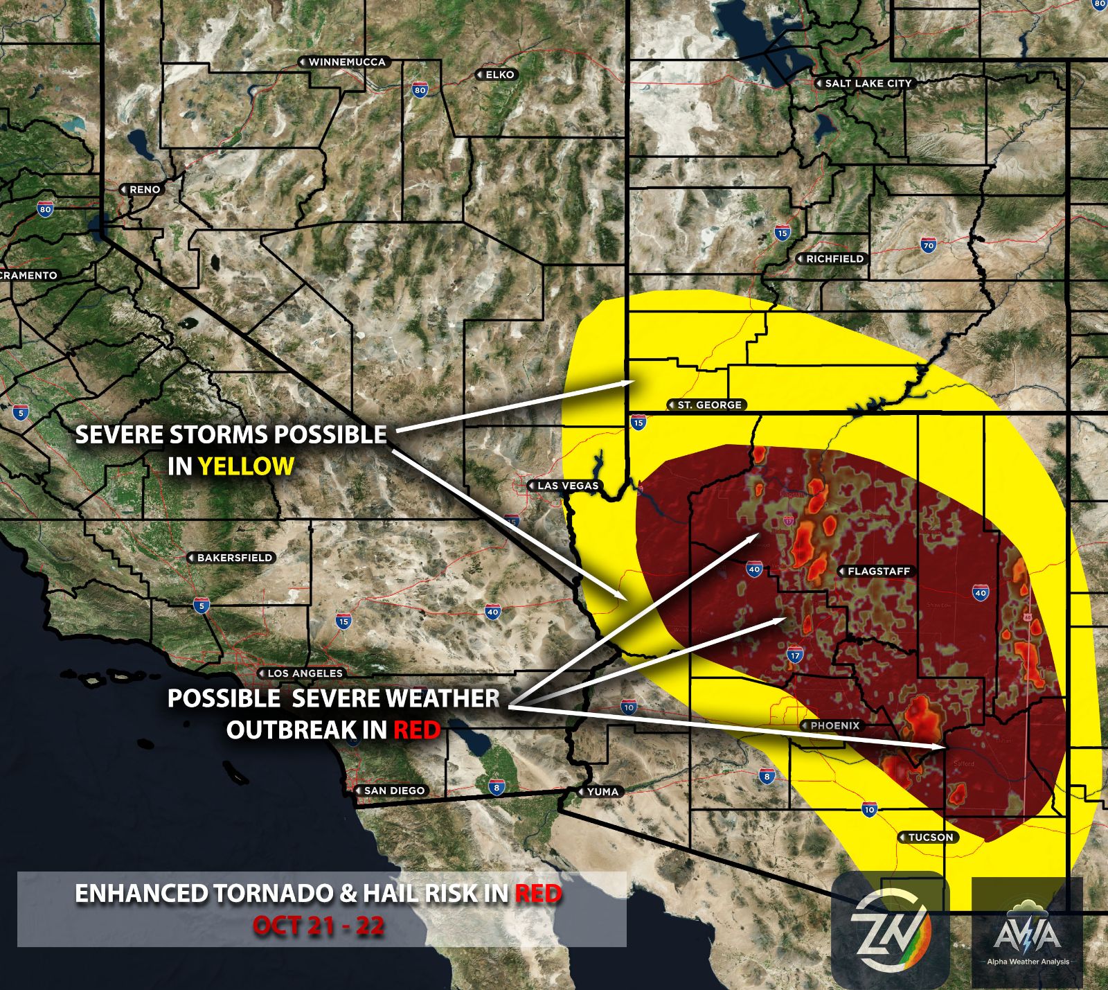
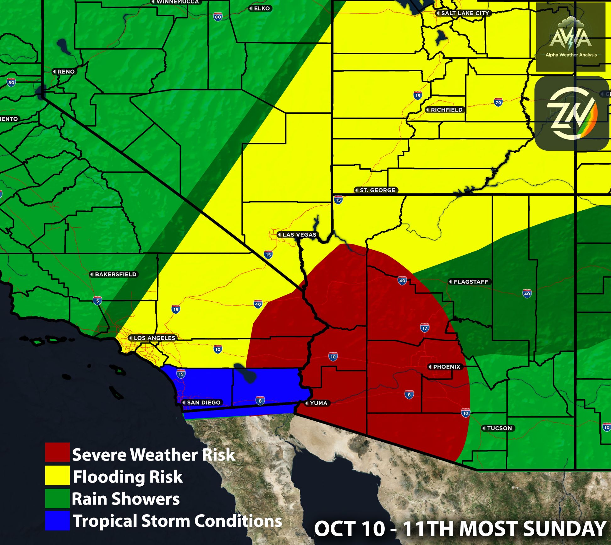
Arizona continues to stand out as one of the more significant areas of concern, with widespread rainfall totals generally ranging from 0.90 to 3.00 inches, locally higher across favorable mountain terrain, particularly around Prescott, Flagstaff, the Mogollon Rim and the Phoenix metropolitan area. Given the recent active weather across the state, additional heavy precipitation could increase flash flooding concerns, while sufficient atmospheric instability combined with stronger wind shear and upper level forcing could support organized thunderstorms capable of producing intense downpours, frequent lightning, gusty winds and potentially isolated severe storms as well.
Nevada, Utah, Colorado and Idaho are also showing meaningful precipitation signals, with amounts generally ranging from 0.10 to 1.90 inches, with higher accumulations favored across portions of Utah, southwestern Colorado, southeastern Idaho and southern Nevada, where localized flooding and mountain snow could become concerns.
Farther north, Oregon, Washington, Montana and Wyoming are generally showing 0.15 to 1.40 inches, locally higher across favorable terrain, as additional Pacific disturbances bring periods of rainfall, stronger winds and potentially hazardous mountain travel conditions into early November.
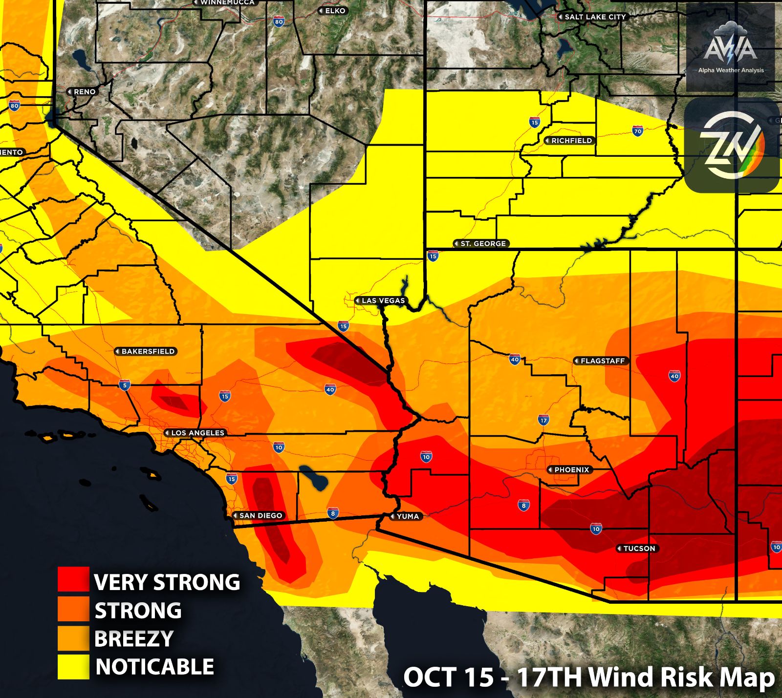
One of the more interesting aspects of this developing pattern is the strength and positioning of the Pacific jet stream, which could enhance atmospheric lift as embedded disturbances move inland, especially where favorable jet streak dynamics create upper level divergence and encourage rising air.
If sufficient moisture, instability and colder air aloft overlap with the stronger wind fields, the environment could support more organized thunderstorms and locally severe weather potential, including strong wind gusts and hail, although the placement and magnitude of these risks remain uncertain and will be monitored for changes.
Overall, the greatest flooding concerns remain focused across northern and central Arizona, the Phoenix metropolitan area, Southern California's inland valleys and foothills, Utah and the Four Corners region, with additional mountain snow and gusty winds possible across higher elevations of the West.
The potential atmospheric river connection, strong jet stream dynamics and multiple rounds of precipitation make this an evolving weather pattern worth watching closely, with timing, rainfall intensity and thunderstorm potential subject to change as Halloween approaches.
Stay tuned for more updates. Should you need more details on rainfall for your specific microzones and risk maps/outlooks, please check out AWA Insiders.