
Timing: Roughly mid-November through late November and potentially beyond.
As soon as Nov 16 through Nov 23rd and beyond for powerful storm systems to glide the Jet Stream into the Pacific West Coast...
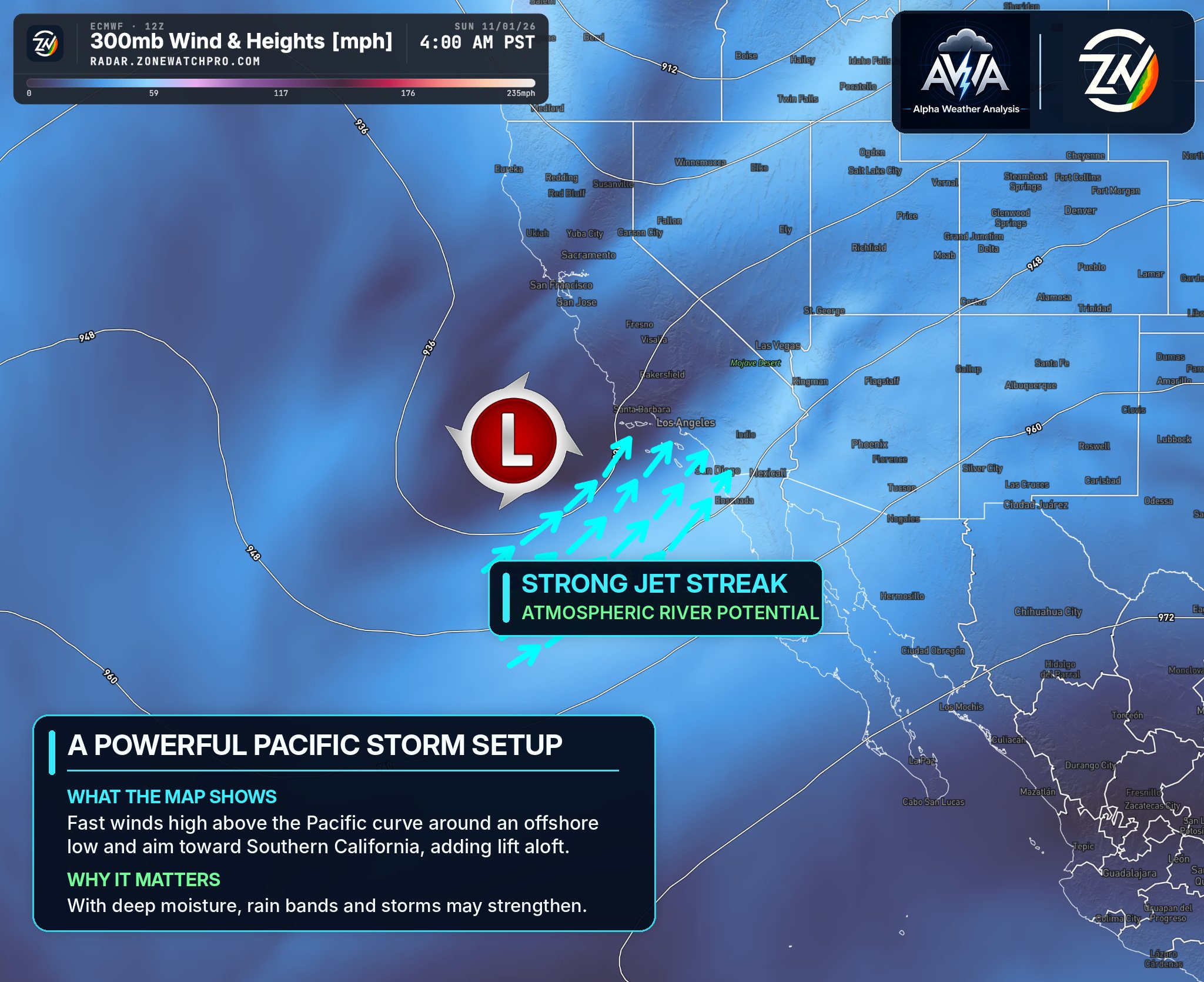
A very active weather pattern is beginning to take shape across the Pacific West Coast, with increasing agreement among forecast guidance suggesting a prolonged period of powerful storm systems. The Pacific Northwest is expected to experience the initial impacts before the focus gradually shifts south toward California and the Southwest. The jet stream could become increasingly favorable for directing multiple potent storm systems into California, bringing the potential for significant rainfall, mountain snowfall, strong winds, and flooding. Unfortunately, surrounding regions such as AZ who already got too much are also under the threat.
One of our biggest concerns is the potential for back-to-back storms tapping into atmospheric rivers, allowing significant amounts of Pacific moisture to move inland. If multiple systems repeatedly impact the same locations, rainfall totals could become excessive, with localized extreme precipitation possible. While the overall pattern is becoming increasingly favorable for significant storm activity, forecast models still disagree on exactly where the heaviest precipitation will occur and how intense individual systems will become.
Precipitation Totals Seen (Maxed Out):
These are NOT FINAL Precipitation totals anticipated as they will likely increase for NBM (holding 100+ models) while ECMWF and single runs will consolidated as well. That being said, widespread to significant precipitation is on the table and with the warm trend, it could also bring severe storms (still too far out).
El Niño may play an important role in amplifying this pattern, although it is not the only contributing factor. As we have repeatedly emphasized, we are still relatively early in the wet season, particularly for Southern California, where the most active period typically occurs later in winter, especially January through March. The possibility of such an active pattern developing in November is worth paying close attention to, especially with the potential for repeated storms and limited recovery time between systems.
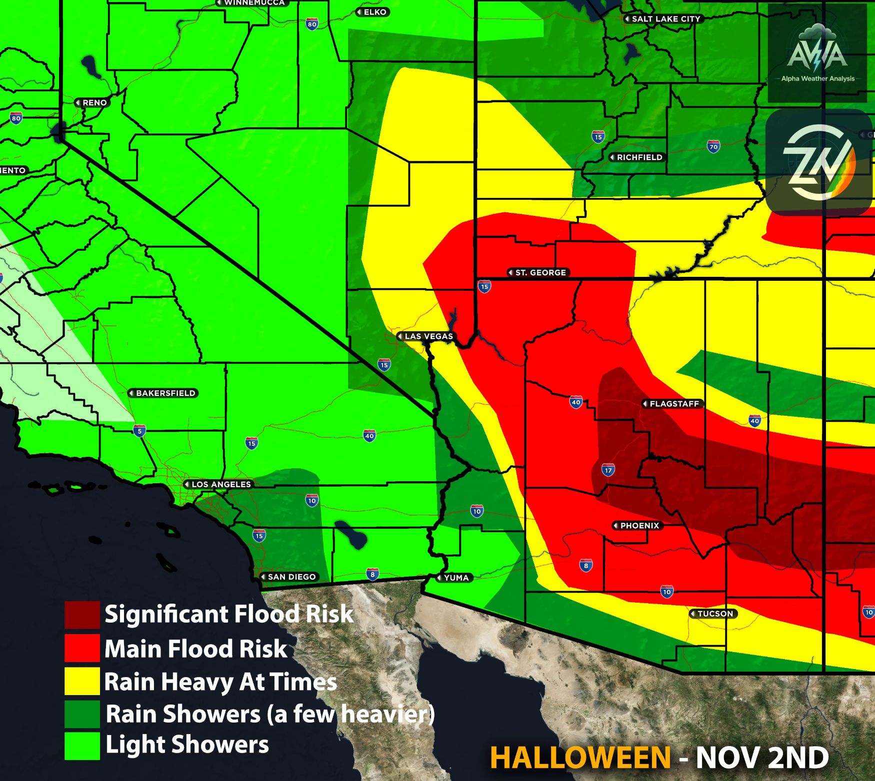
This is not about presenting a worst-case scenario. This is about being prepared. Recent significant flooding across portions of Arizona and New Mexico serves as an important reminder of how quickly conditions can deteriorate. Even areas that are not traditionally flood-prone can experience dangerous flooding when heavy rainfall overwhelms drainage systems. Anyone who lives across California and the Southwest should begin considering their preparedness plans, especially in locations vulnerable to flooding.
There is also another complex aspect of this evolving pattern involving El Niño, the jet stream, and potential polar vortex disruptions. These atmospheric interactions could influence weather patterns across North America as we move deeper into winter, which could further concentrate the impacts. We will discuss this in greater detail in a separate article.
For now, California remains one of the primary areas of concern as we approach mid-November. The overall pattern is becoming increasingly active, but the exact timing, storm intensity, precipitation totals, and areas facing the greatest impacts will be monitored for any changes. Stay tuned as we continue providing more detailed regional breakdowns.
TL;DR | What You Need to Know Summary:
A potentially significant and prolonged storm pattern is developing across the Pacific West Coast from roughly mid-November through late November and possibly beyond. The Pacific Northwest could experience the initial impacts before multiple powerful systems shift toward California and the Southwest. Atmospheric rivers may bring widespread heavy rainfall, some significant amounts, as a result an increasing risk of flooding, with localized extreme precipitation possible if storms repeatedly affect the same areas. El Niño may help influence this active pattern, which is developing relatively early in the wet season. While the exact locations and rainfall totals remain uncertain, the potential for a prolonged period of impactful weather is becoming an increasing concern, especially across California. Now is the time to prepare rather than wait until the strongest storms arrive. Stay tuned for more updates. AWA Insiders & other services will get a more indepth breakdown sub regional levels.