El Niño Quick Summary & Difference:
While many headlines have already been pushing this idea, I have intentionally held back from jumping on it without first looking deeper into the full body of data coming through. One model run, one impressive signal, or one set of long-range guidance is never enough for me to confidently make a statement like this.
What matters much more is consistency: repeated agreement across multiple model cycles, ensembles, large-scale atmospheric and oceanic signals, historical analogs, and the statistics behind those patterns. I want to see whether the signal continues to hold as new data comes in rather than simply reacting to the latest run because it happens to support an exciting headline.
That is especially important with long-range forecasting, where uncertainty naturally increases with time. As someone who is a scientist at heart, I would rather be more cautious early and wait for a stronger body of evidence than make a bold call simply because everyone else is already talking about it. When I do become confident enough to make that call, I want it to be because the overall evidence has earned that confidence.
Before jumping into the winter forecast, it is important to understand that this El Niño is developing very differently from 2015 to 2016. The current event is extremely east loaded, with August anomalies around +3.4°C (+6.1°F) in Niño 1+2, +2.5°C (+4.5°F) in Niño 3, and +1.8°C (+3.2°F) in Niño 3.4, while Niño 4 in the western Pacific was only around +0.1°C (+0.2°F).
By comparison, the 2015 event initially featured much stronger warmth farther west and across the central Pacific before eventually evolving into a powerful basin wide Super El Niño. This matters because the location of the warmest water helps control where tropical thunderstorms and convection become concentrated, which can alter the Pacific jet stream, storm track, and downstream weather across North America.
The current event is also supported by exceptional subsurface warmth, with some anomalies exceeding +10°C (+18°F) below the surface, while the atmosphere is increasingly responding through westerly wind anomalies, suppressed convection near Indonesia, and enhanced convection farther east. Therefore, even if 2026 to 2027 ultimately reaches a similar or greater magnitude than past Super El Niños, 2015 should not be treated as a direct analog because the structure, atmospheric forcing, and resulting winter impacts could be substantially different. There are also other ingredients that were not present in 2015 even in 1997 El Niño.
Why Should I Care & Do We Already Feel Impacts?
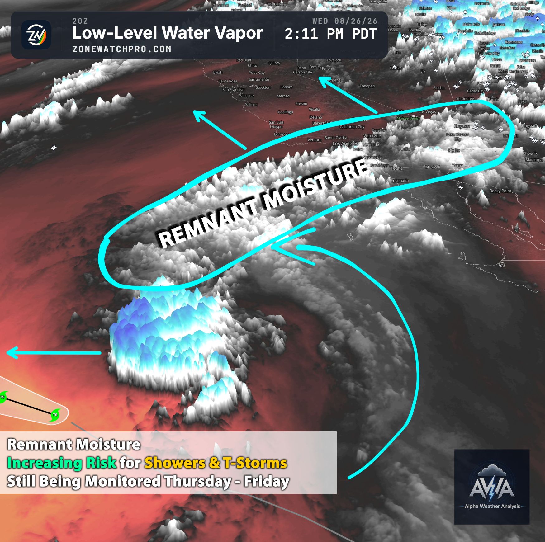
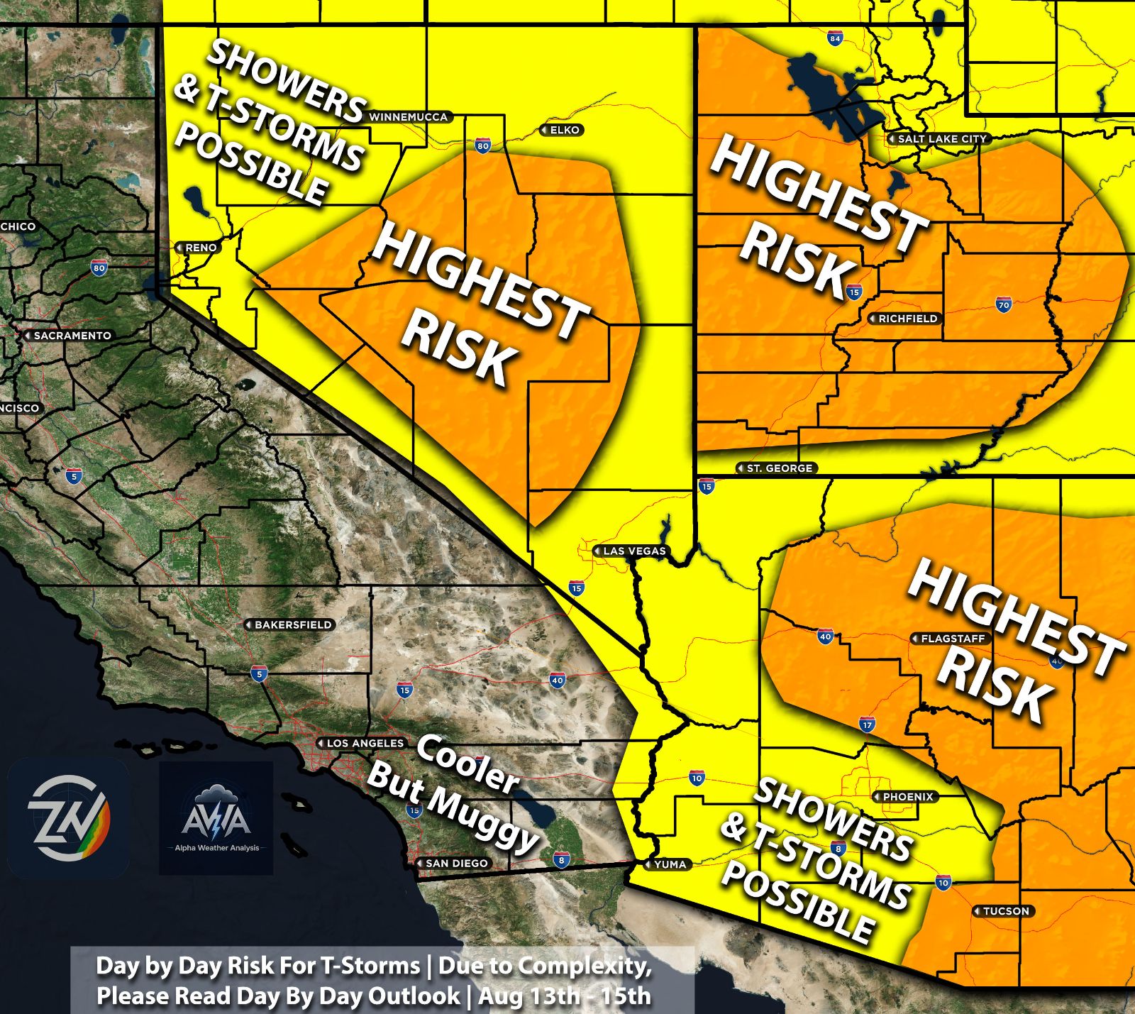
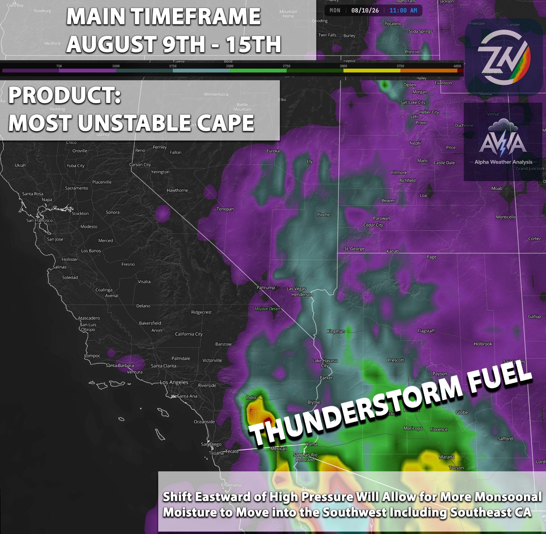
You’re already feeling the impacts from Arizona to Southern California, as well as in other portions of the West Coast region. Arizona has seen an enhanced flow of monsoonal activity, while Southern California has experienced a normal heatwave combined with extreme humidity levels that were higher than those in Florida. Why care? That could be a massive ingredient that could bring flooding to our region...
In fact, there were many days when these humidity levels were at record highs, with dew points reaching almost 80 degrees in the Los Angeles area locally, combined with triple digit temperatures. We will go into more detail on that in the next short to medium term outlook separate from this one.
This is just a taste of how extreme to historic levels of El Niño are expected to influence the Southwest region, if not the globe (though we focus on the West Coast). Does it guarantee catastrophic flooding or disaster? No… but it won't take much.
Pattern Flip Incoming & El Niño Influence At Extreme Levels
We measure El Niño in different ways, but mostly in the Niño 3.4 or center area, which has now reached +2.0°C (+3.6°F). This classifies it as a Strong El Niño, and it is rapidly reaching "Super" levels. Continuous agreement over many months now pulls expectations toward +3.5°C (+6.3°F) and above, which is off the charts.
This raises the cap and the barrier for abnormal weather events across the globe. Look at Hawaii as a perfect example, with multiple tropical storms hitting it and feet of rainfall being measured with each one... this is not normal.
Winter Forecast for the West Coast Long Range:
A split jet stream is likely, with a very moist subtropical jet just south of our area in Southern California. This alone would allow systems to impact the California region. However, we now have a more interesting ingredient associated with this: warming sea surface temperatures (SST).
Even before El Niño began playing a role, we had warmer waters than normal across the Southern California Bight off the coast. While they were not as high in previous months, they have now reached temperatures that are significantly impacting our weather, going beyond simple heat. It has already made the area feel like Florida or other tropical regions.
This will definitely act as an extra bonus ingredient. If you combine that growing level of moisture with atmospheric rivers, and then add the normal moisture flow that comes with the upper level lows or troughs typical of this time of year, it will be very interesting to see the rainfall totals and the potential back to back training of storms.
Basically, a normal Pacific storm system could potentially dump historic or extreme amounts of rainfall in a short period of time, causing some very concerning flooding. Is this guaranteed? No... because we need one major component: an upper level low or trough (also called a Pacific storm system) to actually impact California. However, that isn’t uncommon, it’s a very normal cycle, so the ingredients present will be significant.
What’s even crazier is that this warmer water across Southern California, which is bringing the entire Southwest region more humidity and moisture to work with, is expected to keep warming, this time more sharply. Kelvin waves could potentially bring water temperatures near 80 degrees into the area. That will make it feel steamy and sticky, while providing a massive amount of moisture for any storm system to tap into.
All models also continue to agree on above average rainfall and an active rainy season in general, given the historic El Niño and the placement of the subtropical jet stream. However, because this event is off the charts, we have zero historical analogs to compare it to in a strictly scientific way.
But, a drought or dry period doesn’t seem likely given the vast amount of moisture available to work with. I would cautiously say that my bets and scientific reasoning lean toward a highly active period.
I am not stating that catastrophic flooding is guaranteed, but we should expect at least a normal rain season, likely leaning toward above average. That being said, with so much moisture to work with, the risk for flooding does significantly increase. The risk is present, so if you are in a flood prone area, just be prepared so that you do not panic if it occurs. If it doesn’t, at least you were prepared.
A medium term forecast outlook will also come out within a day or so, allowing us to see how we might transition into a more active period as the atmosphere becomes increasingly unstable over time. Whats next? Watching that subtropical jet stream dive into our area and lock in. Then, watching upper level lows ride it down into our area pulling in all that extreme levels of moisture into our region.
With those types of ingredients we could also see an increased risk for thunderstorms perhaps a few being strong to severe at times.
Summary TL;DR:
This El Niño is developing very differently from 2015 or any other one from the past, with the strongest ocean warming currently concentrated much farther east, exceptionally warm subsurface waters, and an increasingly strong atmospheric response. Niño 3.4 has already reached strong El Niño levels near +2.0°C (+3.6°F), with longer-range guidance continuing to suggest the potential for further strengthening. The Southwest is already seeing signs of the broader warm-water and moisture-rich pattern through increased humidity, monsoonal moisture, and unusually high dew points. Looking toward winter, the combination of El Niño, a potentially active subtropical jet, warmer-than-normal waters near Southern California, and abundant Pacific moisture favors at least a normal and potentially above-average wet season across California and portions of the Southwest. This does not guarantee catastrophic flooding, but it raises the ceiling for extreme rainfall events when Pacific storms, atmospheric rivers, or upper-level troughs move through. Because the structure of this event is unusual and lacks a perfect historical analog, confidence should come from continued agreement across models, ensembles, oceanic trends, and atmospheric signals rather than any single forecast run.