Discussion & Details:
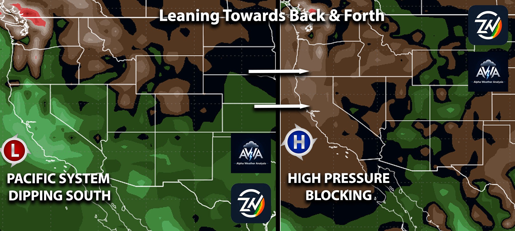
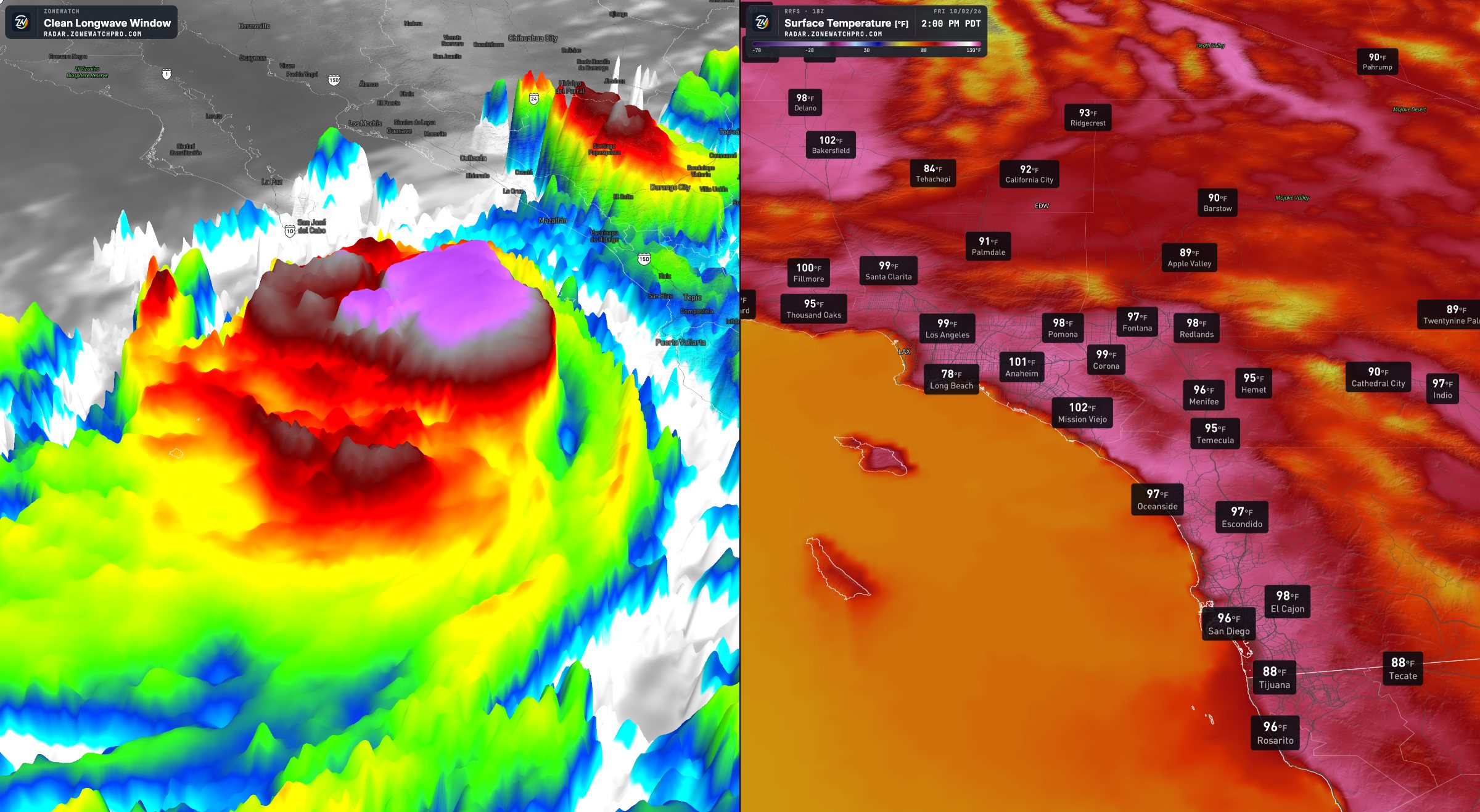
A massive high-pressure system settling over the Great Basin will push air toward the coast, creating a strong offshore wind event across Southern California and the broader Southwest from Thursday, October 15, through Saturday, October 17. As the air descends the mountain slopes, it will compress and heat up, pushing temperatures into the 80s and lower 90s across Southern California valleys and coasts. The strongest wind impacts will target desert zones, rugged mountain passes, and exposed wind-prone valleys.
Across Southern CA Region:
Eastern San Diego County and border areas face some of the wildest weather, with top gusts between 50 and 64 mph around Potrero and Campo. Coastal areas will also be more strong than normal with 30mph breezes (wind gusts) locally higher, while inland valleys and foothills see gusts pushing between 39 and 56 mph amid temperatures from the 80s to near 90 degrees. People living near mountain corridors should prepare for fallen tree branches, difficult driving, and isolated power disruptions. Definitely to be careful of when it comes to those stronger wind gusts.
Across Los Angeles and Orange Counties, breezy conditions will range from 25 to 30 mph near the coast to 44 mph along inland foothills, with isolated mountain peaks potentially seeing gusts of 50 to 70 mph. Ventura County and the Santa Clarita Valley will see gusts steadily increase, with spots like Simi Valley, Moorpark, and Thousand Oaks reaching up to 48 mph by Friday evening. People throughout these foothill valleys should watch for blowing debris and difficult travel conditions on open highways.
The high desert will take a serious beating, with Palmdale and Quartz Hill clocking ferocious gusts between 58 and 61 mph while other high desert people see cooler highs in the 70s. The western Inland Empire will also feel the strain, as gusts reaching 39 to 46 mph whip through Fontana, Ontario, and Rancho Cucamonga. Blowing dust, reduced visibility, and sudden crosswinds will make travel treacherous for people driving across these inland passes and desert freeways.
Across the Arizona and Surrounding Regions:
Across Arizona, increasing pressure differences will trigger howling winds, with Tucson gusts ramping up from 24 mph on Thursday to nearly 50 mph by Friday evening. Nearby towns like Sahuarita, Safford, and Sierra Vista will see gusts reach 49 to 53 mph, while the Phoenix area and northern high country face gusts between 25 and 39 mph. People traveling along southern desert corridors should anticipate blinding dust and hazardous driving conditions under warm afternoon skies.
Gusty desert winds will also sweep into neighboring states, bringing gusts around 37 mph to Las Vegas and pushing 40 to 50 mph across Albuquerque, Silver City, and Lordsburg. Temperatures will hover mostly in the 70s to lower 80s across these desert basins, with patchy blowing dust and turbulent highway conditions remaining the chief threats. For many people, this widespread and blustery pattern will likely drag on through at least Sunday before the atmosphere finally settles down.
Stay tuned for more updates. Insiders, there will be even a more in-depth breakdown which already has been updated since Sunday.