Forecast Discussion:
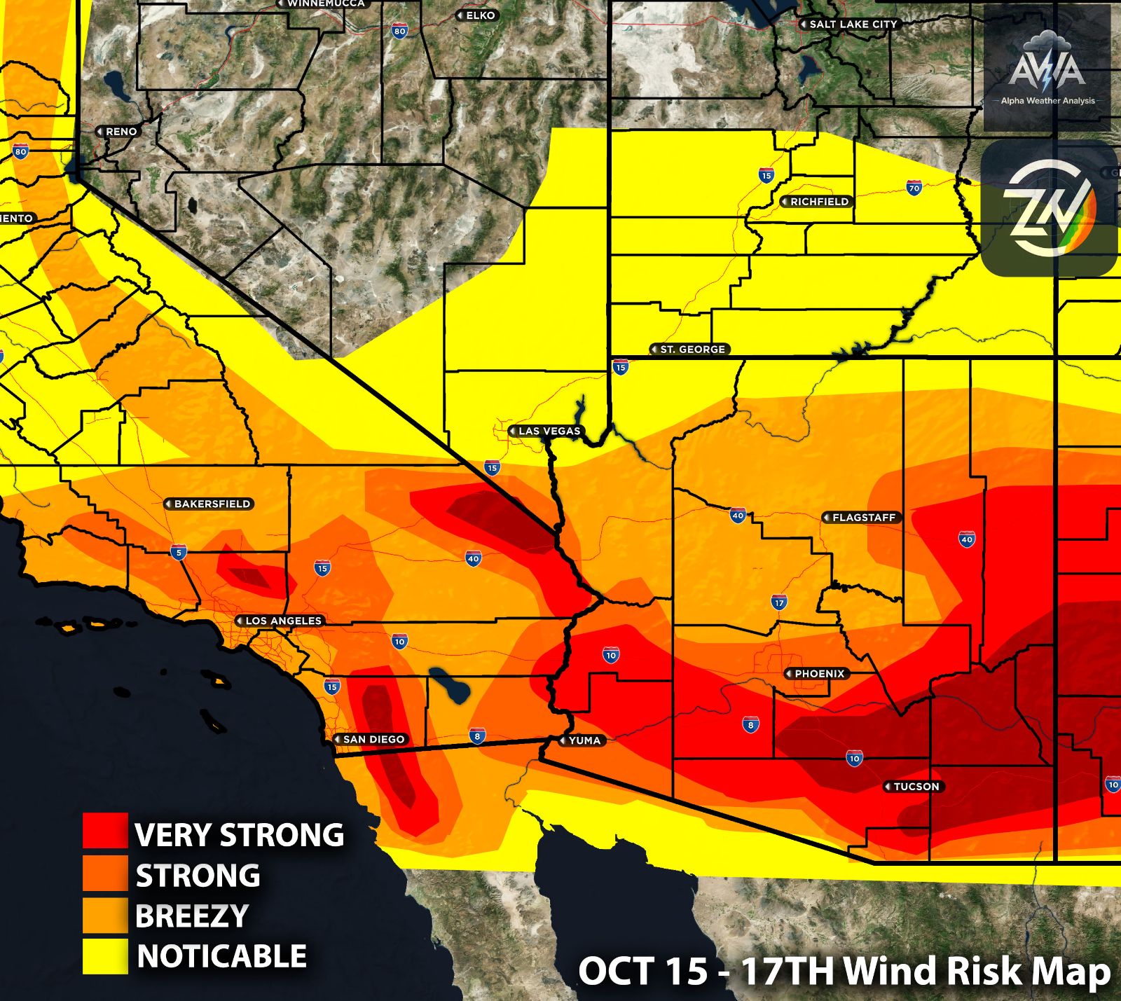
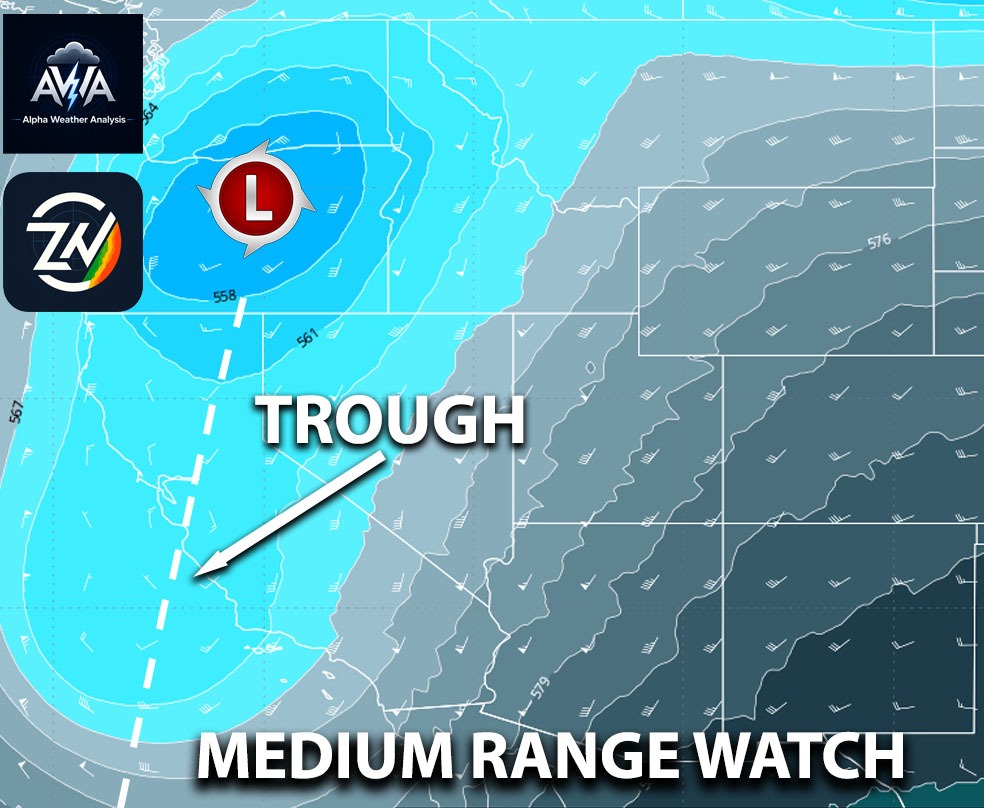
From bone dry conditions with strong gusty winds bringing fires short term into Southern CA towards a cooler and wetter pattern is likely across California and the interior Southwest during October 20 through 22nd timeframe (at least. The setup is an upper level trough from Alaska moving south along the West Coast is expected to develop into a low pressure (cut off) system near California before progressing inland. Confidence is higher in the overall pattern change than in exact rainfall totals, with Southern California’s most likely rain window centered on Wednesday and Thursday, October 21 and 22nd. The storm’s track will determine where the heaviest precipitation develops, but support for a meaningful change from the current heat and dry conditions continues to strengthen. We seriously need it to stop those fires and any new ones. Keep in mind knowing what you guys will ask, t-storm risk will be looked into later on should there be a risk.
Southern California:
SoCal you’re once the focus! This pattern has an increasing likelihood of widespread rain, with preliminary totals of 0.80 to 1.50 inch across many coastal and inland communities. Favored foothill locations could receive locally higher, while some areas receive less. Wet roadways, and increased runoff are the primary concerns. Localized flooding remains possible if heavier rain becomes concentrated especially for burn scars and flood prone regions but the risk isn’t high for now.
Central California:
You’re not the focus with this system. Central CA shows potential for 0.25 to 0.75 inches along much of the Central Coast, with locally higher amounts toward its southern end. Inland valleys generally show lighter totals of 0.10 to 0.25 inches. Across the covered portions of Northern California, western Oregon, and southwestern Washington, approximately 0.05 to 0.25 inches is indicated, with some communities receiving only a trace. These areas would mainly experience occasional wet roads, while greater runoff concerns remain farther south.
Southern Nevada:
Nevada could receive 0.25 to 0.75 inches, while parts of eastern Nevada could approach 0.75 to 1.25 inches; western areas generally look drier. Northern Utah shows potential for 1.00 to 1.75 inches, with approximately 0.50 to 1.25 inches across many central and southern locations, although some valleys could receive less. Periods of precipitation may continue beyond October 23, with snow possible at the highest elevations. Mountain totals represent liquid equivalent precipitation rather than rainfall alone.
Arizona:
Arizona generally show 0.10 to 0.50 inches, while northern and central uplands could receive 0.50 to 1.00 inch. Favored central mountain locations could reach 1.00 to 1.50 inches very locally. Rain chances increase toward the middle and latter portions of next week as the system approaches, bringing cooler temperatures and breezy conditions. The greatest runoff concerns would be near higher terrain and beneath repeated heavier showers, with rainfall amounts still dependent on the final storm track.
Looking Ahead:
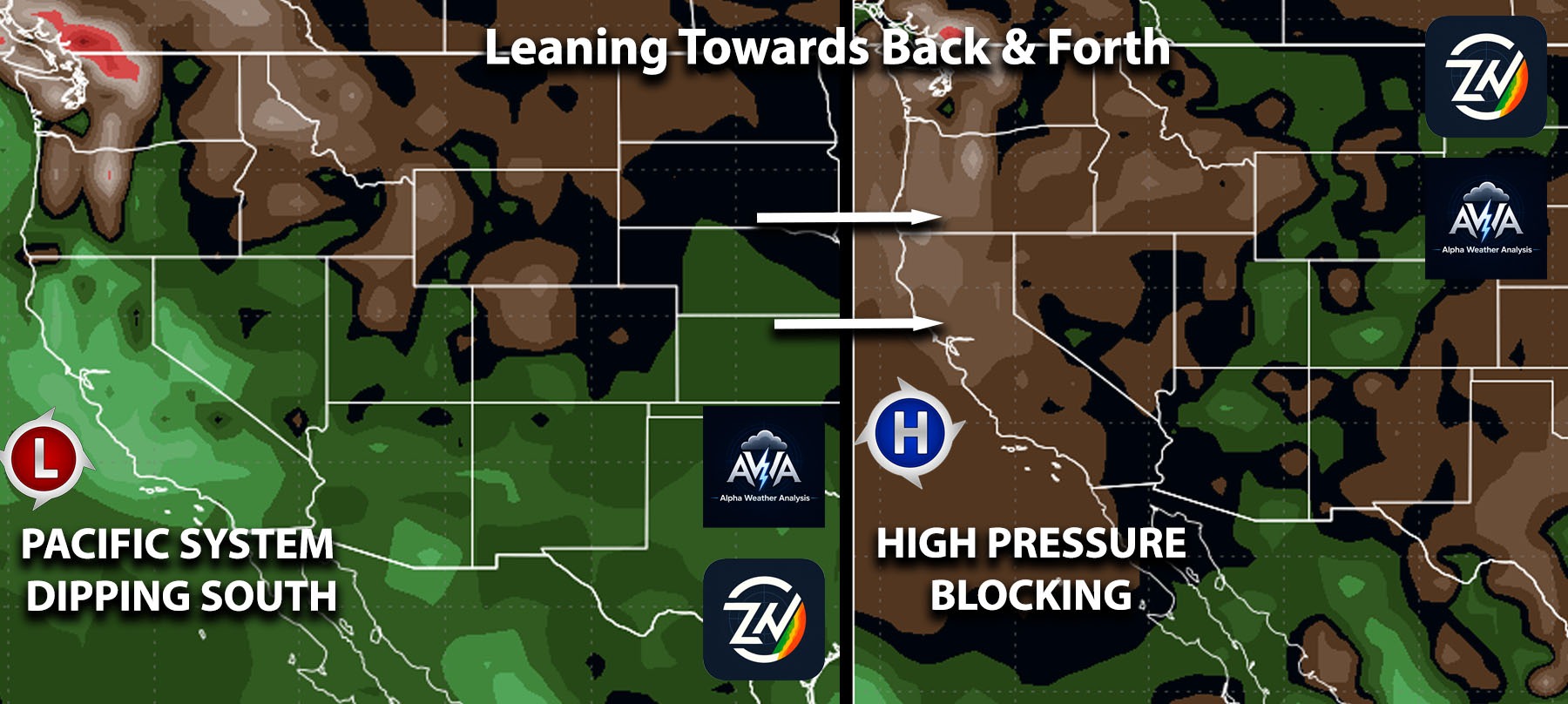
Guidance has yet to settle on a consistent pattern, with projections continuing to swing back and forth. However, the subtropical jet stream has dipped southward and appears likely to remain there through Halloween. This pattern also makes sense given the influence of the super El Niño, which I will discuss further in the next article. Stay tuned for more updates. **Insiders**, you will get a more in-depth update for rainfall, snowfall, expected winds & micro region risk outlooks and much more...