
A Stronger Severe Weather Setup Takes Shape
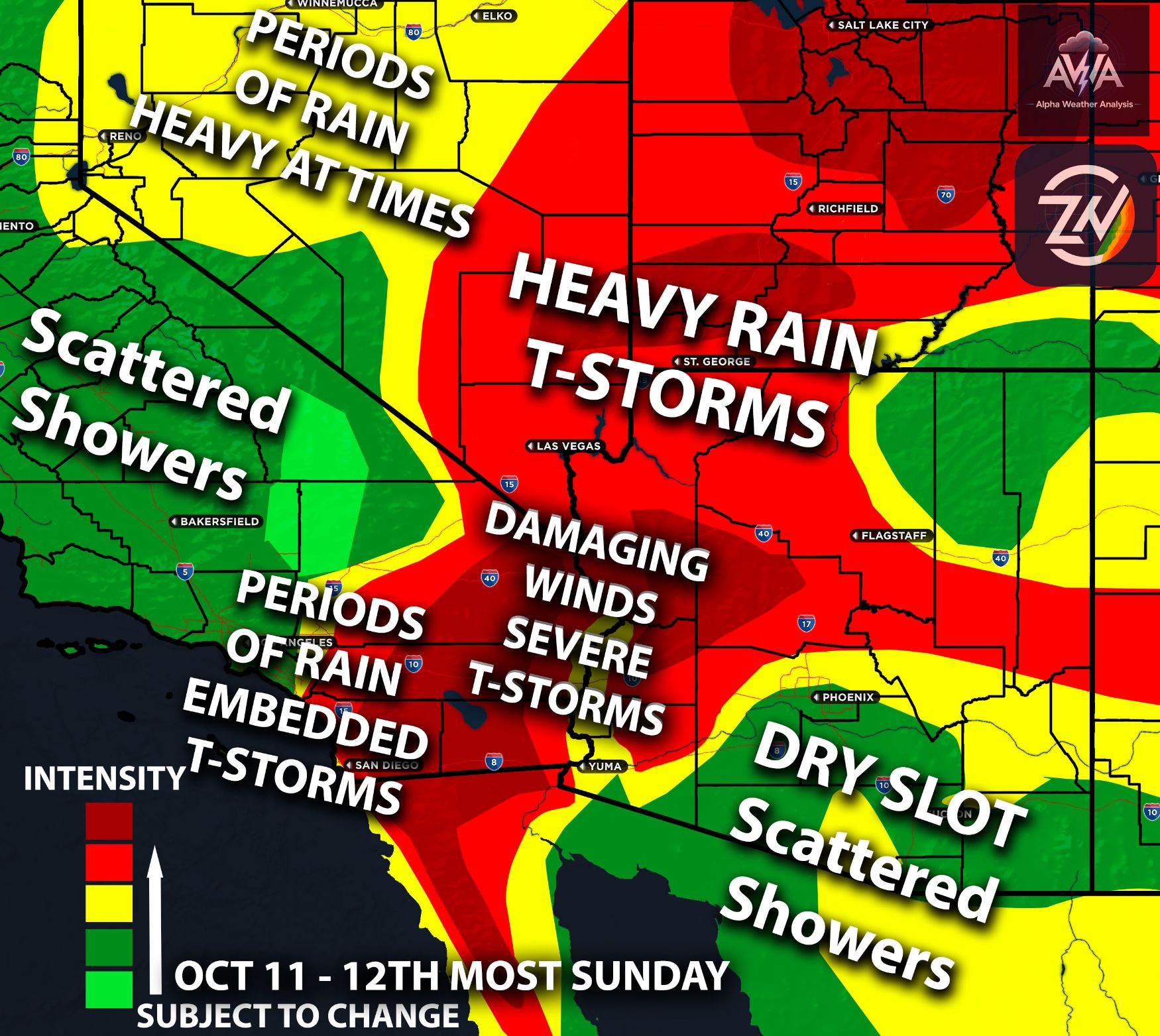
Arizona faces an organized severe thunderstorm risk Wednesday and Thursday as a Pacific low approaches, with a warm sector developing ahead of it. This, combined with enhanced wind shear and elevated instability (thunderstorm fuel), will create a setup favorable for organized severe thunderstorms. The main risks will include damaging winds, large hail, and even tornadoes with some of the stronger cells.
Once again, strong winds aloft will overlap with abundant moisture and instability. This combination supports the development of rotating storms, including supercells, rather than the usual t-storms you’re used to seeing. Keep in mind that storms can become severe very quickly and produce significant damage, so it is crucial to have a reliable way to receive alerts and stay informed. Now, let’s break it down section by section.
Wednesday Impact Towards Phoenix
Higher terrain east of Phoenix will become a focus for storm development Wednesday afternoon. Thunderstorms will then spread into the lower deserts Wednesday evening, with activity continuing overnight into Thursday morning. Phoenix sits within Wednesday’s elevated severe weather risk, while higher terrain farther east and north carries a much greater risk given the dynamics present.
Realistically, the Phoenix metro area isn’t expected to see the same organized and structured storms that areas farther north and east are anticipating. Your flooding risk is also right on the borderline, while moving just a bit farther north changes the picture significantly given the dynamics present. Nevertheless, rain with a few isolated t-storms will be possible across the region.
The Rim and White Mountains Deserve Attention
The eastern Mogollon Rim and White Mountains sit right in the severe weather risk area. Strong wind shear supports rotating thunderstorms across this part of Arizona.
The severity will depend partly on how much instability develops. That ingredient will be monitored for any changes. The difference between a bust and an outbreak.
Northern Arizona's forecast supports severe hail and damaging wind risks where stronger instability overlaps the shear. Stronger storms do also support a tornado risk which is included in the risk assessment.
North of Tucson Leads Wednesday's Southeastern Sever Risk
Areas north of Tucson have the greater severe thunderstorm risk within the southeastern Arizona forecast region Wednesday. Moist southerly flow will feed the approaching system. Thursday brings a more impactful heavy rainfall setup as the trough strengthens and turns inland. Pinal, Graham, and Greenlee Counties are the main southeastern flooding concerns.
Extensive clouds limit the Thursday severe weather environment by restricting heating. A severe storm risk still remains across much of southeastern Arizona. The effect of cloud cover on storm intensity will be monitored for any changes.
Understanding the Tornado and Hail Risks
The enhanced tornado risk deserves attention, although this does not mean tornado development is certain. Winds changing with height create an environment favorable for storm rotation, allowing stronger storms to potentially become supercellular.
Large hail and damaging wind gusts remain significant threats alongside the localized tornado risk. Keep in mind that a storm does not need to produce a tornado to become dangerous or cause significant damage. When you see a severe storm approaching your area, it is always best to take precautions and have a reliable way to receive alerts.
Flooding Adds Another Layer of Danger
Flooding remains the primary concern in the northern Arizona forecast even with severe storms in the picture. Repeated thunderstorms will increase runoff through Wednesday and Thursday.
Rainfall totals along and south of the Mogollon Rim range from 1.5 to 3 inches. Across the Navajo Nation, the forecast range is 1 to 2 inches. Flagstaff is also included in this flood risk given the excessive amounts of moisture to work with. Avoid flooded roads and keep away from washes during heavy rain. Lightning, hail, and poor visibility will add to the difficulty of traveling through stronger storms.
Thursday Is Still Part of the Severe Weather Window
Central Arizona's severe weather risk continues Thursday, especially during the morning. Do not treat Wednesday night's storms as the automatic end of the event. This risk will move eastward with time with another round for all hazards on the table.
Farther north, Thursday also brings daytime gusts of 30 to 40 mph outside thunderstorms. These background winds are separate from the damaging gust risk within severe cells. Storm activity will diminish as drier air spreads east later Thursday into Friday. Southeastern Arizona turns cooler than normal Friday into the weekend. The timing of the final storms will be monitored for any changes. Stay tuned for more updates as well. AWA we will break it down ever further into time impact etc…