
Overall Discussion
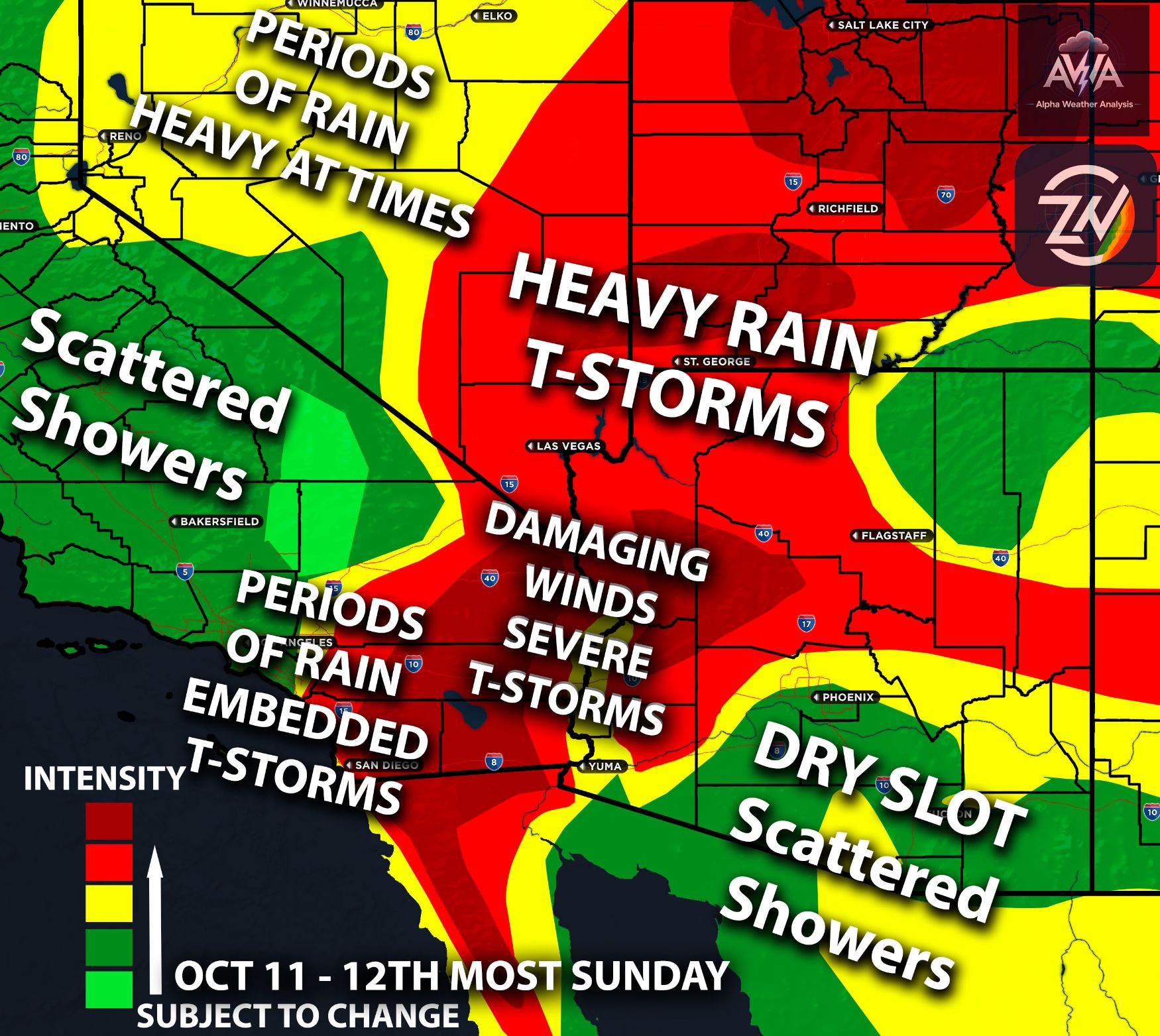
A potent low pressure system dropping south along the Pacific Coast will bring a cooler and wetter pattern to California this week. The main impacts will arrive Wednesday, October 21, and continue through Thursday, October 22. The system will slow offshore before turning inland. This will allow several rounds of rain to affect parts of the state.
Southern California will see a noticeable temperature drop as clouds and rain settle in. Mountain travel and coastal activities will also face changing conditions. The placement of the strongest showers remains the main detail to refine, and it will be monitored for any changes.
Stars off from the Central Coast
Rain will begin reaching the Central Coast late Tuesday night into Wednesday morning. Shower coverage will increase Wednesday as the low approaches the coast.
The Big Sur coastal waters carry a localized risk of rotating severe thunderstorm cells Wednesday. Stronger cells will bring gusty winds, lightning, and heavier downpours.
The Central Coast remains the main thunderstorm focus but really from central down to southern CA pose a threat for strong/severe storms. The Timber and Plaskett burn scars face a debris flow risk if intense rain falls over vulnerable slopes. The location and strength of those cells will be monitored for any changes.
Southern California Impacts:
Rain will spread across San Luis Obispo and Santa Barbara Counties Wednesday before becoming more established farther south. Wednesday night into Thursday morning brings the most active period across much of the Los Angeles and Ventura County forecast region.
Coastal areas, valleys, and favored south facing slopes have a broad rainfall range of around 1 to 2 inches. Repeated thunderstorms bring a risk of locally higher totals.
Runoff will increase quickly under the strongest downpours. Low spots and roads with poor drainage will be especially vulnerable. The heaviest rainfall corridor will be monitored for any changes. Keep in mind strong t-storms will easily bring those numbers higher as well.
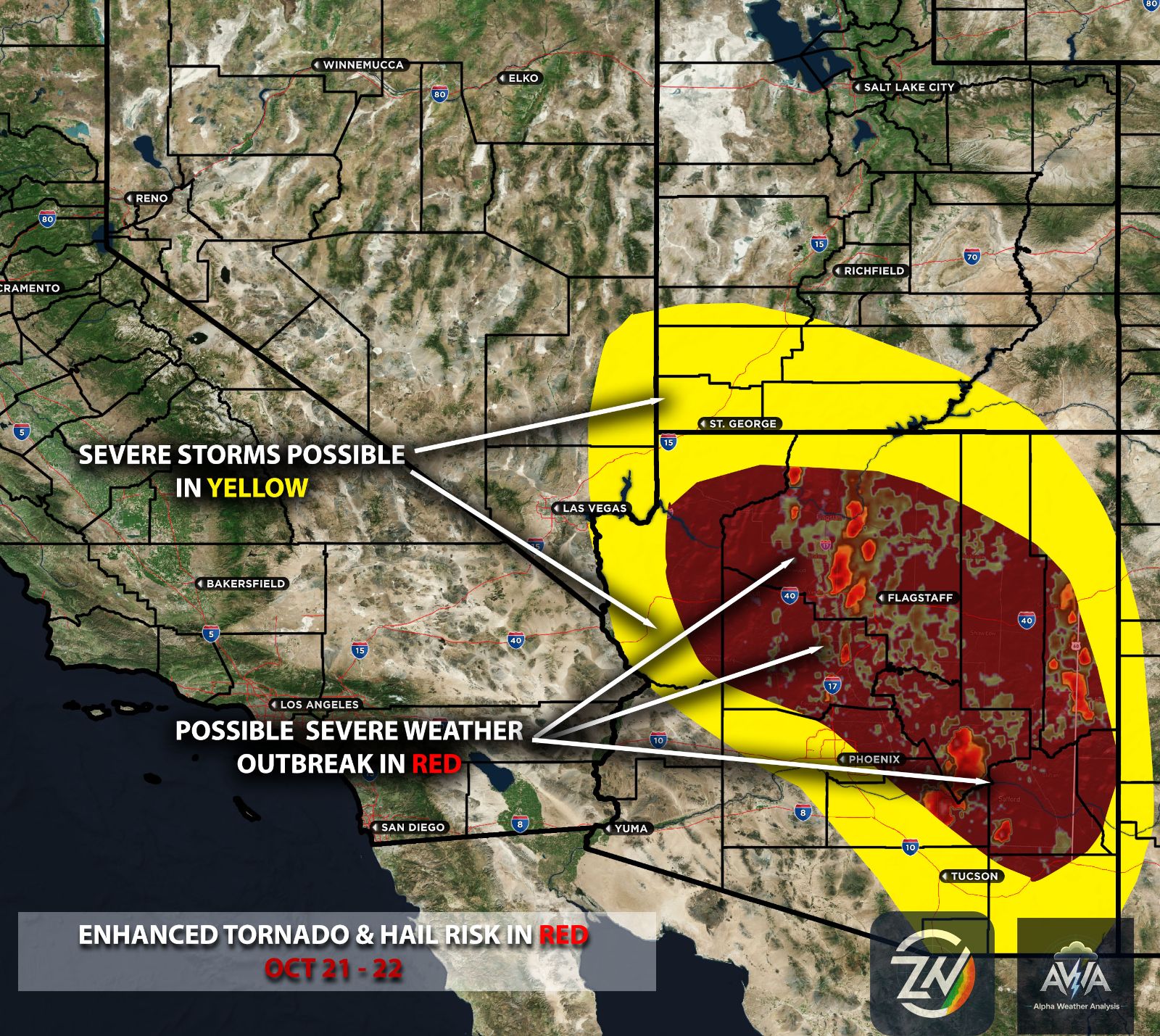
Due to the potent systems ingredients present and unusual strengthening of the jet stream and warm air advection ahead of it caused by the super El Niño, there will be a risk for severe thunderstorms mainly damaging winds, small hail in strongest cells and perhaps an isolated tornado or waterspout.
Orange County Through San Diego
Orange County and southwestern San Bernardino County will see rain spread inland Wednesday night into Thursday. Across the coast, valleys, and mountains of that region, forecast totals range from around 1 to 2 inches.
San Diego County has a broader range of roughly 0.50 to 1 inch, with the wetter focus toward the north. Late Wednesday night into Thursday also brings a thunderstorm risk. A few of these storms could be strong bringing gusty winds, small hail, and brief heavy rain.
Coastal and valley temperatures Thursday will generally stay in the 60s to around 70 degrees. The mountains will be substantially colder. Give yourself extra travel time as wet roads and reduced visibility develop. Take this system seriously and be more aware of your surroundings.
Sierra Passes Turn Wintry
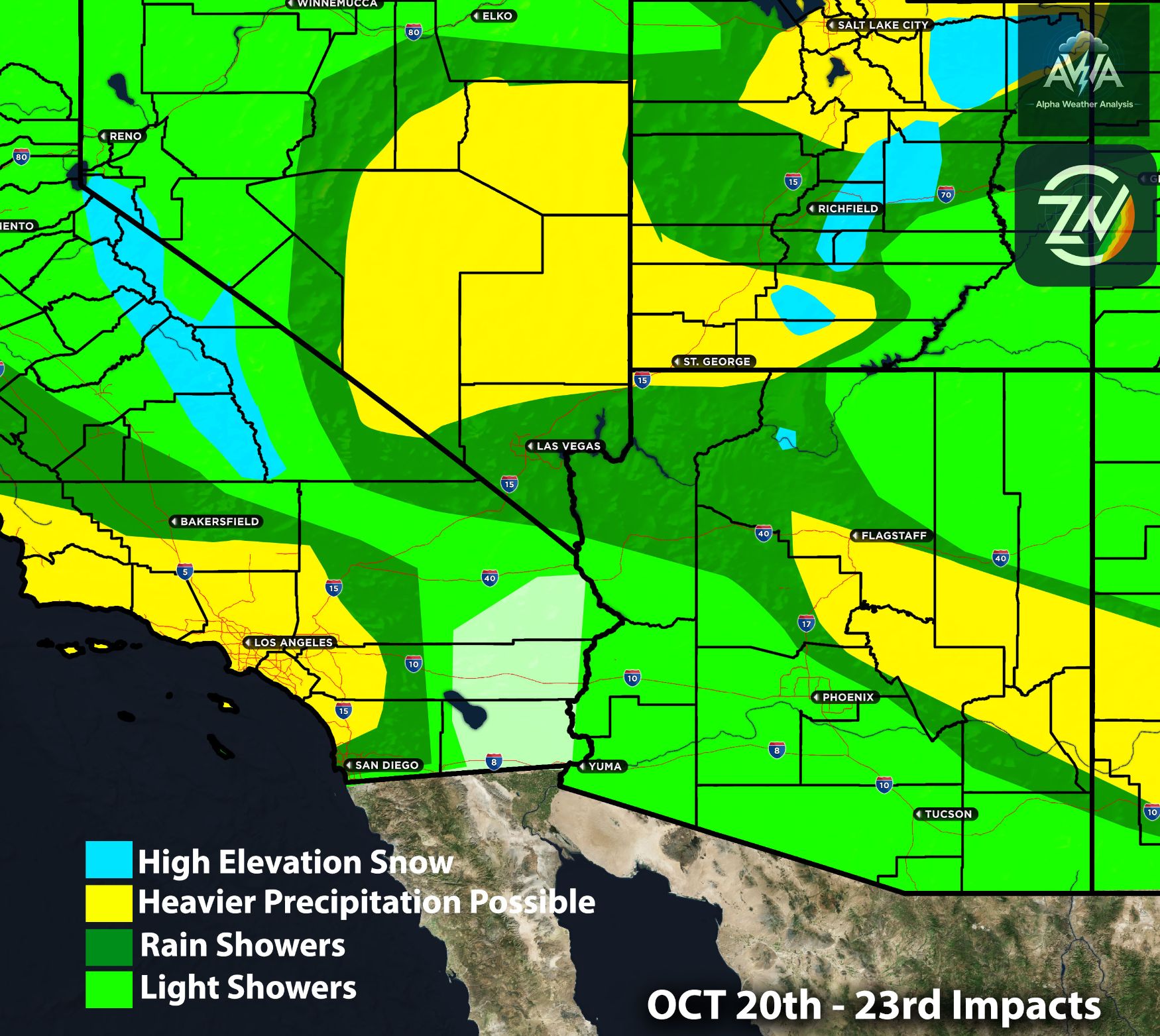
The higher Sierra will face a transition from rain to snow Wednesday night into Thursday. The main snow impacts favor elevations above roughly 8,000 to 8,500 feet.
Ebbetts, Tioga, Sonora, Carson, and Mount Rose are among the passes facing accumulation risks. Several inches of snow will create difficult conditions where snowfall overlaps colder road surfaces.
Most lower communities around Tahoe and the eastern Sierra will primarily receive rain. Persistent heavier bands across the broader Reno forecast region carry a localized rainfall risk of 1 to 2 inches. Check road status and carry winter supplies before traveling over the higher passes.
Stay tuned for more updates. Next article we will go over the very rare enhanced tornado & severe weather setup for AZ. AWA Insiders expect more timing updates for all risk types coming by this evening.