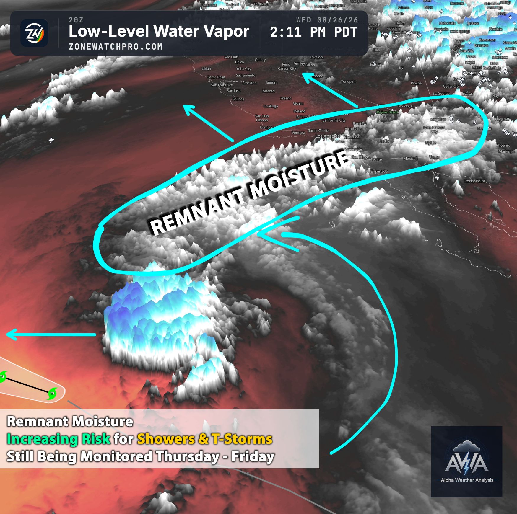
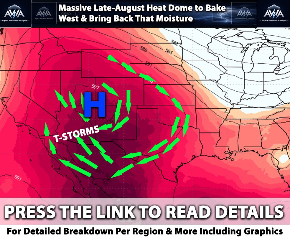
Overall agreement continues to show the bullseye for this event focused on Arizona, New Mexico, portions of southern Nevada, and Utah. Southern California is still anticipating a similar scenario as previously discussed.
While a couple of thunderstorms may be possible, overall rainfall will be significantly more limited, with chances increasing as you move eastward away from San Diego. This is mainly due to the positioning of the cutoff low and the deeper moisture being pulled farther east, largely outside of California. Timing looks to be from Sunday afternoon through at least Tuesday for some areas.
Across Arizona, deep tropical moisture will be pulled north ahead of a strong Pacific low. Northern Arizona could see heavy rain, strong thunderstorms, and flash flooding beginning as early as Sunday afternoon, with a two wave setup expected. Sunday looks to be on the lighter side, with mainly scattered showers, while Monday appears to be the more active day for convection across Arizona.
By Monday afternoon, plenty of lift from the approaching trough and embedded low pressure should support numerous thunderstorms across the state, with a few potentially becoming strong. Northern and southeastern Arizona currently look to have the greatest concentration of convection. However, thunderstorms will be possible almost anywhere across the state given the ingredients in place.
At the same time, very high moisture levels associated with remnant tropical moisture will increase the flooding threat. An elevated to moderate flooding risk may develop across much of Arizona, especially where repeated rounds of thunderstorms move over the same areas.
Las Vegas and surrounding states will also be impacted by this same setup, bringing periods of showers and thunderstorms across the region. Really, areas outside of Southern California will see most of the action, because Southern California just loves getting cut off by dry air aloft.
Stay tuned for additional updates, along with alerts and notices that will be issued to our AWA clients first.