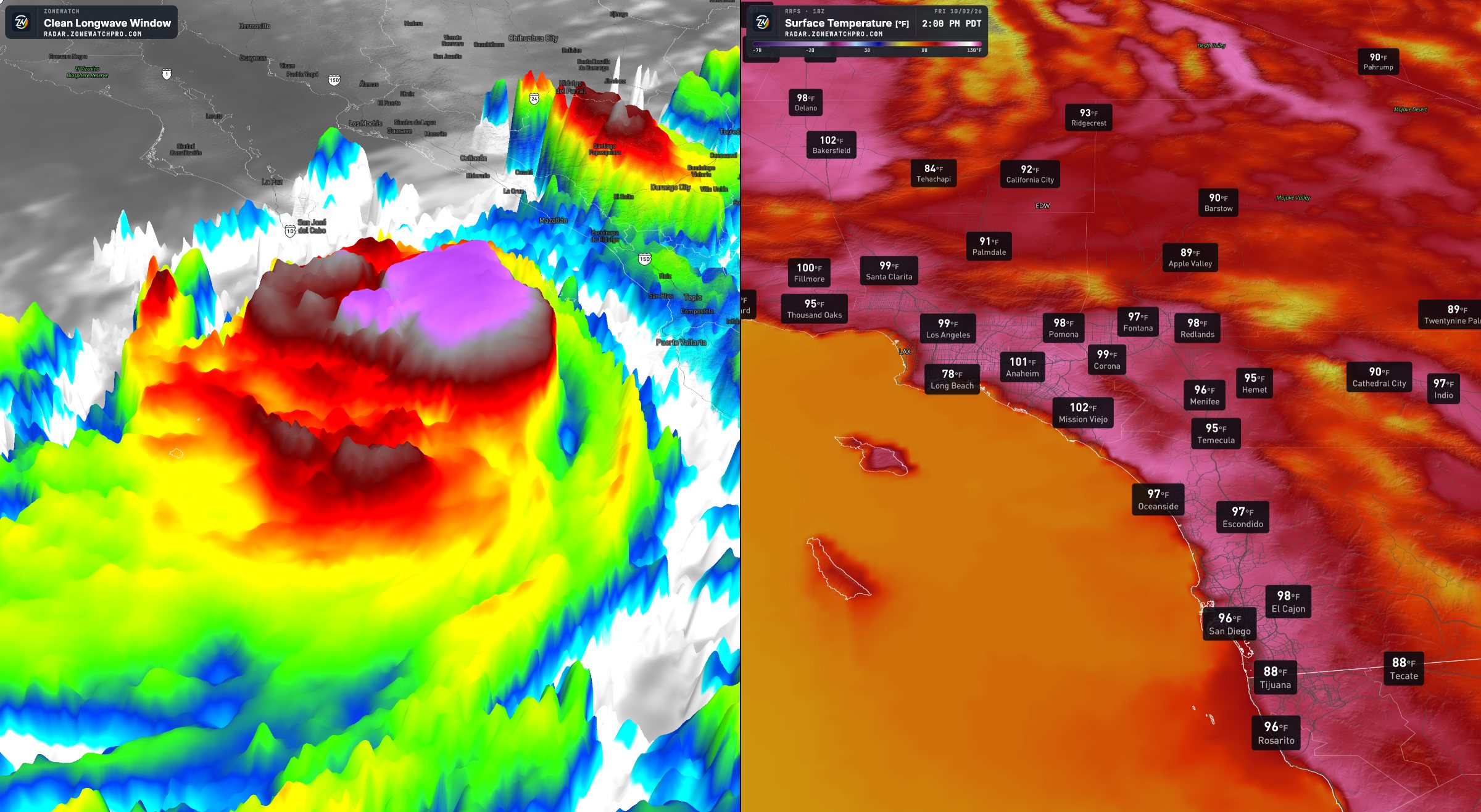
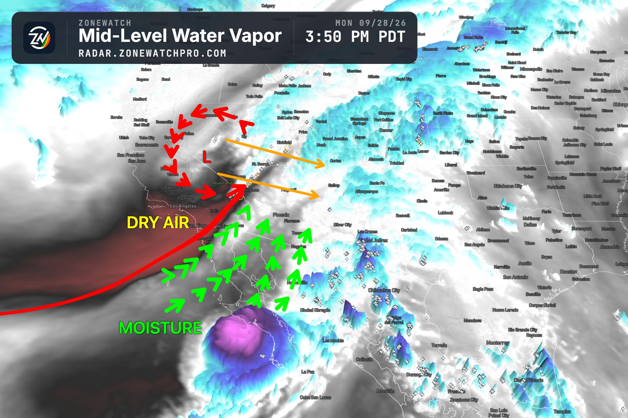
As discussed in the previous update, Tropical Storm Rachel has undergone another strengthening cycle, and conditions remain favorable for additional strengthening. Unusually warm sea surface temperatures and limited wind shear are supporting the storm’s organization as it approaches the region. If these conditions persist, Rachel could approach or reach Category 1 hurricane intensity before landfall, with maximum sustained winds near or above 74 mph at its center.
The main forecast challenge remains the exact track. Model guidance continues to show two primary scenarios: a more northwestward track toward San Diego or a farther south track into Baja California. A direct approach toward San Diego would substantially increase the local wind threat, while a landfall farther south would still bring strong gusts and the potential for tropical storm conditions to portions of Southern California. The track will determine where the strongest impacts occur, but impacts will extend well beyond the center. Let’s get into the details.
Strong Wind Gusts Expected Across the Southwest
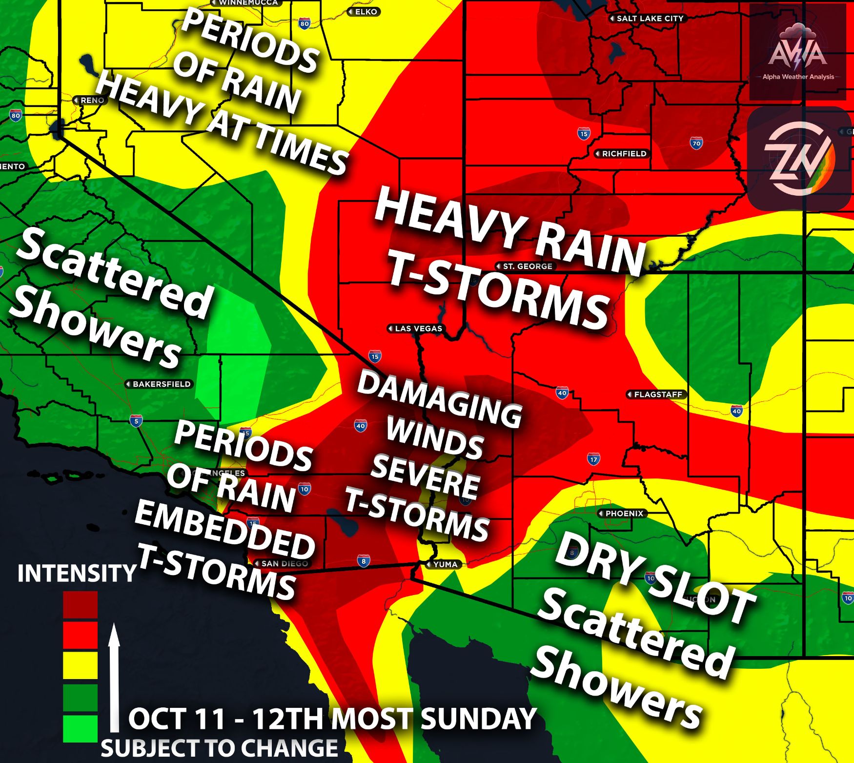
The wind forecast will continue to adjust as Rachel’s track becomes clearer. However, both scenarios support strong wind gusts, with localized damaging winds possible. The most important distinction is where the strongest winds become concentrated and how much of Rachel’s circulation remains intact as it approaches land.
If the core moves directly over or near San Diego, gusts could reach 55 to 65 mph, with isolated gusts of 70 mph or higher in the most exposed locations. If Rachel follows a farther south track, gusts would generally be closer to 35 to 45 mph across the affected areas, although isolated gusts approaching 65 mph would remain possible where terrain or stronger rainbands enhance the winds.
Winds of this strength can damage trees, bring down branches, cause power outages, and make travel difficult, especially for high profile vehicles. Conditions may also deteriorate quickly as stronger rainbands move through. Preparations should be completed before the strongest winds arrive.
Torrential Rainfall and Flooding Concerns
Heavy rainfall will be another major concern, with the potential for torrential downpours and localized totals exceeding the amounts shown on the maps below. Forecast rainfall maps provide a useful overview, but they can miss narrow corridors where intense rainbands repeatedly move across the same communities.
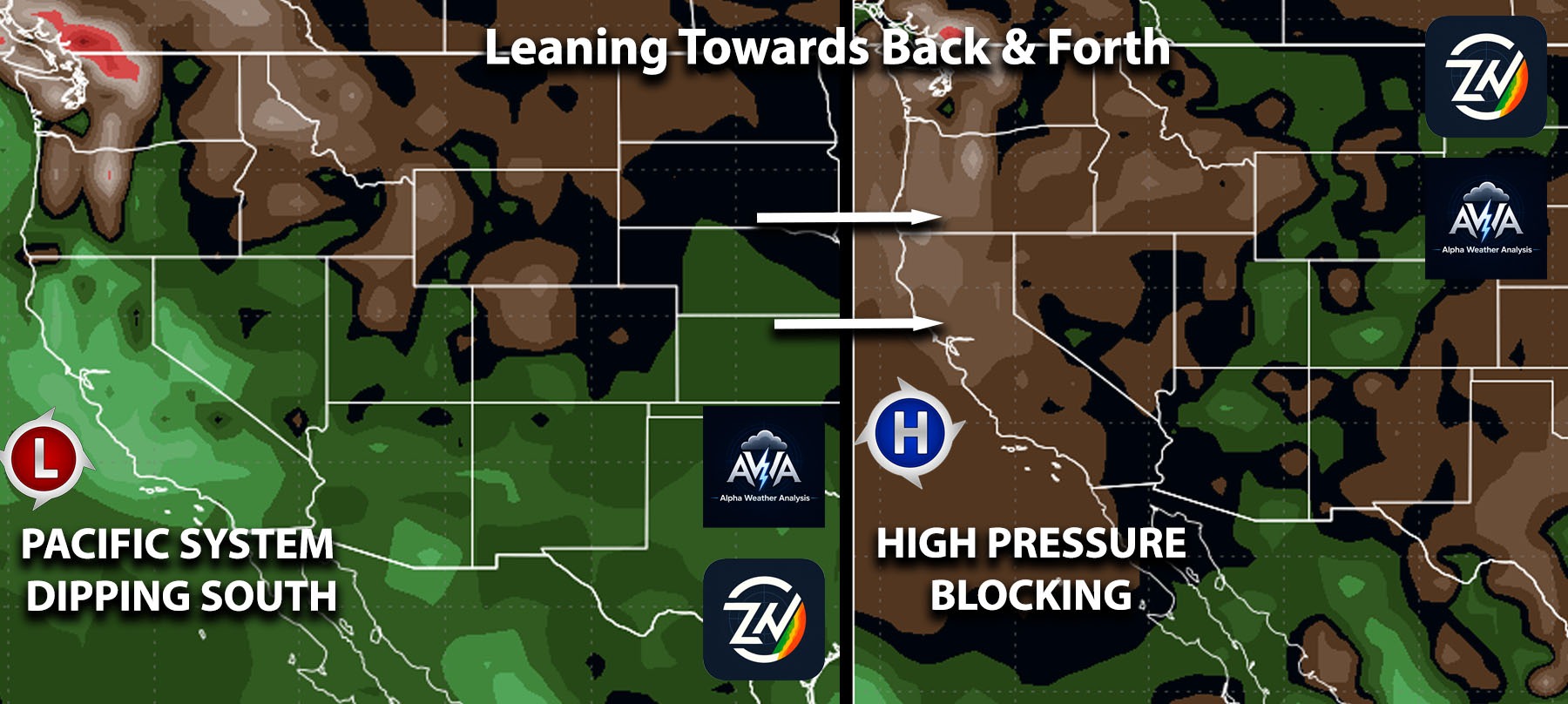
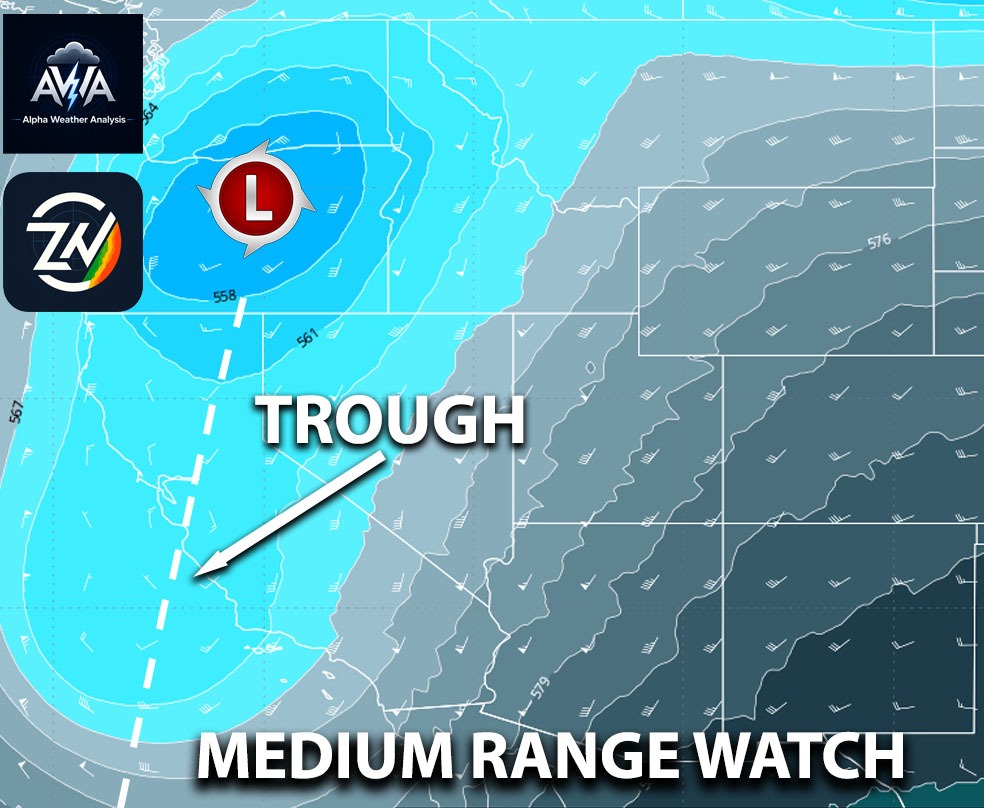
The interaction between Rachel and the other weather systems adds complexity to both the placement and duration of the heaviest rainfall. Where deep tropical moisture, strong lift, and repeated rainbands overlap, rainfall can accumulate rapidly. The greatest flooding concerns will develop where rainfall intensity overwhelms drainage systems or where heavier bands persist for several hours.
Flooding impacts may vary considerably over short distances. Roads, low lying areas, normally dry washes, and locations with poor drainage will be especially vulnerable. Avoid driving through flooded roadways, even when the water appears shallow. Of course don’t do what I already see people doing which is driving through flooded roadways.
Coastal Flooding and Dangerous Beach Conditions
Coastal flooding is another significant concern with Rachel. Impacts are already on going, and conditions are expected to worsen Sunday, with hazardous coastal conditions potentially continuing into next week.
TLDR Summary: Tropical Storm Rachel could approach Category 1 hurricane strength before landfall, with its exact track determining the severity of impacts across Southern California and the Southwest. A track near San Diego could bring gusts of 55 to 65 mph, locally exceeding 70 mph, while a farther south track into Baja would generally favor gusts of 35 to 45 mph, with isolated stronger gusts. Both scenarios carry threats of damaging winds, torrential rainfall, localized flooding, and dangerous coastal conditions, with coastal impacts expected to worsen Sunday and potentially continue into next week. Complete preparations before conditions deteriorate, avoid flooded roads, and check AWA Insiders for detailed local timing and risk maps.
Follow Up Updates?
The severity of flooding will depend on Rachel’s track, wind direction, wave conditions, and the timing of high tides. Vulnerable beachfront areas could experience significant flooding, wave overtopping, and beach erosion. Dangerous surf and strong currents will also make conditions hazardous near the shoreline. Note that AWA Insiders will be the only place for very in-depth breakdown into all specific micro regions plus timing and much more including risk management models and maps.