Overall Discussion
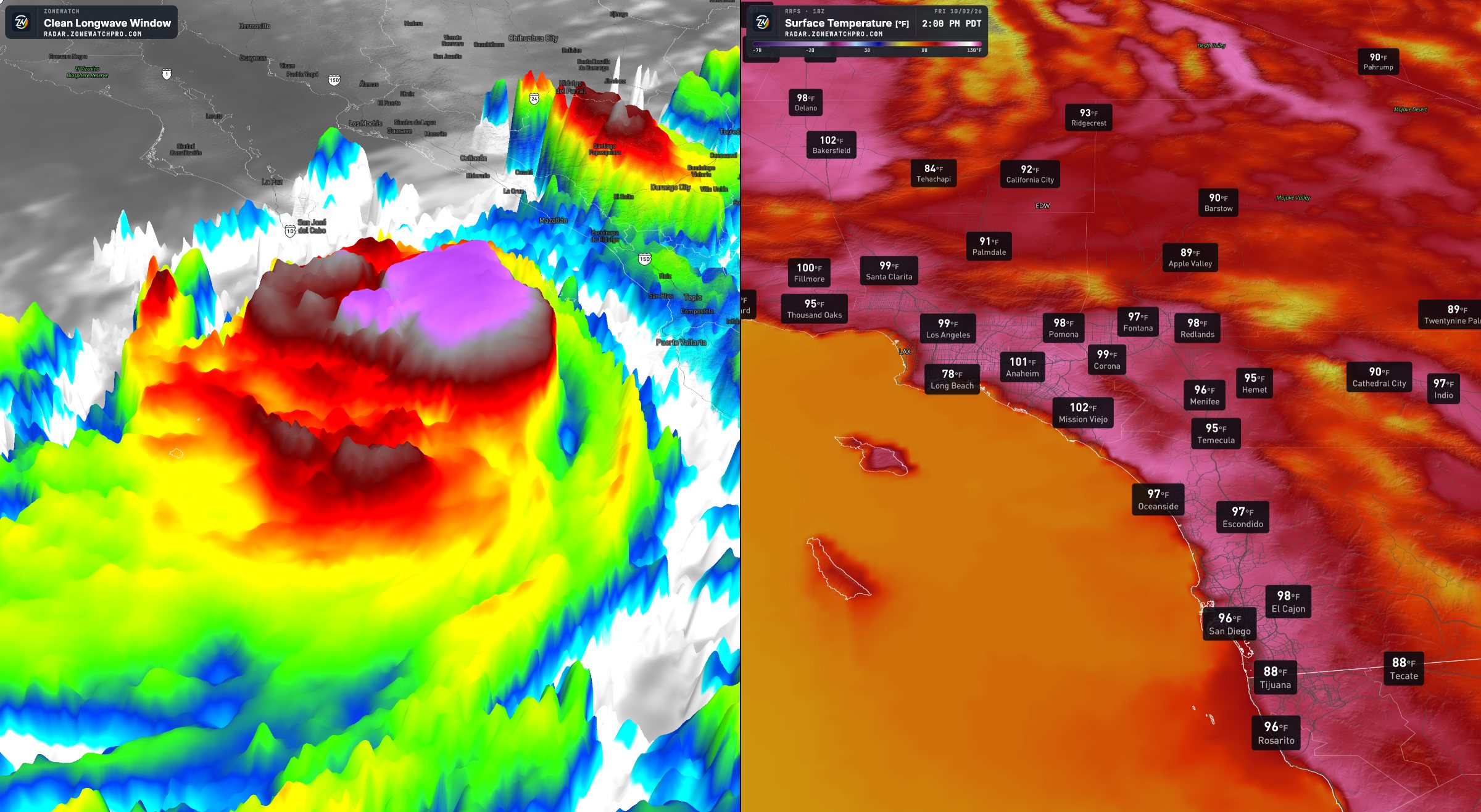
High pressure continues to dominate the Southwest, bringing intense heat across Southern California and surrounding regions. At the same time, offshore winds have also been impacting especially wind prone areas, bringing strong gusty winds that combine with that scorching hot sun.
Current Oven Heatwave Pattern
Hot conditions look likely to persist until around October 10th, with coastal areas also being part of the issue and adding to the discomfort. The heat extends across much of California, Arizona, southern Nevada, and portions of Utah.
Cool Down Looking Likely
A potential pattern change around October 12 could bring a trough and an associated low pressure system, allowing temperatures to fall. Depending on its strength and placement, San Diego could return to the upper 70s or low 80s, while parts of Arizona may remain in the upper 90s.
The timing and degree of cooling remain uncertain. However, a pattern change is looking more likely with at least a decent cool down. October is typically dry across much of the Southwest, but its weather does not determine what November and December will bring. El Niño also does not guarantee a warm or dry October. A separate article will explore its potential influence and possible scenarios for the Southwest and Northwest.
Pattern Change Might Also Bring More
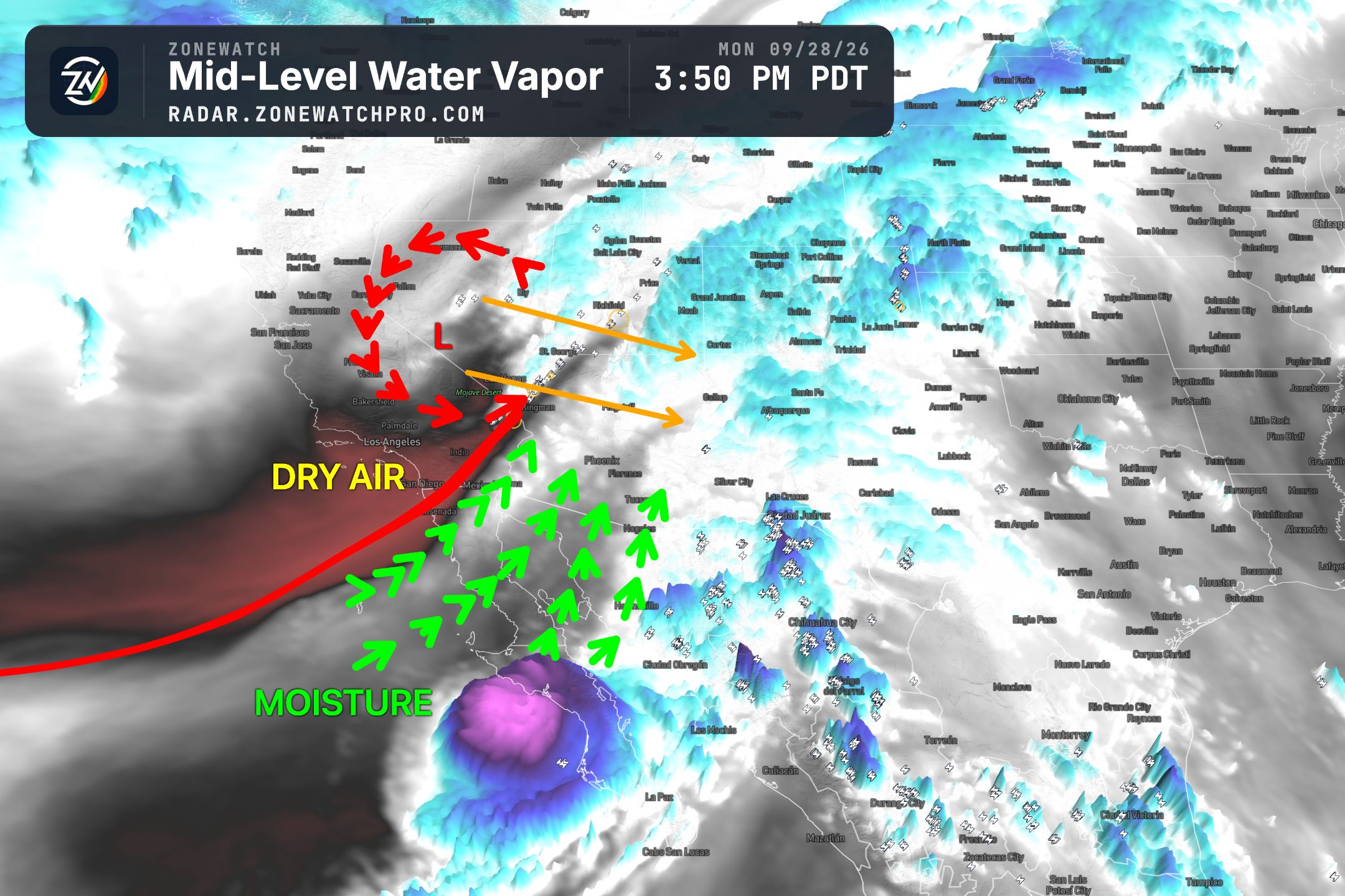
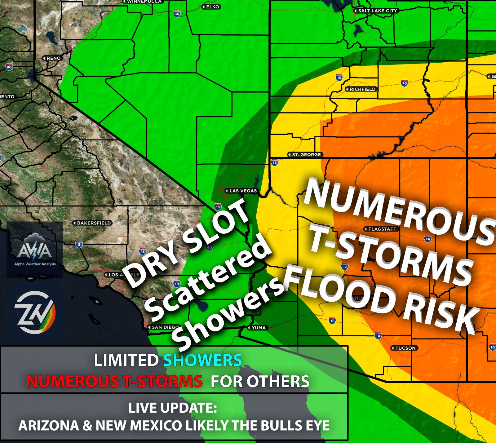
Along with cooler weather, the approaching trough could draw remnant tropical moisture into the region. This would be moisture from a tropical system, rather than a hurricane directly reaching Southern California. Model runs have ranged from scattered showers and thunderstorms to much heavier rainfall, so it remains too early to forecast specific totals. Overall, Arizona is also looking once again like the main area of concern when it comes to precipitation. However, the timing of the trough is what will matter a lot.
It could also bring nothing at all or very little impact. That said, it is the month during a super El Niño when we get potential tropical influences, something that will be watched all month with the active track.
The trough’s position will determine where that moisture travels, if it reaches the region at all. Southern California and the broader Southwest could receive rain, or the moisture could shift toward Central California and leave Southern California largely dry, although I am leaning toward some impacts occurring.
TLDR Summary
Intense heat will continue across much of the Southwest until around October 10th at least as the oven continues, with coastal areas of southern CA first feeling the relief as the ocean breeze comes back in. A likely pattern change could then bring cooler temperatures and potentially draw remnant tropical moisture into the region, allowing for showers and thunderstorms should the pattern hold. However, the timing and track remain uncertain, and rainfall could range from little or nothing to more substantial amounts. October’s heat also does not determine what November and December will bring, even with El Niño. An update for this will come sometime later today.
Stay tuned as the timing, track, and potential impacts become clearer with time.