The Heat and the Humidity:
The weather continues to bring increasingly active periods. For now, we remain stuck in this intense heat wave combined with something we usually do not get: moisture. With dew points hitting the 70s in some places and the 50s and 60s in others, it is getting sticky.
For areas where the dew point is now in the 70s, such as the San Diego coast, it really pushes that feeling of heat to an entirely new and uncomfortable level. While the thermometer might innocently show you 85° or 90°, adding that moisture means the feels like temperature will aggressively tell you otherwise.
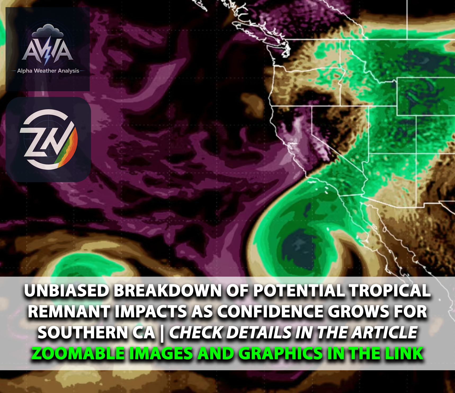
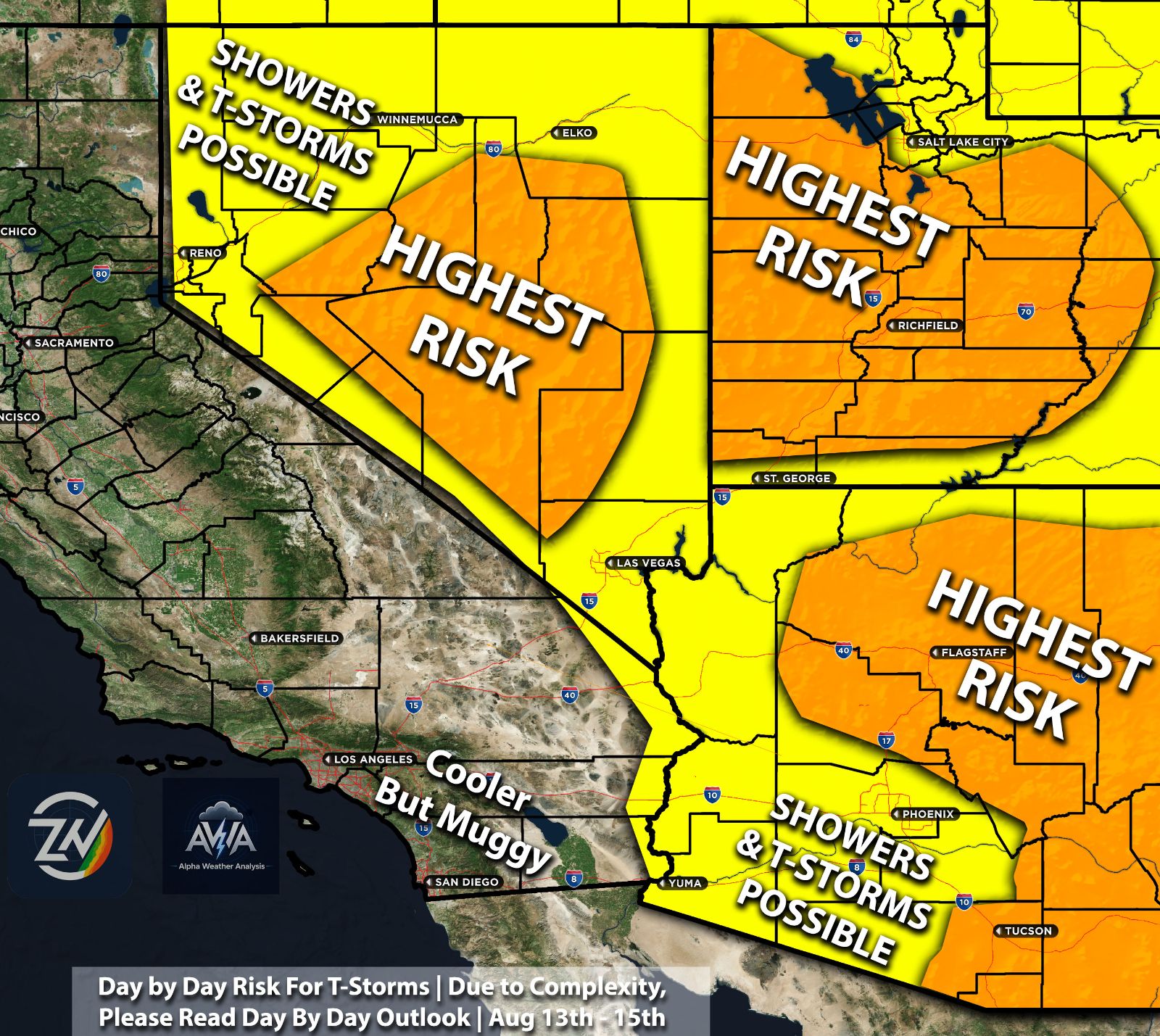
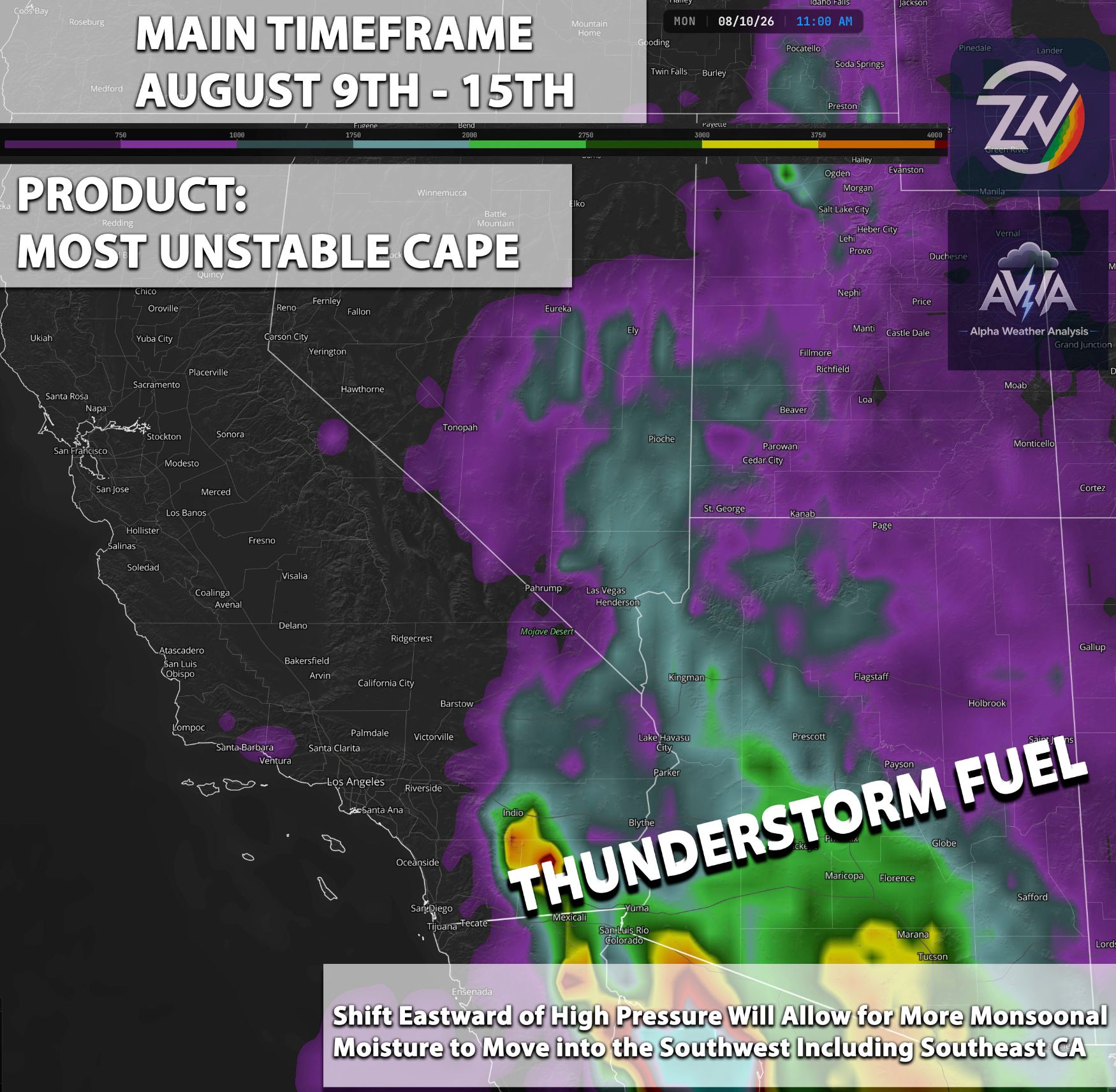
We now have remnant moisture starting to trickle into the Southern California Bight, though it is not very deep. We are actively monitoring this to see exactly how much will actually reach the area. Showers and thunderstorms do seem more likely around Thursday and Friday of this week, especially across the higher elevation areas where orographic lift does its thing.
Locations like Santa Barbara and the northern parts of Southern California face a higher risk of scattered showers. However, the moisture is not exactly abundant. Thanks to the dry air lurking in the lower levels, we will not see heavy precipitation or high rainfall rates. Rainfall amounts look extremely light for most areas, with many spots just getting a tease of a trace.
Florida Vibes on the West Coast:
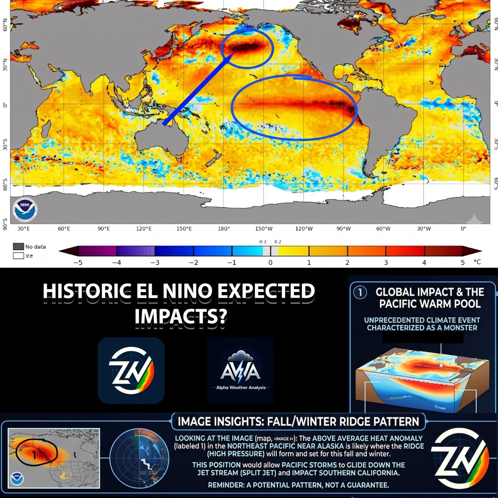
As for El Niño, its presence is being felt across the globe, but our focus remains on the West Coast. Temperatures are already scorching hot, but this time they are definitely not a dry heat, especially near the coast. The humidity is downright miserable.
It is simply not normal for the San Diego and Los Angeles coastlines to experience dew points in the mid 60s, upper 60s, and even the low 70s. Meanwhile, the sea surface temperatures right off the coast are exceptionally hot, which is exactly why you are experiencing these swampy conditions.
Right now, it just feels miserable and thoroughly uncomfortable. If you feel like you accidentally moved to Florida without packing your bags, you are not alone.
Unfortunately, as this pattern persists, El Niño continues to strengthen, and we slowly march into September, confidence in subtropical activity is increasing. The forecasting models are starting to agree.
While no direct impact from a subtropical storm or hurricane is currently expected, we will keep a very close eye on it. At the very least, subtropical moisture will continuously flow into our area consecutively, ramping up high terrain shower and thunderstorm activity, along with scattered showers across Southern California and the broader Southwest region.
The Winter Setup & Potential Impacts:
This entire scenario is brewing a highly fascinating setup. If a subtropical system eventually impacts our region and provides enough lift, things could get wild. Unfortunately, this would pave the way for potentially massive rainfall and precipitation rates across the region.
You have to remember that El Niño does not guarantee anything. However, when it operates at these extreme, off the charts levels, it definitely sets the stage. It essentially removes the lid on the potential for these setups, increasing the chances of significant to catastrophic flooding.
Looking ahead toward November and December, I am closely watching how the jet stream dips into Southern California or even further south. If any Pacific storm latches onto an atmospheric river and combines with the abundant moisture already lingering here, it could create a catastrophic setup for major flash flooding and absolutely abnormal rainfall rates across the region. This is absolutely a scenario we all need to monitor.
Now, nothing is guaranteed. If this setup fails to materialize and we miss out on Pacific storm systems due to a negative Pacific Decadal Oscillation, we might face a highly problematic fire season next year. That being said, if we do get consecutive Pacific systems, a scenario most ensemble models are already agreeing on, we really have to watch out for those atmospheric rivers.
We now have another spicy ingredient in the mix: unusually hot ocean surface temperatures generating immense amounts of moisture. If you combine that with what meteorologists call a Pineapple Express atmospheric river, you get the perfect recipe for catastrophic flooding.
Looking Ahead: Relief and Records:
We will continue monitoring all of this. Once again, it is not a certainty, but definitely something to watch. For now, please try to enjoy those gross and humid temperatures. As we inch closer to winter, things are poised to change when the pattern flips.
Next on the agenda: as the subtropical remnant moisture arrives, the jet stream will actually dip down with a trough. This will allow us to cool down into next week. It will not be a massive cooldown, but just enough to give us a slight break. Unfortunately, that stubborn humidity is not going anywhere.
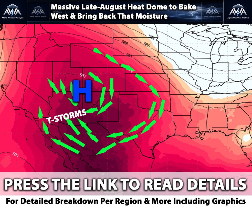
Looking into the medium range, there seems to be some agreement that another high pressure system will set up, increasing our temperatures once again and making us wonder if summer will ever actually end. Will fall still feel like summer? It certainly looks that way.
At the same time, we are witnessing history in the making. Sea surface temperatures have already hit their highest records in over four decades. We are not just talking about the Niño 3.4 region, as those numbers will not max out until November or December.
However, we are already shattering records for worldwide sea surface temperatures, and those records will likely continue to fall. The 2026 and 2027 season will definitely be one for the history books, even if the Southwest somehow manages to get spared.
The Long Range Outlook
This brings up the next question. Let us say we go through either scenario: lots of heavy rain and major flooding, or we completely dry out. Either way, it is a recipe for disaster because as soon as this El Niño maxes out, it looks like the pendulum will swing in the opposite direction.
This means a potentially wild La Niña is waiting in the wings, and La Niña rarely does us any favors.
Looking ahead to next year, especially toward the end of 2027, the fire season will absolutely need monitoring. If we get enough precipitation this winter and build a massive snowpack, it might significantly suppress that dry fire activity late next year.
It is a long way out, but these long range patterns are worth considering. Unlike some who prefer to guess cast, we prefer to stick to forecasting, only discussing patterns that show solid model agreement and are actually worth your time.
Finally, if you live in a flood prone area, please make sure you are prepared for this winter. It is always better to prepare for a disaster that never arrives than to be caught off guard when one does. Ignoring the prep work just puts you and your property in unnecessary danger.
There is no need to panic, just stay aware. Stay tuned for more updates.