The Emergence of a Historic El Niño
We are currently observing an unprecedented climate event, characterized by meteorologists as a Monster El Niño. Driven in part by long term global warming, deep underwater temperatures in the tropical Pacific are soaring up to 16 degrees Fahrenheit above average. This massive pool of heat is moving eastward and rising toward the surface, indicating that a Super El Niño is fully underway and continuing to build strength. This extreme warming in the tropical Pacific region is expected to culminate in a historic peak by December.
A Tale of Two Oceans: Shifting Storm Seasons
The intense heat blanketing the Pacific from this Super El Niño is drastically altering global tropical cyclone activity. While the Pacific Ocean is projected to be extremely active, the Atlantic hurricane season is anticipated to be unusually quiet. Recent data from the Google DeepMind model supports this trend, predicting zero storms in the Atlantic over a two week period following the decay of Tropical Storm Bertha, compared to eight emerging storms in the highly active Pacific basin.
Priming the Southwestern Monsoon
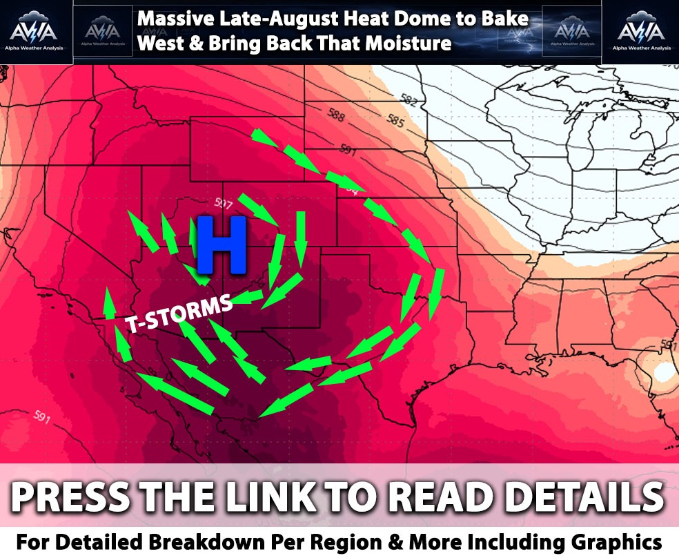
For the southwestern United States, these broader climate patterns, including the moderate El Niño, a bustling Eastern Pacific, and a stubborn heat dome over the southern states, are creating ideal conditions for a robust monsoon season in early August. This setup acts as a funnel, dragging significant tropical moisture northward into states like California, Nevada, Arizona, Utah, New Mexico, and Colorado, eventually reaching the Rockies. While rain will not be a daily guarantee everywhere, folks should prepare for an atmosphere highly conducive to above average precipitation and heightened risks of severe weather, including frequent lightning, strong winds, flash floods, and debris flows near recent burn scars. For some of those in areas where dust storms occur, those will be frequent and many as well.
Lets Compare 2015 El Niño and 2026
Speed and Peak Intensity:
The 2026 event is intensifying at an unprecedented, historic rate.
2015: The 2015–2016 event was massive, eventually peaking at a record SST anomaly of about 2.75°C.
2026: By early July 2026, the Niño 3.4 index had already shot above 2.0°C, outpacing the development speed of any prior El Niño. Climate models suggest the 2026 event could peak as high as 3.59°C later in the year, which would shatter the 2015 record and make it the strongest event in modern history.
The PDO Dampening Effect
A massive separator between these events is the Pacific Decadal Oscillation (PDO), a long-term ocean fluctuation pattern in the North Pacific.
The Contrast: In 2026, the PDO is strongly negative.
The Impact: A negative PDO acts as a background dampener to El Niño. It fundamentally alters the atmospheric circulation and downstream weather impacts. This means that even with record-breaking equatorial heat, the way the 2026 El Niño alters the jet stream and delivers rain or drought will look different than 2015, potentially mitigating some impacts in certain regions while amplifying others. No two El Nino’s are the same while they can be similar their impacts are NOT.
The last 11 years have been the warmest on record, meaning the 2026 El Niño is adding cyclical heat on top of an already elevated global baseline, raising the chances of 2026 setting new all-time global temperature records.
This El Niño Could Potentially Favor the West Coast
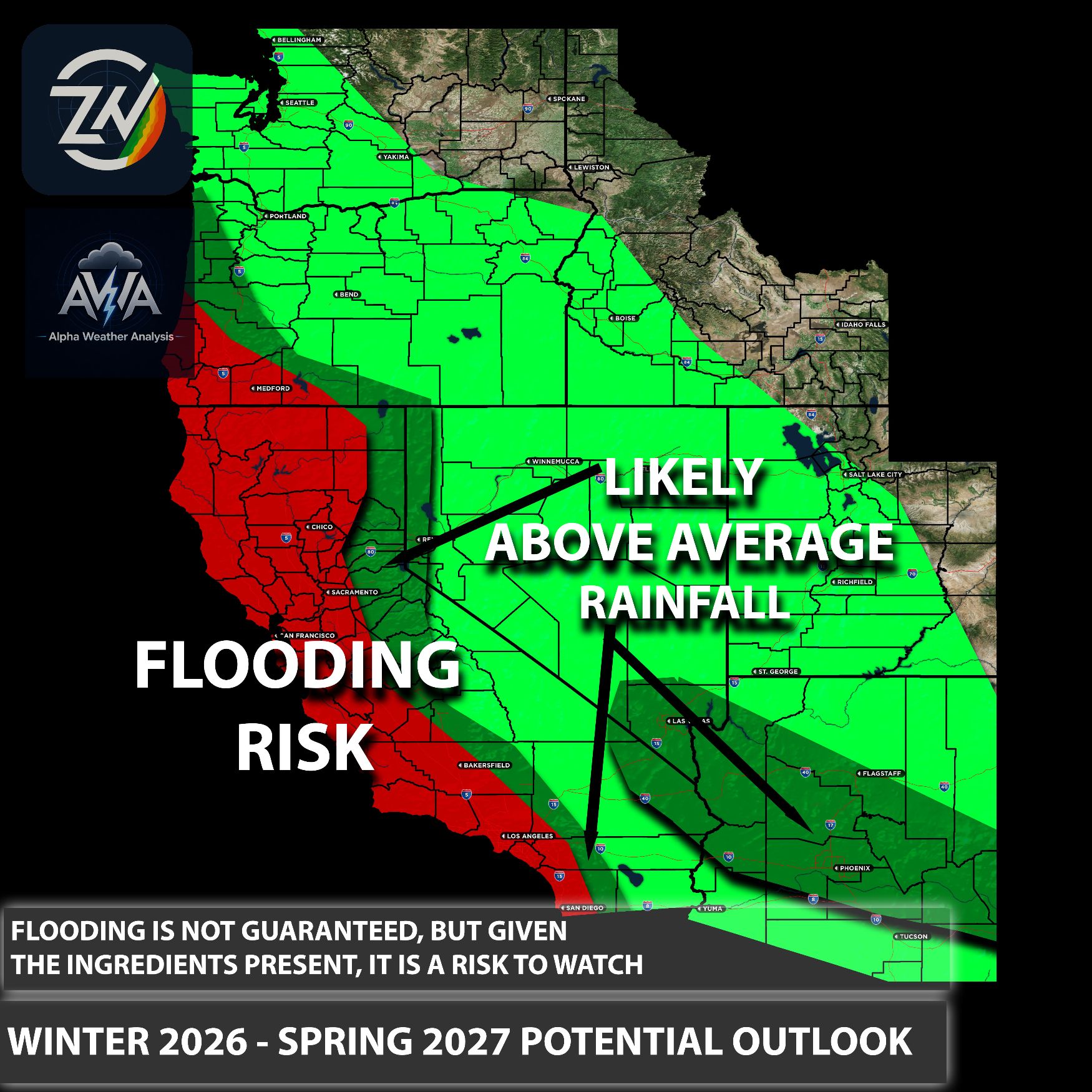
Interestingly, we are not following the pattern of the 2015 Super El Niño. This becomes clear when looking at the evidence and recent storm activity across the Southwest, the West Coast, and other regions; current conditions simply do not reflect that past scenario. Does this guarantee rain, flooding, and catastrophic events just because we are going to have a major, call it a mega, historic level El Niño event? No, it does not guarantee anything.
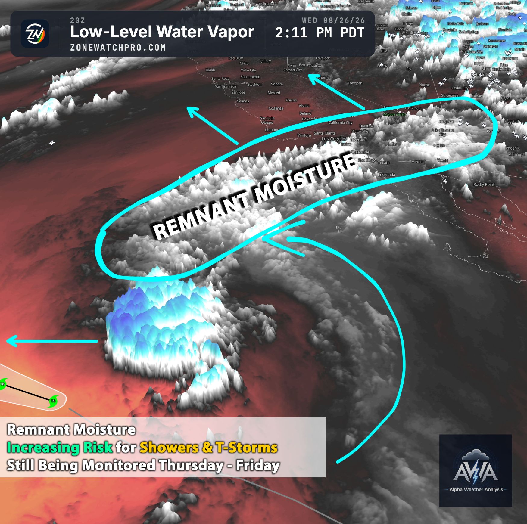
However, current patterns indicate an increased risk as we head into late summer and fall. As the high pressure system breaks down, we will start seeing subtropical moisture and hyperactive tropical activity on the West Coast, unlike in the Atlantic. This could potentially influence not only Arizona (which has seen the brunt of the activity) and its surrounding regions, but also Southern California if any of these tropical systems move north.
These systems do not have to slam directly into Southern California for us to feel the impacts; they just need to get close enough to pull moisture into our area. All we need is a low pressure system providing just enough lift to create the thunderstorms and rain we desperately want here in Southern California. This setup is not highly unusual, and while the risk is pretty high, it is never guaranteed.
What looks to occur next is that this high pressure system, still anchored over the Four Corners, will continue pumping moisture into Arizona, Utah, Nevada, and parts of California (though likely bypassing major Californian metropolitan areas). If you do get activity, it might be isolated to the mountains for a couple of days. You need other ingredients beyond just moisture to create storms, and those dynamics have simply been lacking in Southern California.
What we do see is that as this high pressure breaks down, the overall pattern will shift, potentially favoring Southern California. I am putting an emphasis on Southern California because you have experienced little more than humidity and heat, while other areas have seen almost non stop thunderstorms (excluding a few isolated microclimates that may have dodged the weather).
Another thing to note in the image below is the above average heat anomaly currently sitting in the Northeast Pacific near Alaska. This is likely where the ridge (or high pressure) will set up for this fall and winter. A ridge in this position would allow Pacific storms to glide down the jet stream, dipping into Southern California (via a split jet stream) and impacting the rest of the state as well. As a reminder, this is not a guarantee, but a potential pattern given current conditions.
Stay tuned for more updates.