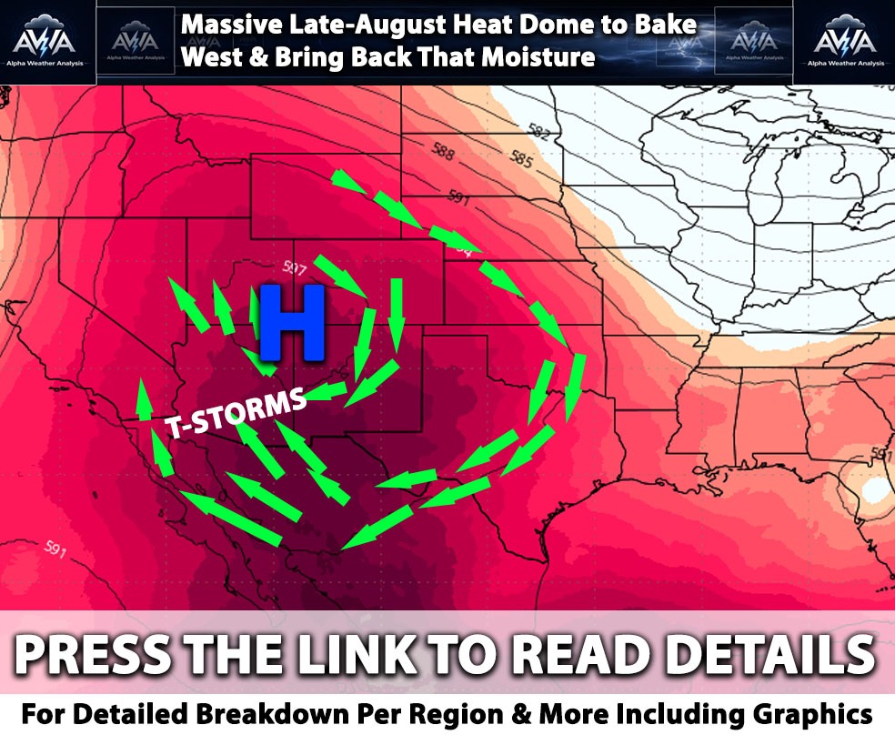
Overall Summary on the Pattern:
The stubborn upper level ridge that has been hogging the couch across the West will finally pack its bags and waddle eastward toward the Southern Plains and Four Corners by August 10. This shifting pattern swings the door wide open for a beefed up Southwest Monsoon. Forecast models show a massive surge of Precipitable Water (meteorologist speak for a whole lot of sky juice) funneling straight from the Gulf of California and northern Mexico into the Desert Southwest. Translation: buckle up for an increased chance of locally heavy downpours and flash flooding from the Desert Southwest up into the Central Rockies through mid August.
Here is how the monsoon action breaks down across the region:
Arizona:
As that oppressive high pressure ridge finally gets out of the way, a deep southeasterly flow will establish a robust monsoon, placing Arizona directly in the bullseye. With deep subtropical moisture funneling straight in from the Gulf of California, there is a moderate risk for heavy precipitation across the state, stretching northeast into southwestern Colorado. This massive influx of water, combined with high Convective Available Potential Energy (CAPE, basically thunderstorm fuel), will trigger widespread storms. Warning: There is a significant risk of dangerous flash flooding, particularly within recent burn scars and normally dry washes. (In other words, a dry wash is not a parking spot.)
Southern California & Inland Empire:
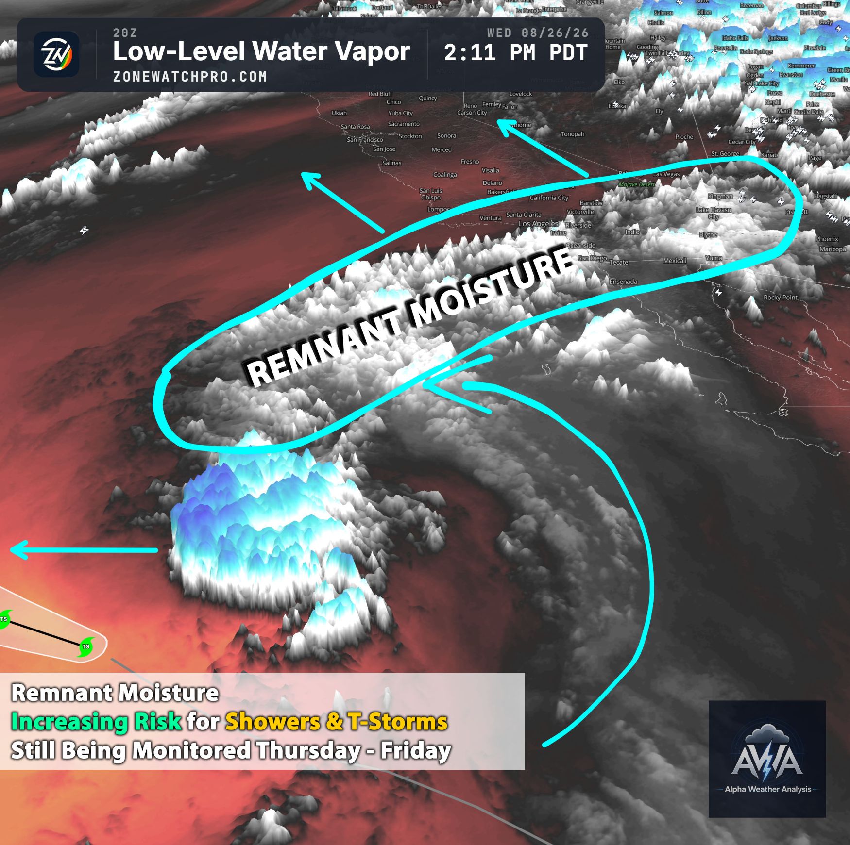
The shifting high pressure system will finally let some monsoonal moisture crash the SoCal party starting around August 9 and 10. While this brings a chance of afternoon mountain thunderstorms, your local car wash is probably safe in the metros, the odds of measurable rainfall each afternoon remain low The good news? The brutal heat risk will gradually back off, allowing coastal and valley temperatures to drop closer to normal. The Inland Empire will cool into the 90s and low 100s, while the lower deserts will stubbornly remain a blast furnace, with highs ranging from 108°F to 114°F. This is NOT a metro setup just not the right setup…Mountains perhaps and far Eastern Southern CA has better confidence for T-Storms. Have a way such as AWA alerts to be notified hours to days before the event under services.
Nevada:
The expansive moisture plume is rolling north into southern and eastern Nevada. A slight risk of heavy precipitation will spread into the region, bringing a notable uptick in thunderstorms. As the atmosphere saturates, the primary weather threat will rapidly shift from dry lightning starting fires to localized heavy rainfall causing flash floods. Mother Nature is officially trading her taser for a bucket.
Utah:
With the subtropical ridge parking itself near the Four Corners, the atmosphere is practically rolling out the red carpet for monsoon moisture to march straight into Utah. Because this risk of heavy precipitation extends northward directly through the Central Rockies, southern and eastern Utah face a very real flash flood threat. Slot canyons, dry washes, and recent burn scars will be highly susceptible to rapid inundation from slow moving, water logged thunderstorms. (Seriously, now is not the time to play hide and seek in a slot canyon.)
Northern California:
The deep monsoonal moisture is taking one look at Northern California and saying, Nah, I'm good. The region will sit entirely outside the primary storm risk zones and remain largely dry. Inland valleys will stay warm to hot, while coastal communities will continue enjoying their classic, built in air conditioning, courtesy of the usual marine layer and onshore flow.
Looking Beyond August 19th...
Curious about what happens in the back half of the month? A full mid month update will be released by Thursday, so stay tuned, assuming we haven't all melted by then. Keyword… return of high pressure? More Monsoon? Stay tuned for that update.