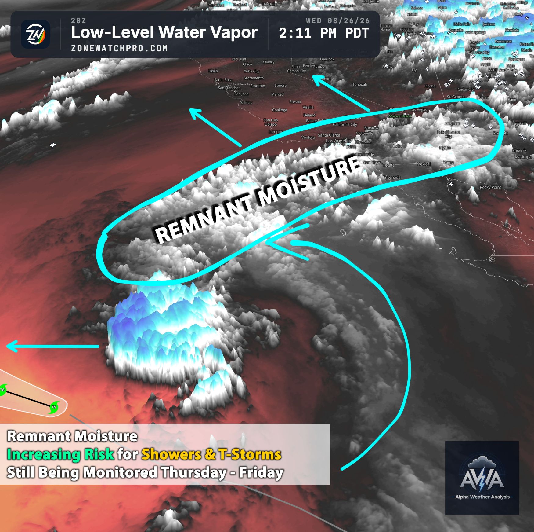
Overall Weather Discussion:
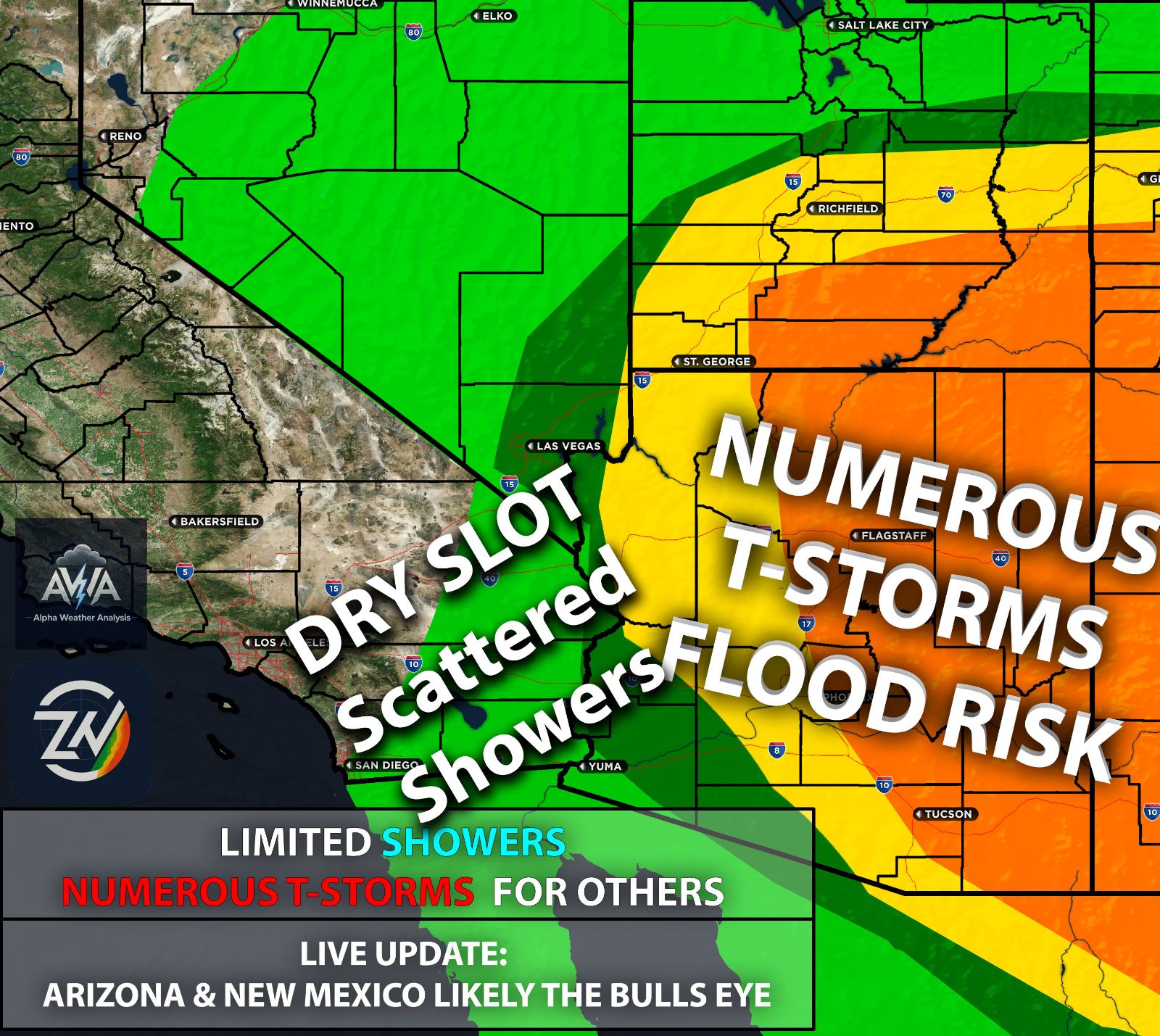
Well, some people got thunderstorms and periods of heavy rain, while others just got humidity and dry air near the surface that caused much of the rain to evaporate before reaching the ground. You know who you are. I’m talking about you, Southern California.
Now, let’s get into this update. As the trough and its associated upper level low continue moving eastward, they will draw remnant moisture from the two tropical systems into Arizona, Utah, Colorado, and surrounding areas before eventually moving out of the region.
Temperatures Rising Again Despite Being Fall:
While it is officially fall, temperatures certainly will not feel that way across much of the Southwest, especially Southern California. High pressure is expected to build back into the area starting this coming weekend, bringing a temporary but sharp rise in temperatures, with highs returning to the 80s and 90s and some locations potentially reaching the 100s°F.
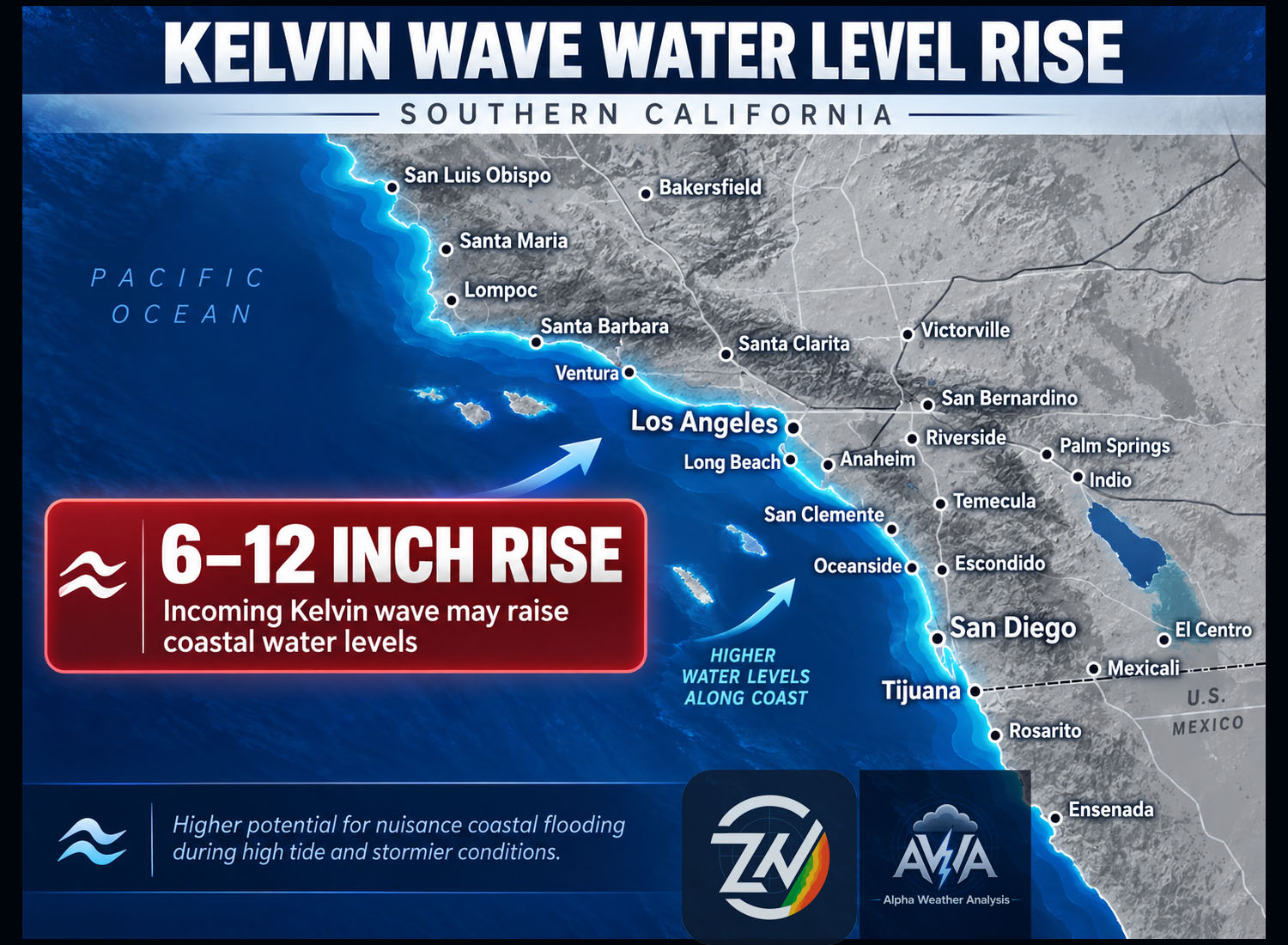
To make things even more uncomfortable, lingering moisture could keep conditions feeling humid as temperatures climb. Unusually warm coastal waters can also contribute additional moisture to the air when winds are favorable.
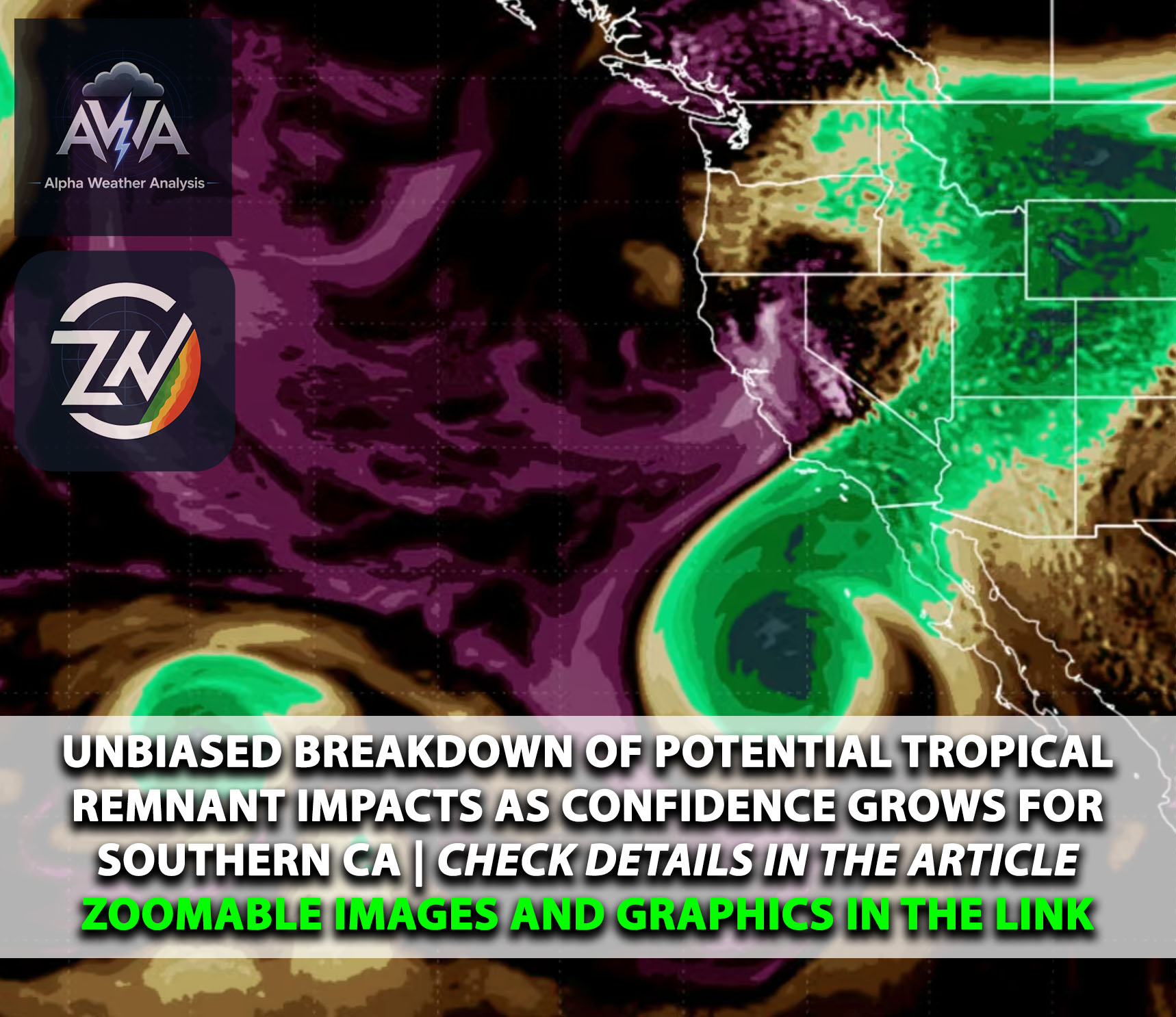
Now, this setup is better described as tropical moisture interacting with an upper level low rather than a typical monsoon pattern. In some ways, it offers a preview of how a Pacific storm system can draw moisture into the Southwest, even though this particular low was cut off from the main jet stream.
Had the low tracked a little farther west, the placement of the moisture plume and dry air could have been very different for Southern California. That shift could have brought deeper moisture into our area and increased the potential for showers and thunderstorms.
Combined with sufficient lift and steep midlevel lapse rates, meaning temperatures decrease rapidly with height, that moisture could have supported stronger thunderstorms capable of producing intense rainfall. However, whether Southern California would have experienced worse conditions than Arizona would depend on storm coverage, movement, and how long heavy rain persisted over the same locations.
This setup is a reminder of how much the position of a low can matter. A relatively small shift can mean the difference between mostly humidity and clouds or a much more impactful rainfall event.
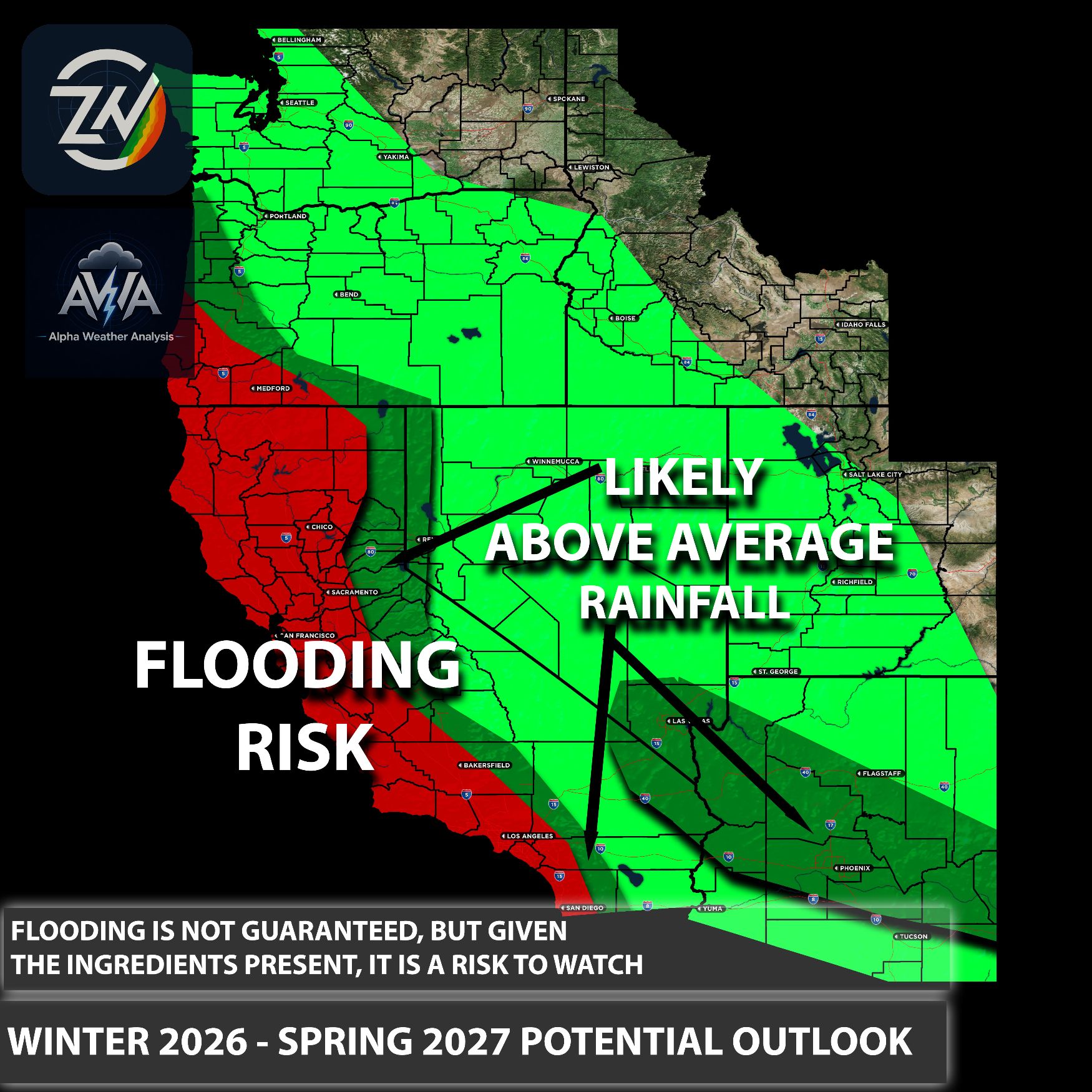
As we move deeper into fall and winter, we will be watching for systems that bring deep moisture, colder air aloft, and sufficient lift together over Southern California. This event alone does not tell us how often that will happen this winter, but it highlights why preparation matters well before a storm arrives.
TLDR: The departing low will continue pulling tropical moisture into Arizona, Utah, Colorado, and surrounding areas, while much of Southern California was left with humidity and rain evaporating before reaching the ground. High pressure will bring another round of heat, with temperatures climbing into the 80s and 90s and possibly reaching 100°F in some locations. A slightly farther west storm track could have brought Southern California heavier rain and thunderstorms, highlighting how much the low’s position matters as we watch future fall and winter systems.
Stay tuned for more updates.