Strengthening high pressure will bring hotter weather across the Southwest region, especially Southern CA, with warming accelerating Friday and continuing through the weekend. Inland communities face the greatest heat, but weaker ocean breezes will also allow temperatures to climb closer to the coast. The oven is back on despite it being fall.
Southern California’s offshore winds could become more noticeable Saturday, pushing additional warmth toward coastal communities. However, the oven will already be preheating as soon as Thursday. Classic Santa Ana events often sharply lower humidity and dew points, but some coastal areas may retain enough moisture to make this heat feel more oppressive. That added humidity will not be uniform, as inland areas could still become slightly drier, even with some locations remaining muggier than normal.
Let’s talk about wind gusts, as those will also be something to watch. Typical Santa Ana wind gusts could begin as early as Friday afternoon, becoming especially noticeable Saturday and Sunday. Some locations, including the San Diego mountains and other areas prone to strong offshore winds, could see gusts reaching 50 to 60 mph, with locally higher gusts. Metropolitan and inland areas can also expect gusts of 25 to 35 mph, with higher gusts in some locations.
Gusty winds will also affect Arizona’s valleys, mountains, and deserts. Most areas could see gusts of 15 to 25 mph, while some locations could reach 25 to 35 mph, with locally higher gusts.
The duration is another concern. Southern California’s heat could persist through the first week of October and potentially into the second, with little lasting relief. A dependable cooldown toward the end of October is still too far away to promise, so patience and continued heat precautions will be important.
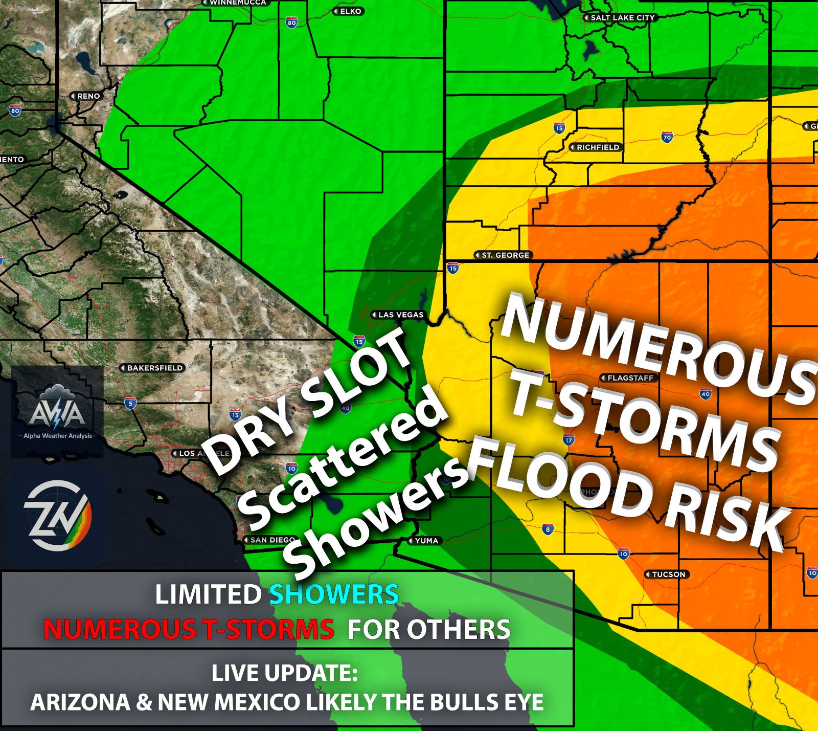
Arizona will trend warmer and mostly dry Thursday through Sunday as the recent storm system moves away. However, lingering runoff can keep rivers and washes elevated, including portions of the Little Colorado River, even after local rainfall ends. Thankfully for you, the direct heat of the oven will be more towards Southern CA. That being said, you still get the contact heat from the high pressure.
The tropics also remain active as October begins, keeping another possible delivery of tropical moisture on the table. Whether that moisture reaches Southern California, favors Arizona and surrounding states again, or stays farther out over the Pacific will depend on storm tracks and the placement of passing troughs. Hawaii’s potential involvement would require a favorable track as well.
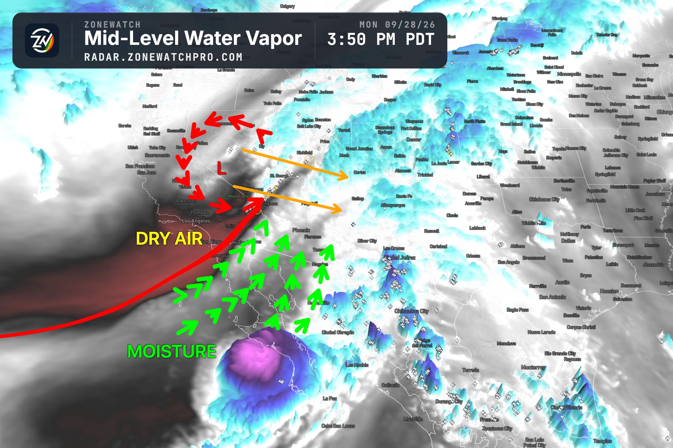
Additional tropical activity deserves attention, but specific storm counts, intensities, and destinations remain uncertain. Again, we do not expect a direct impact from a tropical system. The focus is on remnant tropical moisture, which already brought flooding to some areas and severe weather to others. Meanwhile, some of us in Southern California’s metropolitan areas received only humidity and light drizzle. The mountains and far eastern areas were a different story, with thunderstorms producing plenty of lightning.
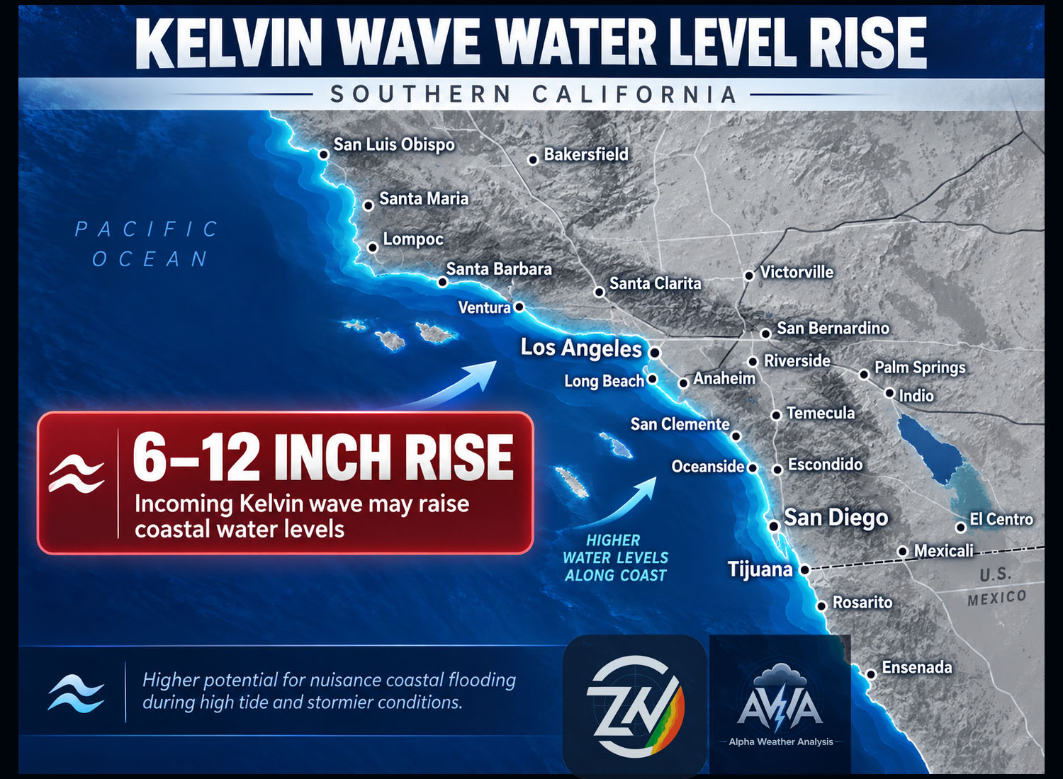
Remember, that Kelvin wave is expected to continue slowly making its way up the coast, eventually reaching Southern California by mid October. Water temperatures are expected to continue rising in waves, while water levels could increase by as much as a foot, increasing the potential for coastal flooding and erosion.
TLDR: The oven is back on! Southwest heat builds Thursday and intensifies Friday through the weekend, especially across Southern California, potentially lasting into the second week of October. Santa Ana winds could bring gusts of 50 to 60 mph in exposed mountains and 25 to 35 mph across metropolitan and inland areas, while lingering coastal humidity may make the heat feel more uncomfortable. Arizona also turns warmer and gusty, with lingering runoff keeping some rivers and washes elevated. Additional tropical moisture remains possible, though its destination is uncertain and no direct tropical impact is expected. A Kelvin wave could also raise coastal water temperatures and water levels by mid October, increasing flooding and erosion risks.
Stay tuned for more updates, and stay hydrated.