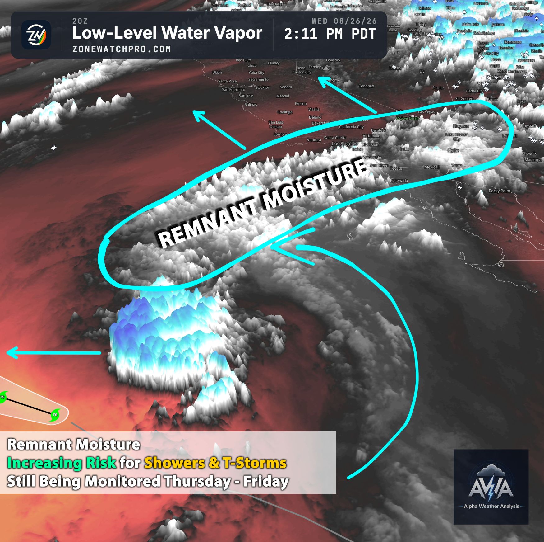
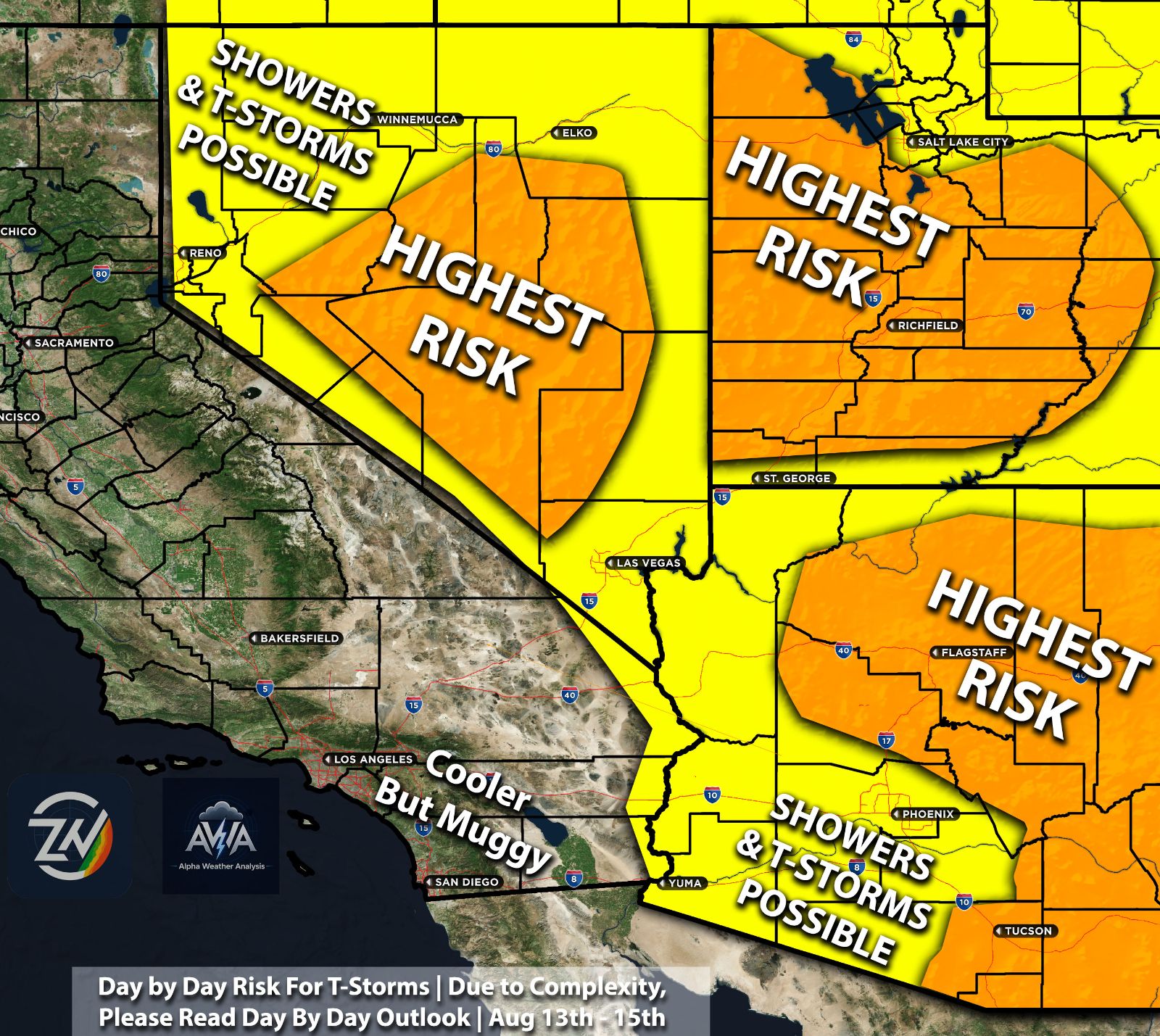
Same reason of why Arizona is being hammered on Wednesday due to those higher water temperatures and right conditions for tropical activity, that similar type of water is now being pulled into Southern CA Coastal area. Coastal areas of Southern California could experience a positive sea-surface height anomaly of roughly 6 to 12 inches by late October as the Kelvin wave and associated warm-water signal propagate toward the eastern Pacific and West Coast. Physically, coastally trapped Kelvin waves can raise regional sea level by deepening the thermocline and redistributing warm upper-ocean water toward the coast.
Even a several-inch increase in background water level is meteorologically and hydrologically important because it effectively raises the baseline upon which astronomical tides, wave run up, storm surge, and large surf occur. As a result, locations already vulnerable to nuisance flooding could experience more frequent inundation, with substantially greater impacts if elevated water levels coincide with high tides or an active storm system.
At the same time, portions of the coastal ocean may experience sea-surface temperatures approaching 11°F above climatological averages, with the warm anomaly potentially expanding northward along the California coast. If that occurs, the significance would extend beyond Southern California, with portions of Central and potentially Northern California also experiencing anomalously warm nearshore waters.
The spatial extent and persistence of this warming will be important to monitor because it can modify the lower atmosphere immediately adjacent to the coast.
From an atmospheric standpoint, unusually warm sea-surface temperatures increase the potential for enhanced sensible and latent heat fluxes from the ocean into the marine boundary layer. Under favorable wind trajectories, this can support higher near-surface dew points, greater low-level moisture availability, and a warmer, more humid coastal air mass. Had a great time with that humidity in early September? More is coming...
More Humidity & more Muggy Conditions
The result could be periods of unusually muggy or subtropical-feeling conditions, particularly across Southern California. However, warm water alone does not guarantee humid conditions inland; the magnitude of the effect will depend heavily on wind direction, boundary-layer depth, atmospheric stability, and the larger-scale synoptic pattern. Meaning in simple term on and off humidity but overall higher than normal...
More Moisture Could Mean Higher Flood Risk
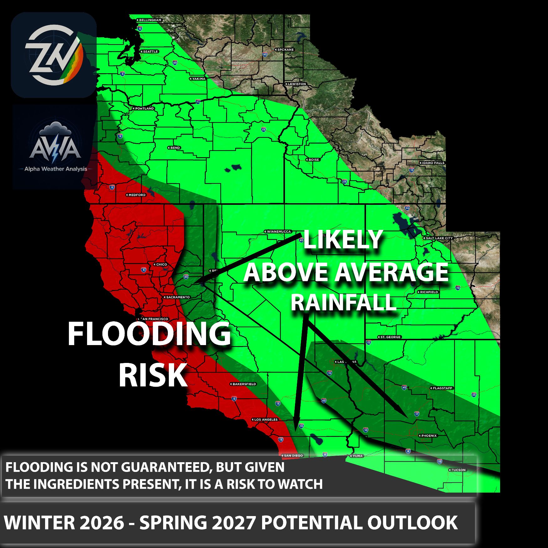
The more important meteorological implication comes when this anomalously warm and moisture-rich marine environment interacts with fall or winter storm systems. Higher sea-surface temperatures can increase evaporation and provide a larger local moisture reservoir, while broader-scale subtropical moisture transport may further increase precipitable water values.
If an incoming trough, atmospheric river, or other organized storm is able to efficiently tap that moisture, rainfall processes could become more efficient, potentially supporting higher rainfall rates and greater precipitation totals than would occur with a cooler and drier marine environment. This could easily cause flood events which are not normal to our area.
Summary of the Overall Pattern
In other words, the developing pattern is not simply a matter of warmer coastal water. The combination of elevated sea level, anomalously warm SSTs, increased marine moisture availability, and eventual interaction with stronger autumn storm dynamics is what makes this setup meteorologically important. None of these factors guarantees a major flooding or heavy-rain event by itself, but together they can increase the background potential for coastal flooding and moisture-enhanced storm impacts if the atmospheric pattern becomes favorable.
Stay tuned for more updates.
TL;DR Summary:
The same broader ingredient helping fuel Arizona’s heavy rain Wednesday, anomalously warm eastern Pacific and Gulf of California waters supporting deeper tropical moisture, is becoming increasingly relevant for Southern California as very warm water expands northward. A Kelvin wave could help raise coastal water levels by roughly 6 to 12 inches by late October, while nearshore ocean temperatures may run as much as 11°F above average in some areas. That combination can mean more frequent humidity, higher atmospheric moisture, and an elevated baseline for coastal flooding. The biggest concern comes when fall or winter storm systems tap into that moisture, potentially producing more efficient rainfall, higher rain rates, and localized flooding than would occur with a cooler and drier coastal ocean. None of this guarantees a major storm, but it creates a much more moisture-loaded background environment heading deeper into fall.