Overall Summary for the Pattern:
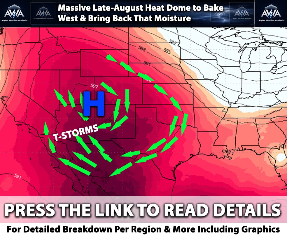
This is the Alpha Weather Analysis Team briefing on current outlook for the upcoming week and pattern… The weather pattern across the Western United States today throughout the week is being dominated by a massive dome of high pressure continuing to be anchored over the Four Corners region. Looking at upper level atmospheric data, specifically the 500 millibar heights, which measure the altitude of a certain pressure level and indicate where heat is trapped, this high pressure system is causing sinking air and intense heat for a lot. At the same time the clockwise flow around this ridge is acting like a giant pump, drawing deep monsoonal moisture, which is a seasonal flow of humid air originating from the tropics, up from Mexico into the Southwest region. Atmospheric moisture maps at the mid levels show thick plumes of humidity (moisture) streaming northward. As small ripples of atmospheric energy, known as cyclonic relative vorticity, or areas of spinning air aloft, move through this moisture rich environment, they will provide the necessary spark to trigger widespread thunderstorm activity across multiple states (especially AZ). A few of these storms can be severe.
Arizona Outlook:
Arizona is currently situated in the heart of this monsoon pattern (as it has for many days). We're noting that for today, deep moisture will initiate showers and thunderstorms primarily over the higher terrain in the eastern and northern parts of the state. These storms rely heavily on orographic lift, a process where wind hits the mountains and is forced upward, acting as a natural ramp to build storm clouds during the peak heating hours. While the lower deserts, including the Phoenix and Tucson metros, have lower rain chances today, the pattern shifts tomorrow. As the upper level high slowly moves eastward, the steering winds will shift, pushing more moisture and storm energy directly into the lower deserts. This will significantly increase the chances for afternoon and evening thunderstorms on Tuesday. Alongside the storm threat, hazardous heat continues, with temperatures in the lower deserts soaring between 105 and 110 degrees.
Clearly in this exclusive model by ZoneWatch we can see the ZWCAST Lightning Risk in action.
Nevada Outlook:
Southern and eastern Nevada are also tapping heavily into this monsoonal moisture surge. We're expecting daily thunderstorms to pop up each afternoon and evening, focusing on the mountains and higher terrain of Clark, Lincoln, and Mohave counties. Because the atmosphere in the lower valleys does not have a massive amount of explosive energy, known as instability, today, the main threat for cities like Las Vegas will be sudden, gusty outflow winds if any. Temperatures will remain seasonably hot, and because of the extra moisture and cloud cover, overnight temperatures will stay unusually warm and muggy, offering little relief and resulting in widespread heat risk.
Southern California:
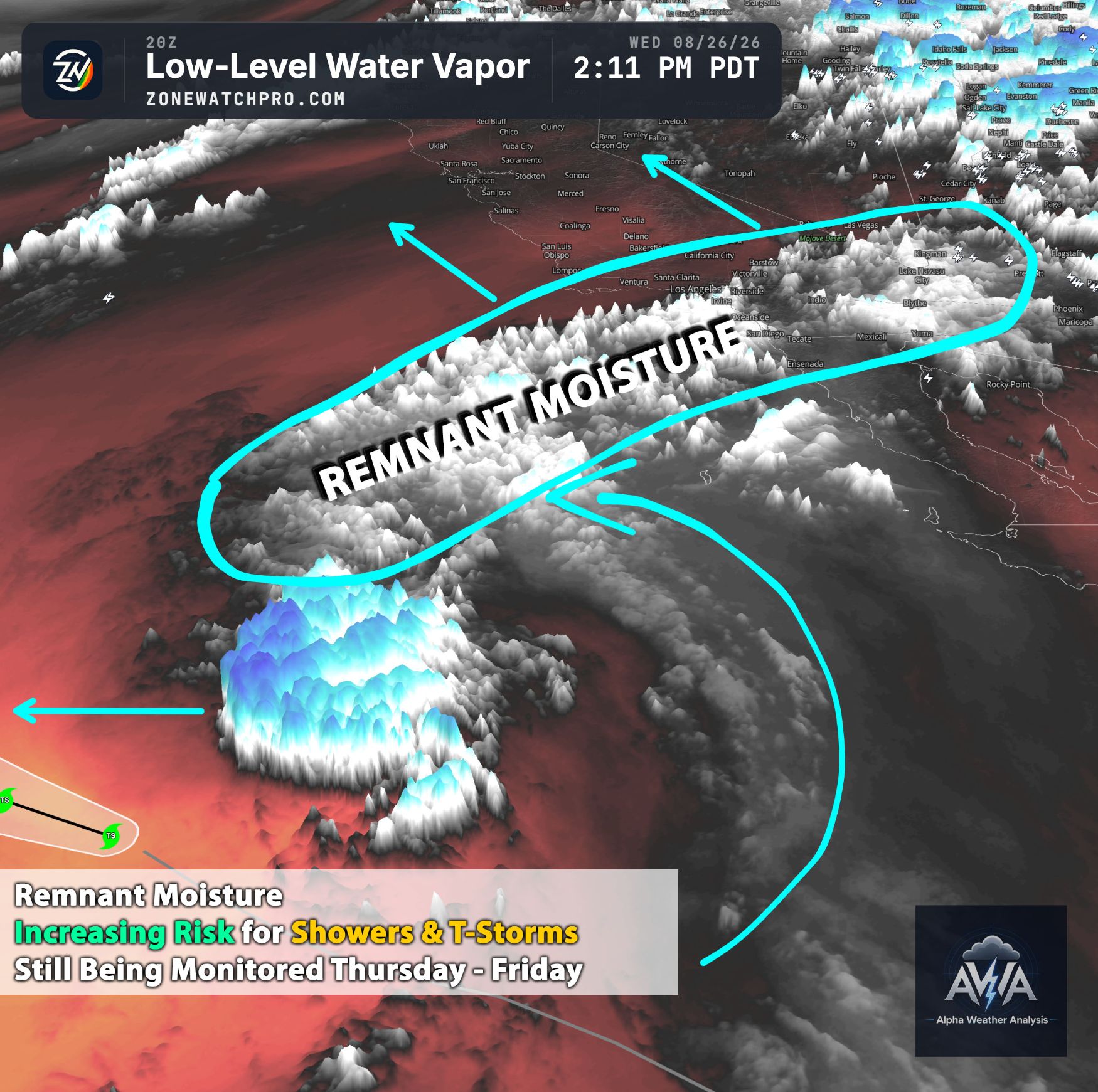
The monsoonal moisture is aggressively pushing into the Southwest region, but other ingredients compared to lets say AZ are lacking….There is just a mid-upper level dry air not allowing these storms to pop for now at least for the upcoming days as aggressively. An isolated shower or two in the upper terrain is possible but not convected especially for San Diego…a stray shower or thunderstorm over the typical interior mountains of Los Angeles and Ventura Counties through Tuesday is perhaps possible but not likely (it will be monitored each day and should ingredients change, AWA alerts will cover it). The atmosphere is quite stable right now here. For Meanwhile, a dangerous heat wave continues inland, with high temperatures in the lower deserts reaching up to 112 degrees, while the Inland Empire bakes in the mid 90s to over 100 degrees. Along the coast, a shallow marine layer, which is a cool, moist mass of air right off the ocean, will keep the beaches much more comfortable in the upper 70s (locally higher as you move away from the coast). However, beachgoers should remain cautious, as distant tropical cyclone activity to the south is generating elevated surf and strong rip currents each day. THAT BEING SAID... a risk for monsoonal thunderstorms (especially Mountains, Desert and Valley perhaps Inland) does increase after July 23rd and going forward after... More on details will be on the next update.
Northern and Central California:
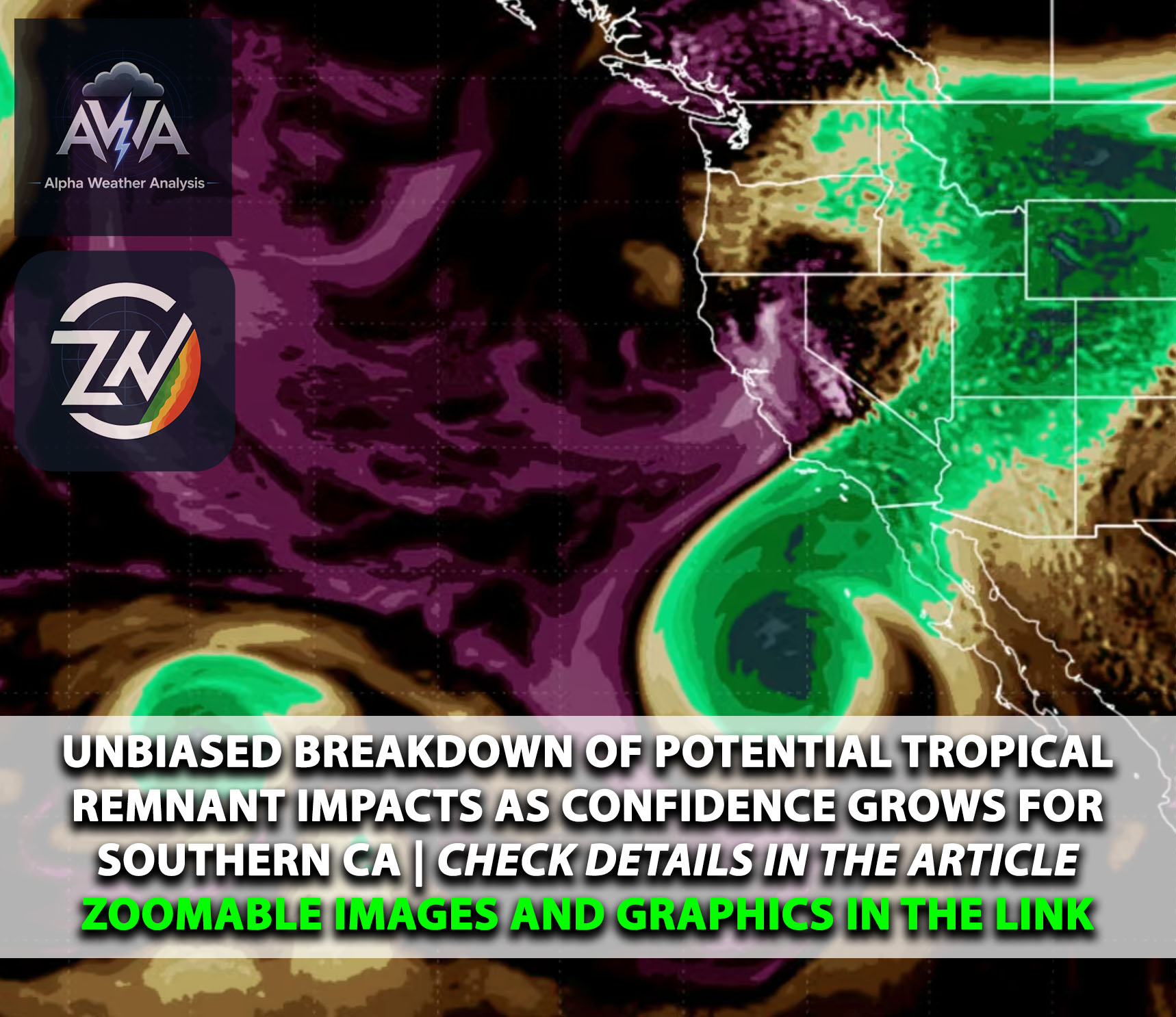
Unlike the desert regions baking under the high pressure ridge, Northern and Central California are experiencing a slightly different setup. A persistent onshore breeze from the Pacific Ocean is helping to maintain the marine layer along the coast and into the bays, keeping temperatures near or even slightly below normal for this time of year. However, some mid to upper level moisture from a distant, decaying tropical system is streaming overhead, bringing higher cloud cover. This weak elevated moisture presents a very slight chance for a few high based rain showers or a rogue dry lightning strike late Monday into Tuesday, primarily over the North Bay and higher elevations. Because the air near the ground is very dry, any rain that falls may evaporate before hitting the surface, a process known as virga.
Washington:
In the Pacific Northwest, an upper level high pressure ridge is building over Washington, bringing a notable and rapid warming trend. As this ridge strengthens, the coastal marine layer will clear out quickly during the day, leading to abundant sunshine. Inland areas, especially around the Puget Sound and Seattle, will see high temperatures climb into the mid 80s to low 90s today and tomorrow. This heat will lead to moderate to major heat risk, particularly in urban areas, as overnight lows will stay uncomfortably warm in the mid 60s. Adding to the weather concerns, northerly winds are expected to pull wildfire smoke down from active fires in British Columbia, which may create hazy skies, reduce air quality, and slightly limit daytime heating over northern Washington by Monday afternoon and Tuesday.
Utah Outlook:
Utah sits squarely in the path of the monsoonal moisture surging north from the Desert Southwest. This deep moisture is fueling daily rounds of widespread showers and thunderstorms across the state today and tomorrow. The most intense activity is expected across central and southern Utah, where heavy rainfall brings a significant threat of flash flooding, especially over burn scars and steep, sensitive terrain. In northern Utah, including the Salt Lake City area, a heat advisory is in effect as temperatures hover near 100 degrees. Storms in the north will be slightly more isolated, but any storms that do develop will carry the risk of brief heavy downpours, frequent lightning, and erratic, strong wind gusts driven by storm outflows.
Stay tuned for more updates.